Medium airport · Senegal

Ziguinchor AirportGOGG
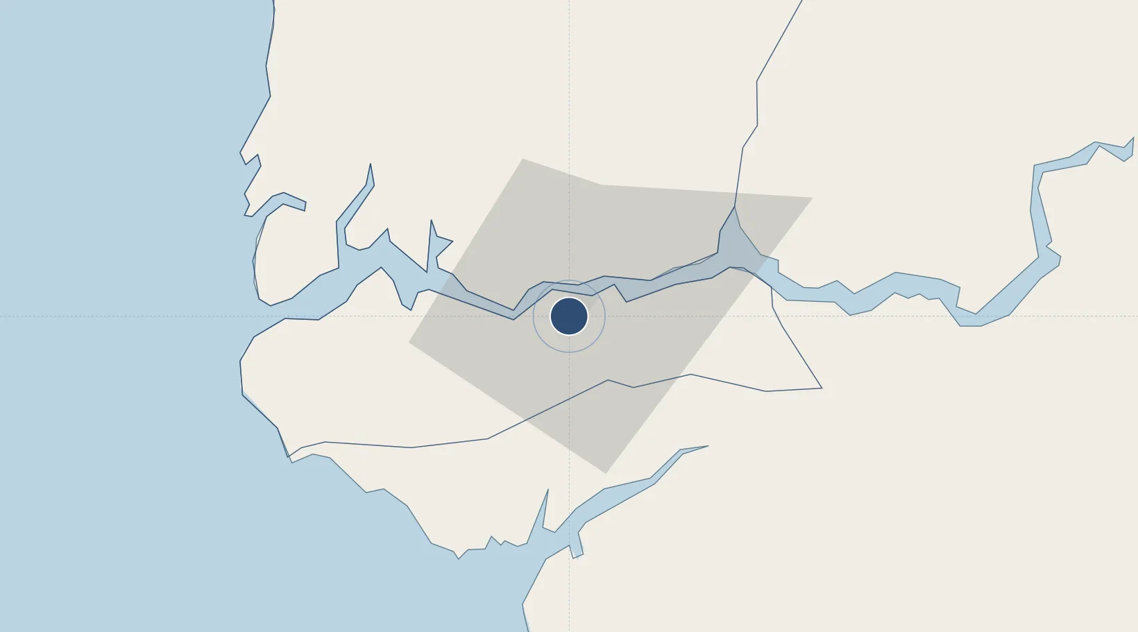
12.5556°, -16.2833°
5,069 ft
Longest runway
1
Runways
75 ft
Elevation

Runway & Layout

Ziguinchor Airport runway & taxiway layout
Runway & taxiway layout — OpenStreetMap (ODbL) / OurAirports

Radio Frequencies

TWR
118.7 MHz
A/G
568 MHz
RDO
OurAirports

Navaids

SZR NDB Ziguinchor 334 kHz
ZG VOR Ziguinchor 112.50 MHz
OurAirports

Runways · 1

RunwayDimensions SurfaceTrue headingLit
10/28 5,069 × 98ft Asphalt 088°
OurAirports

Airport Specifications

IATA code
ZIG
OurAirports
ICAO code
GOGG
OurAirports
Airport class
Medium airport
OurAirports
Scheduled service
Yes
OurAirports
Runway surface
Asphalt
OurAirports
Served city
Ziguinchor
OurAirports

Location

Location of GOGG
Natural Earth 10m (public domain) · Ziguinchor · GOGG · 12.56, -16.28GoogleOSMYandex

Nearby Logistics Neighbours

Airports
  1. 1Cap Skirring Airport54 km
  2. 2Banjul International Airport96 km
  3. 3Osvaldo Vieira International Airport101 km
  4. 4Kaolack Airport179 km
  5. 5Blaise Diagne International Airport250 km
Nearest neighbours — logibook spatial index (haversine) over the source coordinates
Cities
  1. 1Ziguinchor4 km
  2. 2San Francisco Libre6 km
  3. 3Cacheu35 km
  4. 4Sanyang94 km
  5. 5Canjaja103 km
Nearest neighbours — logibook spatial index (haversine) over the source coordinates
Ports
  1. 1Rio Cacheu31 km
  2. 2Banjul104 km
  3. 3Bissau104 km
  4. 4Lyndiane180 km
  5. 5Rufisque262 km
Nearest neighbours — logibook spatial index (haversine) over the source coordinates
Trade Zones
  1. 1Banjul Airport Export Processing Zone96 km
  2. 2GIETAF Special Economic Zone98 km
  3. 3July 22 Business Park99 km
  4. 4Multi-Sectoral Special Economic Zone of Bissau108 km
  5. 5Bolama Free Zone136 km
Nearest neighbours — logibook spatial index (haversine) over the source coordinates
DatabookThe Record of Consolidated Knowledge
Senegal beyond logistics?
Browse databook

All Sources

AirportsOurAirports
Public domain
Portsthe NGA World Port Index
Public domain (US gov)
LocationsUN/LOCODE
UN/LOCODE — free
Trade Zonesthe World Bank SEZ database
CC BY 4.0
Trade ZonesOpen Zone Map
CC BY
InfrastructureOpenStreetMap
ODbL 1.0
← Senegal airports