Export Processing Zone · Guinea

Boké Special Economic Zone Active
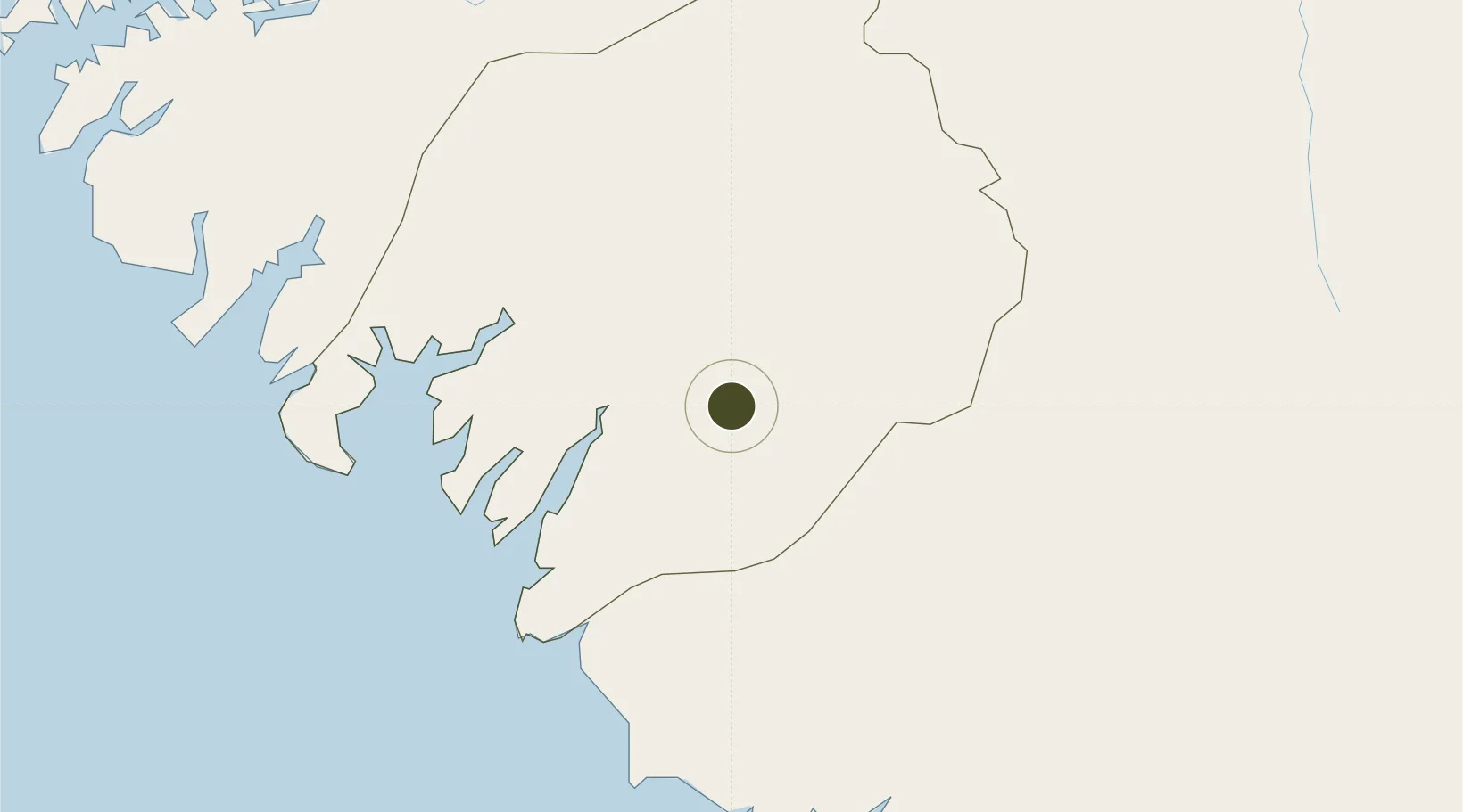
10.8903°, -14.2818°
31,186 ha
Zone area
46.4 km
Nearest port
163.4 km
Nearest airport

Gateway access

Nearest neighbours — logibook spatial index (haversine) over the source coordinates

Zone profile

Zone type
Export Processing Zone
Open Zone Map
Region
Boke
Open Zone Map
Status
Active
Open Zone Map
Management
Public
Open Zone Map
Operator
Société Minière de Boké
Open Zone Map
Legal framework
Decree D/2017/089/PRG/SGG
Open Zone Map

Location

Location of ozm-2058
Natural Earth 10m (public domain) · Boke · ozm-2058 · 10.89, -14.28GoogleOSMYandex

Nearby Logistics Neighbours

Ports
  1. 1Kamsar46 km
  2. 2Conakry165 km
  3. 3Bissau183 km
  4. 4Benti225 km
  5. 5Rio Cacheu263 km
Nearest neighbours — logibook spatial index (haversine) over the source coordinates
Airports
  1. 1Ahmed Sékou Touré International Airport163 km
  2. 2Osvaldo Vieira International Airport187 km
  3. 3Lungi International Airport280 km
  4. 4Ziguinchor Airport286 km
  5. 5Kédougou Airport292 km
Nearest neighbours — logibook spatial index (haversine) over the source coordinates
Cities
  1. 1Dapilon24 km
  2. 2Dougoula33 km
  3. 3Kamsar41 km
  4. 4Port-Kamsar45 km
  5. 5Sangarédi56 km
Nearest neighbours — logibook spatial index (haversine) over the source coordinates
Trade Zones
  1. 1Bolama Free Zone155 km
  2. 2Multi-Sectoral Special Economic Zone of Bissau179 km
  3. 3Bijagós Special Tourism Zone195 km
  4. 4New Koya City Aerotropolis (Airport City) and Economic Zone279 km
  5. 5Guoji Industry and Trade Zone292 km
Nearest neighbours — logibook spatial index (haversine) over the source coordinates
DatabookThe Record of Consolidated Knowledge
Guinea beyond logistics?
Browse databook

All Sources

Trade ZonesOpen Zone Map
CC BY
Portsthe NGA World Port Index
Public domain (US gov)
AirportsOurAirports
Public domain
LocationsUN/LOCODE
UN/LOCODE — free
← Guinea trade zones