Large airport · Guinea-Bissau

Osvaldo Vieira International AirportGGOV
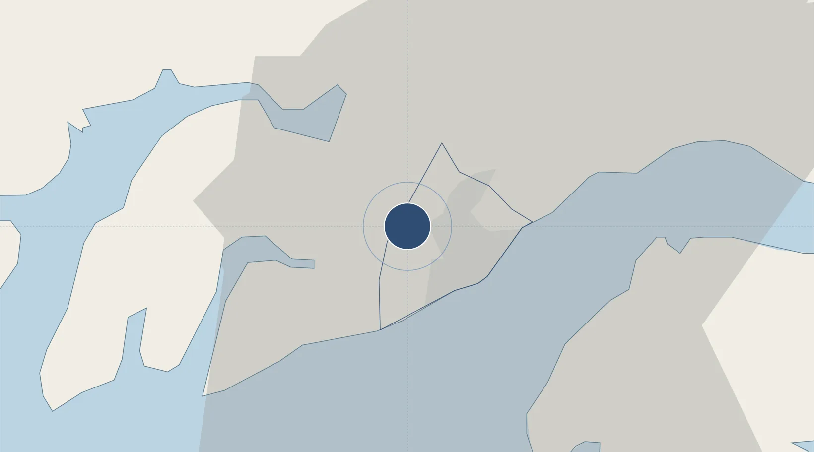
11.8943°, -15.6536°
10,499 ft
Longest runway
1
Runways
129 ft
Elevation

Runway & Layout

Osvaldo Vieira International Airport runway & taxiway layout
Runway & taxiway layout — OpenStreetMap (ODbL) / OurAirports

Radio Frequencies

TWR
124.3 MHz
APP
123.9 MHz
A/G
343.2 MHz
A/G VOICE RDO
OurAirports

Navaids

BIS VOR-DME Bissau/Oswaldo Vieira 114.30 MHz
BS NDB Bissau/Oswaldo Vieira 325 kHz
OurAirports

Runways · 1

RunwayDimensions SurfaceTrue headingLit
03/21 10,499 × 148ft Asphalt 019°
OurAirports

Airport Specifications

IATA code
OXB
OurAirports
ICAO code
GGOV
OurAirports
Airport class
Large airport
OurAirports
Scheduled service
Yes
OurAirports
Runway surface
Asphalt
OurAirports
Served city
Bissau
OurAirports

Location

Location of GGOV
Natural Earth 10m (public domain) · Bissau · GGOV · 11.89, -15.65GoogleOSMYandex

Nearby Logistics Neighbours

Airports
  1. 1Ziguinchor Airport101 km
  2. 2Cap Skirring Airport131 km
  3. 3Banjul International Airport194 km
  4. 4Kaolack Airport254 km
  5. 5Tambacounda Airport298 km
Nearest neighbours — logibook spatial index (haversine) over the source coordinates
Cities
  1. 1Bissau9 km
  2. 2Bolama40 km
  3. 3Canjaja64 km
  4. 4Cacheu68 km
  5. 5Binta69 km
Nearest neighbours — logibook spatial index (haversine) over the source coordinates
Ports
  1. 1Bissau4 km
  2. 2Rio Cacheu77 km
  3. 3Kamsar180 km
  4. 4Banjul199 km
  5. 5Lyndiane259 km
Nearest neighbours — logibook spatial index (haversine) over the source coordinates
Trade Zones
  1. 1Multi-Sectoral Special Economic Zone of Bissau9 km
  2. 2Bolama Free Zone37 km
  3. 3Bijagós Special Tourism Zone92 km
  4. 4Boké Special Economic Zone187 km
  5. 5Banjul Airport Export Processing Zone194 km
Nearest neighbours — logibook spatial index (haversine) over the source coordinates
DatabookThe Record of Consolidated Knowledge
Guinea-Bissau beyond logistics?
Browse databook

All Sources

AirportsOurAirports
Public domain
Portsthe NGA World Port Index
Public domain (US gov)
LocationsUN/LOCODE
UN/LOCODE — free
Trade Zonesthe World Bank SEZ database
CC BY 4.0
Trade ZonesOpen Zone Map
CC BY
InfrastructureOpenStreetMap
ODbL 1.0
← Guinea-Bissau airports