Seaport · Sierra Leone
FreetownSLFNA
8.5000°, -13.2333°
7.9 m
Channel depth
1
Container terminals
54.8
Port liner connectivity
Channel & Berth Profile
Pilotage, Tugs & Services
Pilotage compulsoryYES
Pilotage advisableYES
Local assistanceYES
Tug assistanceYES
Salvage tugsYES
Shore powerYES
Potable waterYES
Diesel bunkersYES
MedicalYES
Garbage disposalYES
Facilities & Capabilities
Container—
Ro-Ro—
Liquid bulk—
Dry bulk—
Oil terminal—
Break bulk—
Dry dock—
RepairsNO
BunkeringYES
Rail linkNO
Dangerous cargo—
ISPS security—
Harbour Specifications
Harbour size
Small
Harbour type
Coastal (Natural)
Shelter
Fair
Water body
North Atlantic Ocean
Tidal range
3 m
Pilotage
Yes
Liner Connectivity
54.8
PLSCI
Port Liner Shipping Connectivity Index for Freetown, as published by UNCTAD for the latest available quarter. Higher values indicate stronger scheduled liner-shipping integration.
Shown relative to the highest per-port PLSCI in the dataset (1,657.9).
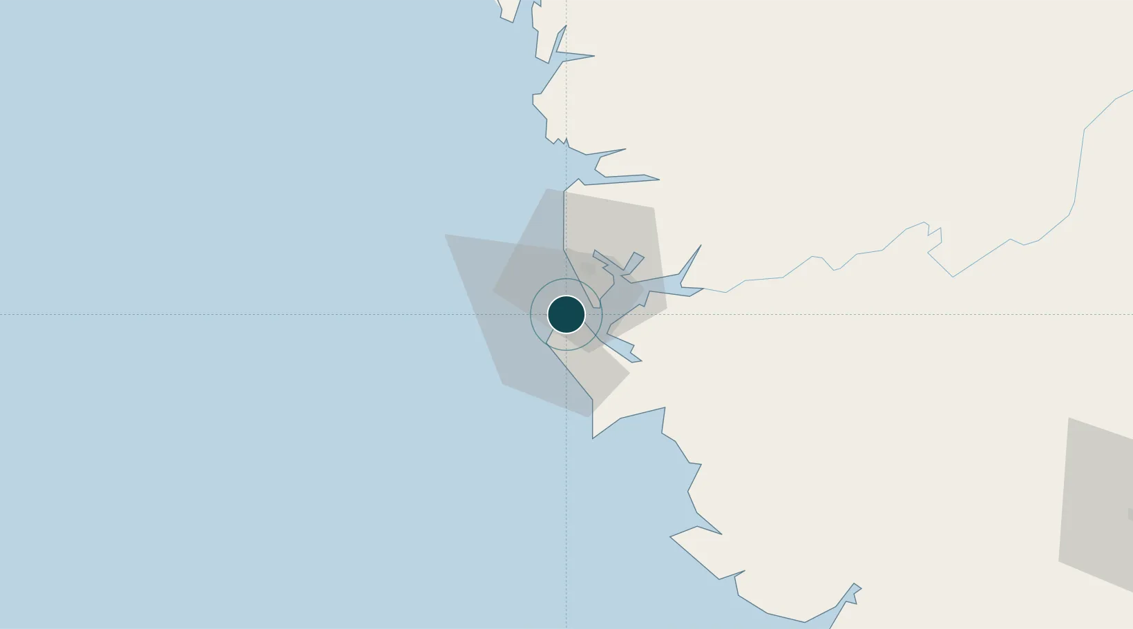
Location
Container Terminals · 1
FREETOWN TERMINAL
FTL FREETOWN TERMINAL LIMITED (FTL)
Nearby Logistics Neighbours
Cities
- 1Kissy7 km
- 2Conakry Eco122 km
- 3Conakry127 km
- 4Dubreka146 km
- 5Kindia177 km
Airports
- 1Lungi International Airport14 km
- 2Ahmed Sékou Touré International Airport127 km
- 3Bo Airport173 km
- 4Kenema Airport236 km
- 5Yengema Airport241 km
DatabookThe Record of Consolidated Knowledge
Sierra Leone beyond logistics?