Seaport · Guinea

ConakryGNCKY

9.5167°, -13.7167°
9.4 m
Channel depth
1
Container terminals
44.3
Port liner connectivity
Conakry is also a UN/LOCODE logistics hub →

Channel & Berth Profile

SEA LEVEL (CD)CHANNEL BEDCargo pier · 6.4 mOil terminal · 7.9 mChannel · 9.4 mAnchorage · 11.0 m
NGA World Port Index

Pilotage, Tugs & Services

Pilotage compulsoryYES
Pilotage availableYES
Pilotage advisableYES
Local assistanceYES
Tug assistanceYES
Shore powerNO
Potable waterYES
Diesel bunkersYES
MedicalYES
Garbage disposalYES
NGA World Port Index

Facilities & Capabilities

Container
Ro-Ro
Liquid bulk
Dry bulk
Oil terminal
Break bulk
Dry dockNO
RepairsNO
BunkeringYES
Rail linkYES
Dangerous cargo
ISPS security
NGA World Port Index

Harbour Specifications

Harbour size
Medium
NGA World Port Index
Harbour type
Coastal (Breakwater)
NGA World Port Index
Shelter
Good
NGA World Port Index
Water body
North Atlantic Ocean
NGA World Port Index
Tidal range
4 m
NGA World Port Index
Pilotage
Yes
NGA World Port Index

Liner Connectivity

44.3
PLSCI

Port Liner Shipping Connectivity Index for Conakry, as published by UNCTAD for the latest available quarter. Higher values indicate stronger scheduled liner-shipping integration.

Shown relative to the highest per-port PLSCI in the dataset (1,657.9).
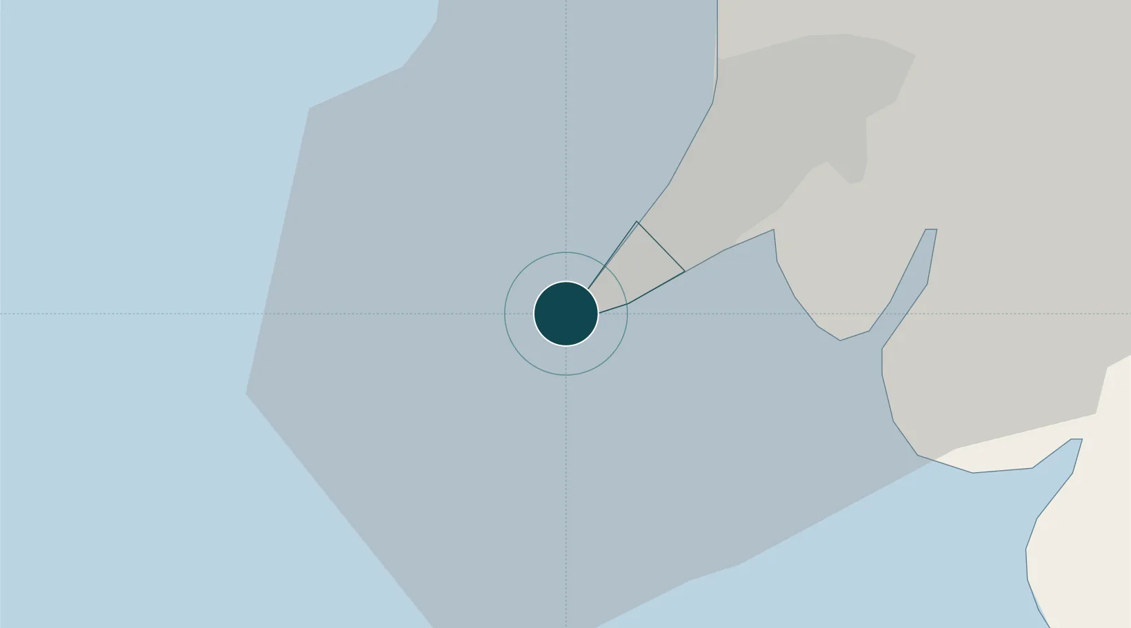
UNCTAD · Port Liner Shipping Connectivity Index

Location

Location of GNCKY
Natural Earth 10m (public domain) · Conakry · GNCKY · 9.52, -13.72GoogleOSMYandex

Container Terminals · 1

CONAKRY CONTAINER TERMINAL
CCT BOLLORE AFRICA LOGISTICS / APM TERMINALS
SMDG Terminal Code List

Nearby Logistics Neighbours

Ports
  1. 1Benti69 km
  2. 2Freetown125 km
  3. 3Pepel127 km
  4. 4Kamsar159 km
  5. 5Bonthe258 km
Nearest neighbours — logibook spatial index (haversine) over the source coordinates
Cities
  1. 1Conakry Eco3 km
  2. 2Dubreka38 km
  3. 3Boffa82 km
  4. 4Kindia112 km
  5. 5Bel-Air115 km
Nearest neighbours — logibook spatial index (haversine) over the source coordinates
Airports
  1. 1Ahmed Sékou Touré International Airport13 km
  2. 2Lungi International Airport115 km
  3. 3Bo Airport277 km
  4. 4Yengema Airport310 km
  5. 5Kenema Airport333 km
Nearest neighbours — logibook spatial index (haversine) over the source coordinates
Trade Zones
  1. 1New Koya City Aerotropolis (Airport City) and Economic Zone115 km
  2. 2Guoji Industry and Trade Zone127 km
  3. 3First Step Economic Opportunity Zone Newton153 km
  4. 4Boké Special Economic Zone165 km
  5. 5Bolama Free Zone303 km
Nearest neighbours — logibook spatial index (haversine) over the source coordinates
DatabookThe Record of Consolidated Knowledge
Guinea beyond logistics?
Browse databook

All Sources

Portsthe NGA World Port Index
Public domain (US gov)
Logistics performanceUNCTAD
CC BY 3.0 IGO
Portsthe SMDG Terminal Code List
UN/LOCODE — free, attribution
AirportsOurAirports
Public domain
LocationsUN/LOCODE
UN/LOCODE — free
Trade Zonesthe World Bank SEZ database
CC BY 4.0
Trade ZonesOpen Zone Map
CC BY
← Guinea ports