Seaport · Guinea-Bissau

Rio CacheuGWCAC

12.2833°, -16.2333°
3.4 m
Channel depth
Rio Cacheu is also a UN/LOCODE logistics hub →

Channel & Berth Profile

SEA LEVEL (CD)CHANNEL BEDCargo pier · 1.8 mChannel · 3.4 mAnchorage · 11.0 m
NGA World Port Index

Pilotage, Tugs & Services

Pilotage compulsoryYES
NGA World Port Index

Facilities & Capabilities

Container
Ro-Ro
Liquid bulk
Dry bulk
Oil terminal
Break bulk
Dry dock
RepairsNO
Bunkering
Rail link
Dangerous cargo
ISPS security
NGA World Port Index

Harbour Specifications
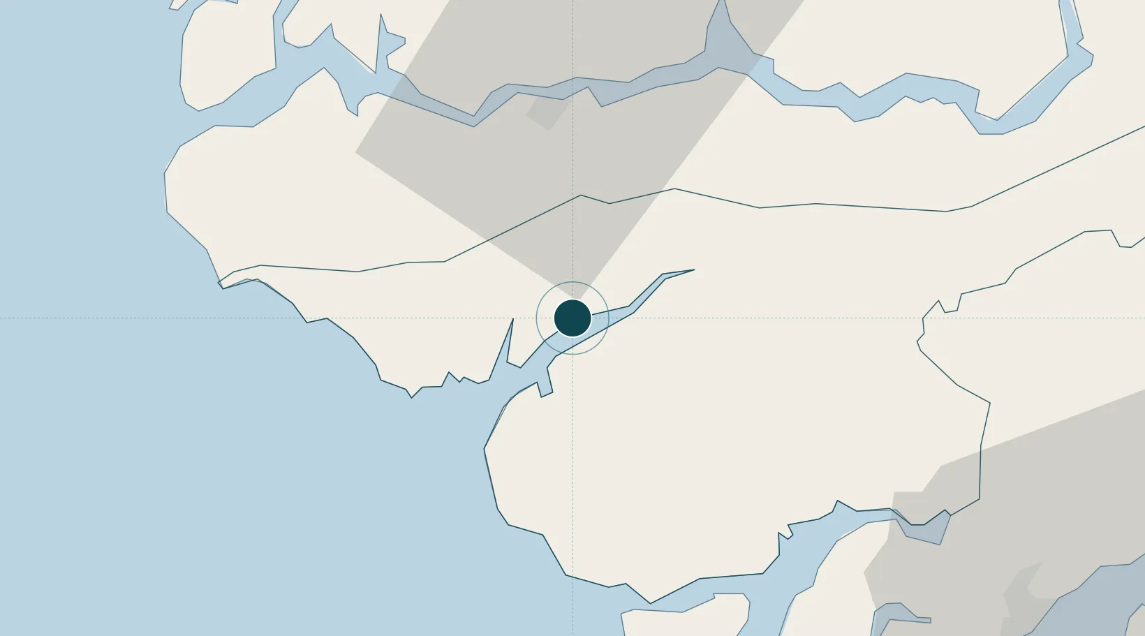
Harbour size
Very Small
NGA World Port Index
Harbour type
River (Natural)
NGA World Port Index
Shelter
Good
NGA World Port Index
Water body
North Atlantic Ocean
NGA World Port Index
Tidal range
2 m
NGA World Port Index
Pilotage
Yes
NGA World Port Index

Location

Location of GWCAC
Natural Earth 10m (public domain) · Cacheu · GWCAC · 12.28, -16.23GoogleOSMYandex

Nearby Logistics Neighbours

Ports
  1. 1Bissau80 km
  2. 2Banjul135 km
  3. 3Lyndiane210 km
  4. 4Kamsar254 km
  5. 5Rufisque292 km
Nearest neighbours — logibook spatial index (haversine) over the source coordinates
Cities
  1. 1San Francisco Libre25 km
  2. 2Ziguinchor34 km
  3. 3Bissau86 km
  4. 4Canjaja97 km
  5. 5Binta101 km
Nearest neighbours — logibook spatial index (haversine) over the source coordinates
Airports
  1. 1Ziguinchor Airport31 km
  2. 2Cap Skirring Airport57 km
  3. 3Osvaldo Vieira International Airport77 km
  4. 4Banjul International Airport126 km
  5. 5Kaolack Airport208 km
Nearest neighbours — logibook spatial index (haversine) over the source coordinates
Trade Zones
  1. 1Multi-Sectoral Special Economic Zone of Bissau85 km
  2. 2Bolama Free Zone110 km
  3. 3Banjul Airport Export Processing Zone126 km
  4. 4Bijagós Special Tourism Zone126 km
  5. 5GIETAF Special Economic Zone128 km
Nearest neighbours — logibook spatial index (haversine) over the source coordinates
DatabookThe Record of Consolidated Knowledge
Guinea-Bissau beyond logistics?
Browse databook

All Sources

Portsthe NGA World Port Index
Public domain (US gov)
AirportsOurAirports
Public domain
LocationsUN/LOCODE
UN/LOCODE — free
Trade Zonesthe World Bank SEZ database
CC BY 4.0
Trade ZonesOpen Zone Map
CC BY
← Guinea-Bissau ports