Export Processing Zone · Guinea-Bissau

Multi-Sectoral Special Economic Zone of Bissau Active
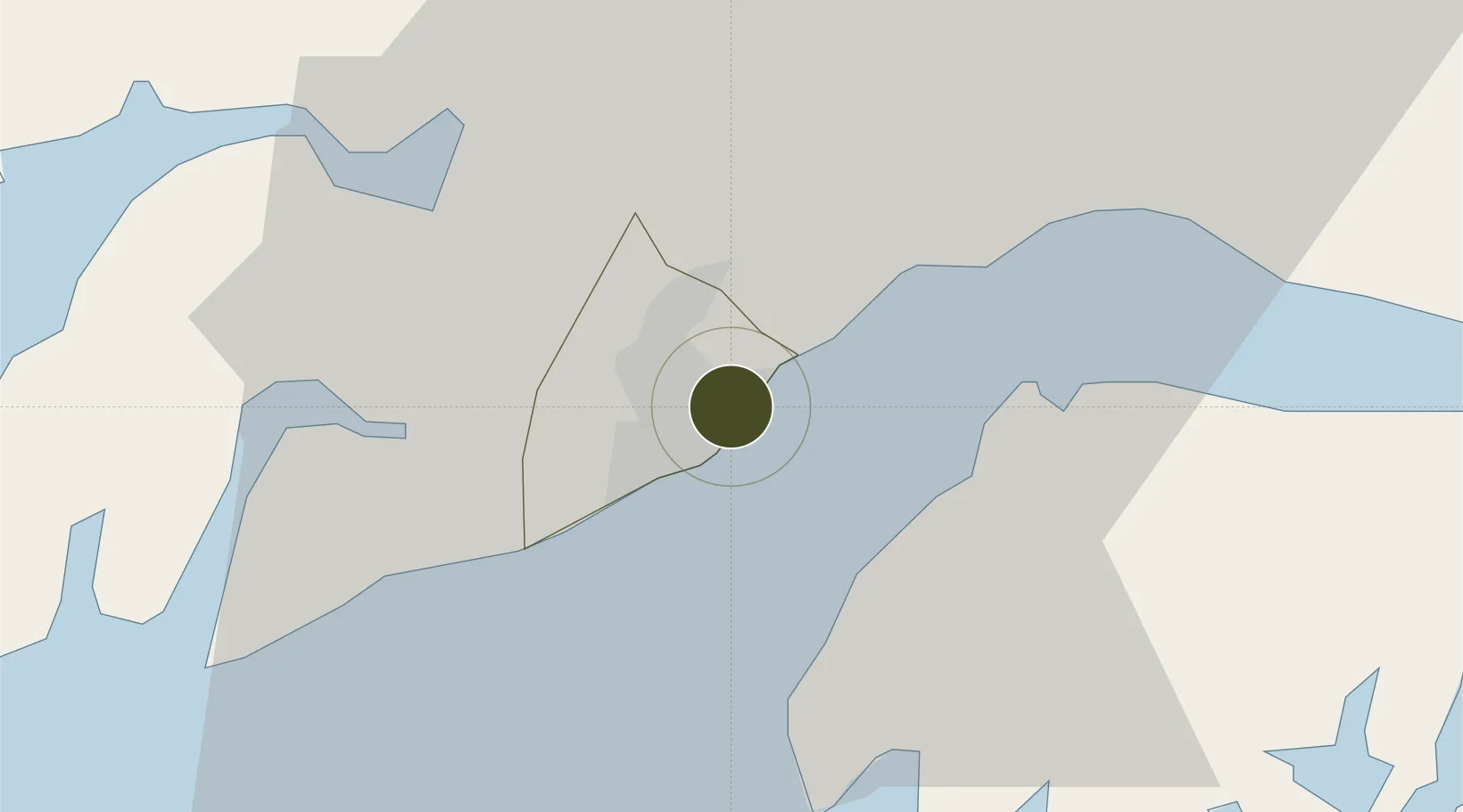
11.8731°, -15.5782°
80,000 ha
Zone area
6.0 km
Nearest port
8.5 km
Nearest airport

Gateway access

Nearest neighbours — logibook spatial index (haversine) over the source coordinates

Zone profile

Zone type
Export Processing Zone
Open Zone Map
Region
Bissau
Open Zone Map
Status
Active
Open Zone Map
Management
Public
Open Zone Map
Operator
Government of the Republic of Guinea-Bissau
Open Zone Map
Legal framework
Law No. 13/2011 of July 6
Open Zone Map

Location

Location of ozm-2060
Natural Earth 10m (public domain) · Bissau · ozm-2060 · 11.87, -15.58GoogleOSMYandex

Nearby Logistics Neighbours

Ports
  1. 1Bissau6 km
  2. 2Rio Cacheu85 km
  3. 3Kamsar173 km
  4. 4Banjul206 km
  5. 5Lyndiane263 km
Nearest neighbours — logibook spatial index (haversine) over the source coordinates
Airports
  1. 1Osvaldo Vieira International Airport9 km
  2. 2Ziguinchor Airport108 km
  3. 3Cap Skirring Airport140 km
  4. 4Banjul International Airport200 km
  5. 5Kaolack Airport258 km
Nearest neighbours — logibook spatial index (haversine) over the source coordinates
Cities
  1. 1Bissau3 km
  2. 2Bolama34 km
  3. 3Canjaja62 km
  4. 4Binta67 km
  5. 5Bubaque71 km
Nearest neighbours — logibook spatial index (haversine) over the source coordinates
Trade Zones
  1. 1Bolama Free Zone32 km
  2. 2Bijagós Special Tourism Zone94 km
  3. 3Boké Special Economic Zone179 km
  4. 4Banjul Airport Export Processing Zone201 km
  5. 5GIETAF Special Economic Zone202 km
Nearest neighbours — logibook spatial index (haversine) over the source coordinates
DatabookThe Record of Consolidated Knowledge
Guinea-Bissau beyond logistics?
Browse databook

All Sources

Trade ZonesOpen Zone Map
CC BY
Portsthe NGA World Port Index
Public domain (US gov)
AirportsOurAirports
Public domain
LocationsUN/LOCODE
UN/LOCODE — free
← Guinea-Bissau trade zones