Seaport · Guinea-Bissau
BissauGWOXB
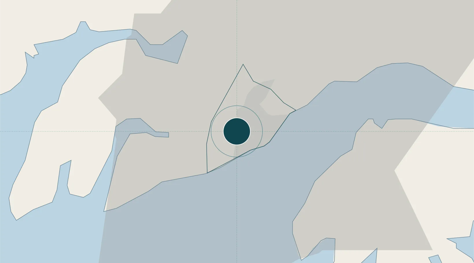
11.8667°, -15.6333°
11.0 m
Channel depth
1
Container terminals
28.9
Port liner connectivity
Channel & Berth Profile
Pilotage, Tugs & Services
Pilotage compulsoryYES
Pilotage availableYES
Pilotage advisableYES
Tug assistanceNO
Salvage tugsNO
Shore powerYES
Potable waterYES
Diesel bunkersYES
MedicalYES
Facilities & Capabilities
Container—
Ro-Ro—
Liquid bulk—
Dry bulk—
Oil terminal—
Break bulk—
Dry dock—
RepairsNO
Bunkering—
Rail link—
Dangerous cargo—
ISPS security—
Harbour Specifications
Harbour size
Very Small
Harbour type
River (Natural)
Shelter
Good
Water body
North Atlantic Ocean
Tidal range
6 m
Pilotage
Yes
Liner Connectivity
28.9
PLSCI
Port Liner Shipping Connectivity Index for Bissau, as published by UNCTAD for the latest available quarter. Higher values indicate stronger scheduled liner-shipping integration.
Shown relative to the highest per-port PLSCI in the dataset (1,657.9).
Location
Container Terminals · 1
BISSAU TERMINAL
BIST DIRECCAO NACIONAL DE MARINHA E PORTOS
Nearby Logistics Neighbours
Ports
- 1Rio Cacheu80 km
- 2Kamsar176 km
- 3Banjul203 km
- 4Lyndiane262 km
- 5Conakry335 km
Airports
- 1Osvaldo Vieira International Airport4 km
- 2Ziguinchor Airport104 km
- 3Cap Skirring Airport135 km
- 4Banjul International Airport198 km
- 5Kaolack Airport258 km
Trade Zones
DatabookThe Record of Consolidated Knowledge
Guinea-Bissau beyond logistics?