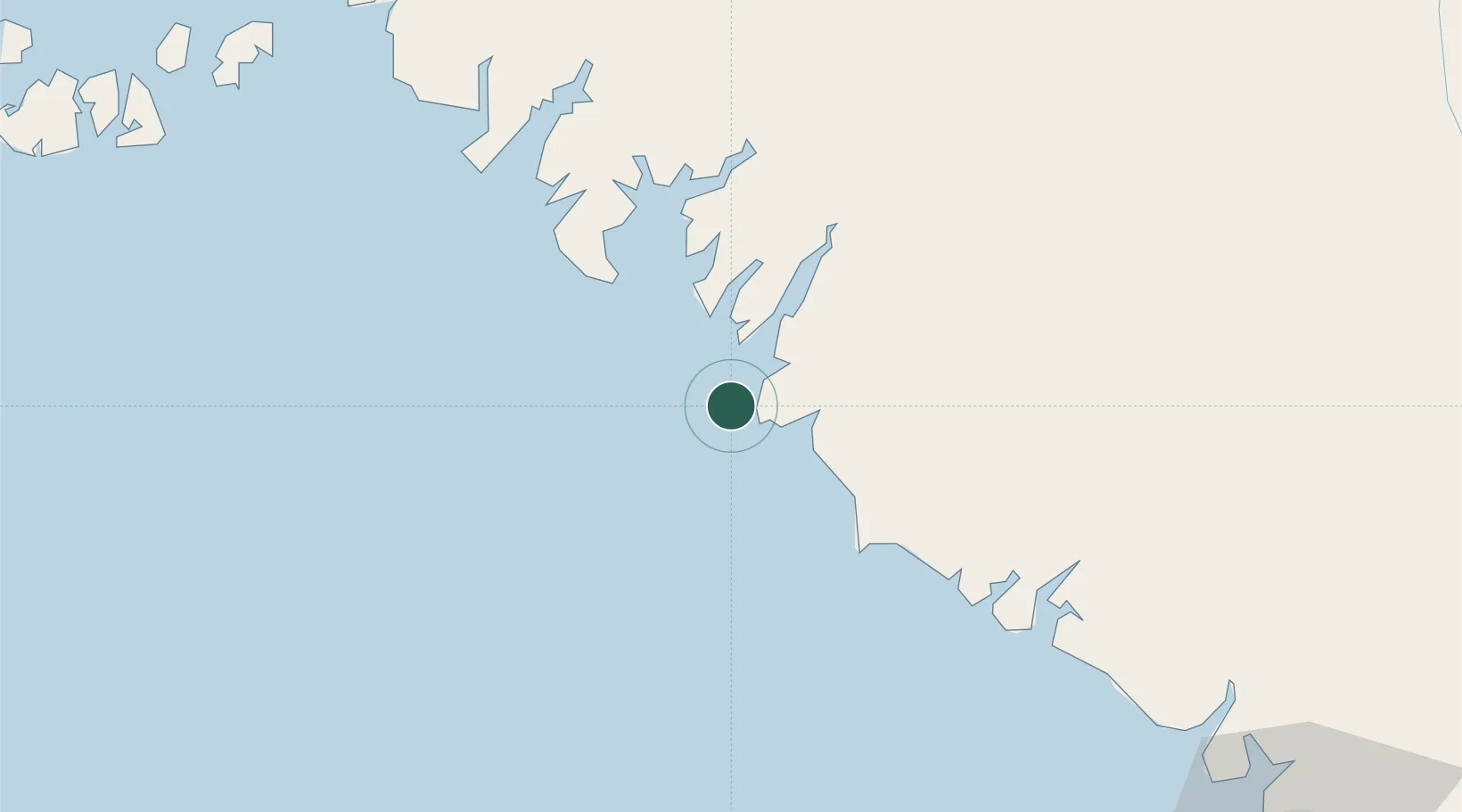
UN/LOCODE hub · Guinea
GNBRP

Port de Boké

10.5167°, -14.7167°
1
Transport functions

Transport Functions

Port
UN/LOCODE

Hub Profile

Region
BK
GeoNames

Location

Location of GNBRP
Natural Earth 10m (public domain) · BK · GNBRP · 10.52, -14.72GoogleOSMYandex

Nearby Logistics Neighbours

Cities
  1. 1Port-Kamsar18 km
  2. 2Kamsar22 km
  3. 3Dougoula32 km
  4. 4Bel-Air42 km
  5. 5Dapilon44 km
Nearest neighbours — logibook spatial index (haversine) over the source coordinates
Ports
  1. 1Kamsar17 km
  2. 2Conakry156 km
  3. 3Bissau180 km
  4. 4Benti224 km
  5. 5Rio Cacheu257 km
Nearest neighbours — logibook spatial index (haversine) over the source coordinates
Airports
  1. 1Ahmed Sékou Touré International Airport160 km
  2. 2Osvaldo Vieira International Airport184 km
  3. 3Lungi International Airport269 km
  4. 4Ziguinchor Airport284 km
  5. 5Cap Skirring Airport304 km
Nearest neighbours — logibook spatial index (haversine) over the source coordinates
Trade Zones
  1. 1Boké Special Economic Zone63 km
  2. 2Bolama Free Zone148 km
  3. 3Bijagós Special Tourism Zone162 km
  4. 4Multi-Sectoral Special Economic Zone of Bissau178 km
  5. 5New Koya City Aerotropolis (Airport City) and Economic Zone269 km
Nearest neighbours — logibook spatial index (haversine) over the source coordinates
DatabookThe Record of Consolidated Knowledge
Guinea beyond logistics?
Browse databook

All Sources

LocationsUN/LOCODE
UN/LOCODE — free
Portsthe NGA World Port Index
Public domain (US gov)
AirportsOurAirports
Public domain
Trade Zonesthe World Bank SEZ database
CC BY 4.0
Trade ZonesOpen Zone Map
CC BY
← Guinea locations