Transport Functions
Port
Rail
Road
Hub Profile
Region
BK
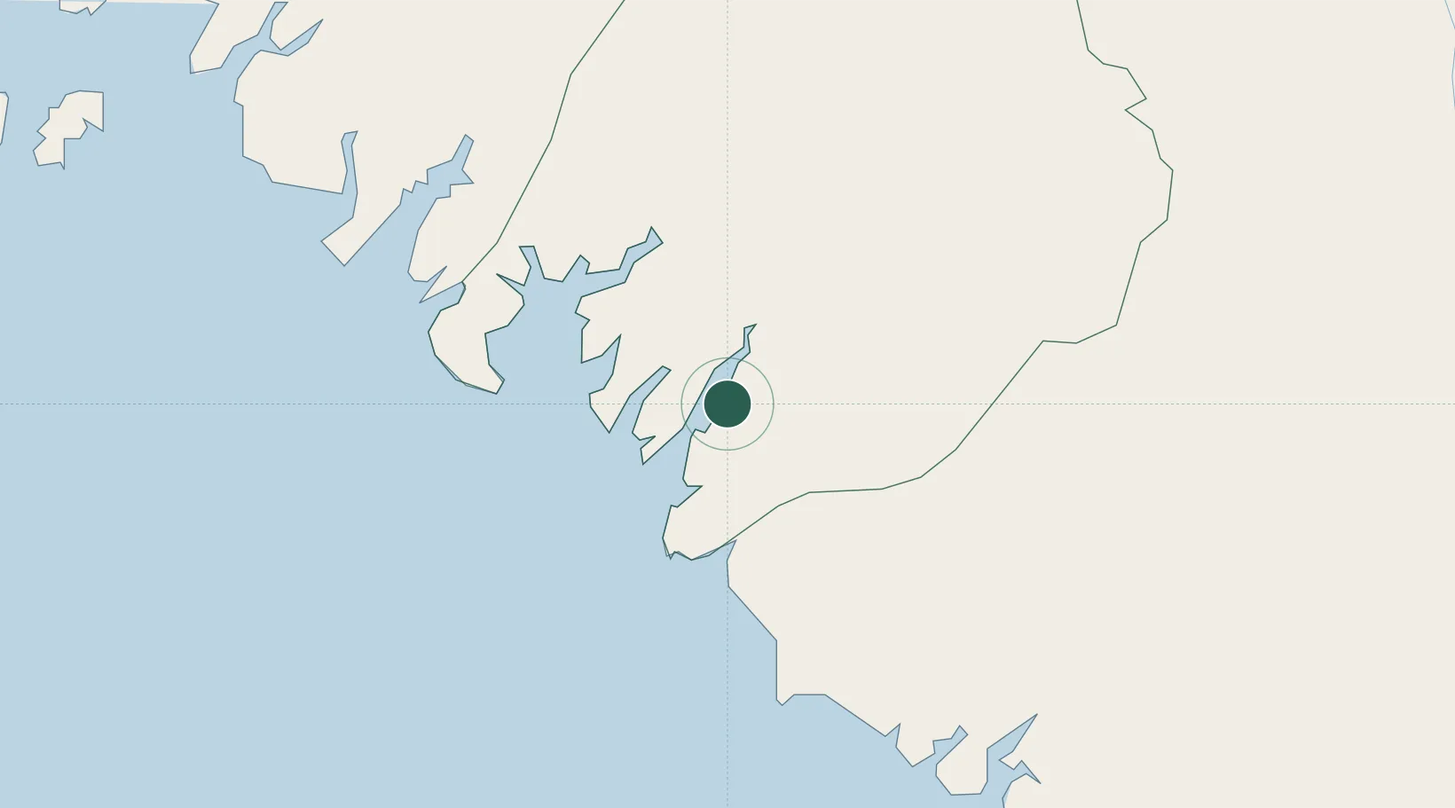
Location
Nearby Logistics Neighbours
Cities
- 1Kamsar10 km
- 2Dapilon12 km
- 3Port-Kamsar13 km
- 4Port de Boké32 km
- 5Bel-Air58 km
Ports
- 1Kamsar15 km
- 2Conakry165 km
- 3Bissau171 km
- 4Benti230 km
- 5Rio Cacheu250 km
Airports
- 1Ahmed Sékou Touré International Airport166 km
- 2Osvaldo Vieira International Airport175 km
- 3Ziguinchor Airport276 km
- 4Lungi International Airport280 km
- 5Cap Skirring Airport301 km
Trade Zones
DatabookThe Record of Consolidated Knowledge
Guinea beyond logistics?