Free Trade Zone · Guinea-Bissau

Bolama Free Zone Under Development
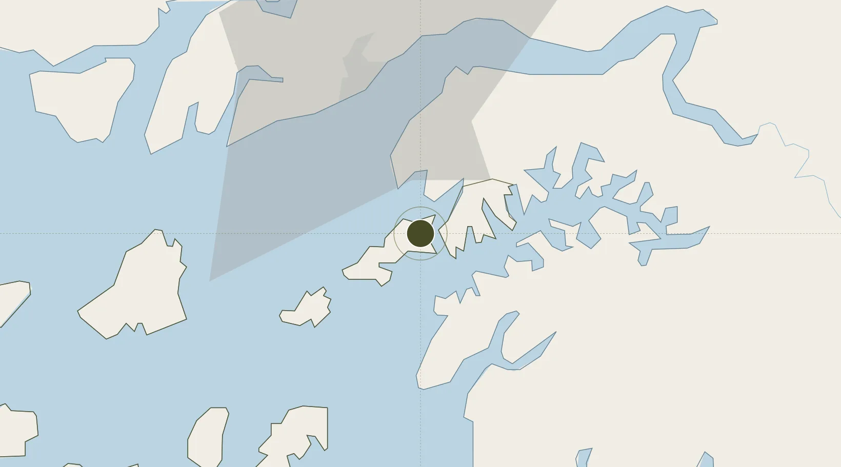
11.6000°, -15.4995°
24 ha
Zone area
33.0 km
Nearest port
36.8 km
Nearest airport

Gateway access

Nearest neighbours — logibook spatial index (haversine) over the source coordinates

Zone profile

Zone type
Free Trade Zone
Open Zone Map
Region
Bolama
Open Zone Map
Status
Under Development
Open Zone Map
Management
Public
Open Zone Map
Operator
Government of the Republic of Guinea-Bissau
Open Zone Map
Legal framework
Law No. 13/2011 of July 6
Open Zone Map

Location

Location of ozm-2061
Natural Earth 10m (public domain) · Bolama · ozm-2061 · 11.60, -15.50GoogleOSMYandex

Nearby Logistics Neighbours

Ports
  1. 1Bissau33 km
  2. 2Rio Cacheu110 km
  3. 3Kamsar144 km
  4. 4Banjul236 km
  5. 5Lyndiane294 km
Nearest neighbours — logibook spatial index (haversine) over the source coordinates
Airports
  1. 1Osvaldo Vieira International Airport37 km
  2. 2Ziguinchor Airport136 km
  3. 3Cap Skirring Airport162 km
  4. 4Banjul International Airport230 km
  5. 5Kaolack Airport290 km
Nearest neighbours — logibook spatial index (haversine) over the source coordinates
Cities
  1. 1Bolama4 km
  2. 2Bissau29 km
  3. 3Bubaque51 km
  4. 4Canjaja89 km
  5. 5Binta93 km
Nearest neighbours — logibook spatial index (haversine) over the source coordinates
Trade Zones
  1. 1Multi-Sectoral Special Economic Zone of Bissau32 km
  2. 2Bijagós Special Tourism Zone77 km
  3. 3Boké Special Economic Zone155 km
  4. 4Banjul Airport Export Processing Zone230 km
  5. 5GIETAF Special Economic Zone232 km
Nearest neighbours — logibook spatial index (haversine) over the source coordinates
DatabookThe Record of Consolidated Knowledge
Guinea-Bissau beyond logistics?
Browse databook

All Sources

Trade ZonesOpen Zone Map
CC BY
Portsthe NGA World Port Index
Public domain (US gov)
AirportsOurAirports
Public domain
LocationsUN/LOCODE
UN/LOCODE — free
← Guinea-Bissau trade zones