Economic Revitalization Project · Guinea-Bissau

Bijagós Special Tourism Zone Under Development
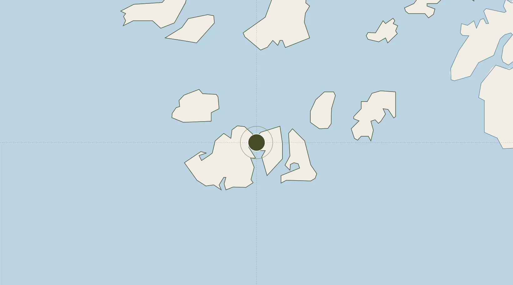
11.1614°, -16.0464°
54,000 ha
Zone area
90.4 km
Nearest port
92.0 km
Nearest airport

Gateway access

Nearest neighbours — logibook spatial index (haversine) over the source coordinates

Zone profile

Zone type
Economic Revitalization Project
Open Zone Map
Region
Bolama
Open Zone Map
Status
Under Development
Open Zone Map
Management
Public
Open Zone Map
Operator
Government of the Republic of Guinea-Bissau
Open Zone Map
Legal framework
Law No. 13/2011 of July 6
Open Zone Map

Location

Location of ozm-2059
Natural Earth 10m (public domain) · Bolama · ozm-2059 · 11.16, -16.05GoogleOSMYandex

Nearby Logistics Neighbours

Ports
  1. 1Bissau90 km
  2. 2Rio Cacheu126 km
  3. 3Kamsar167 km
  4. 4Banjul261 km
  5. 5Conakry314 km
Nearest neighbours — logibook spatial index (haversine) over the source coordinates
Airports
  1. 1Osvaldo Vieira International Airport92 km
  2. 2Cap Skirring Airport157 km
  3. 3Ziguinchor Airport157 km
  4. 4Banjul International Airport251 km
  5. 5Ahmed Sékou Touré International Airport319 km
Nearest neighbours — logibook spatial index (haversine) over the source coordinates
Cities
  1. 1Bubaque27 km
  2. 2Bolama79 km
  3. 3Bissau92 km
  4. 4Cacheu123 km
  5. 5San Francisco Libre151 km
Nearest neighbours — logibook spatial index (haversine) over the source coordinates
Trade Zones
  1. 1Bolama Free Zone77 km
  2. 2Multi-Sectoral Special Economic Zone of Bissau94 km
  3. 3Boké Special Economic Zone195 km
  4. 4Banjul Airport Export Processing Zone251 km
  5. 5GIETAF Special Economic Zone253 km
Nearest neighbours — logibook spatial index (haversine) over the source coordinates
DatabookThe Record of Consolidated Knowledge
Guinea-Bissau beyond logistics?
Browse databook

All Sources

Trade ZonesOpen Zone Map
CC BY
Portsthe NGA World Port Index
Public domain (US gov)
AirportsOurAirports
Public domain
LocationsUN/LOCODE
UN/LOCODE — free
← Guinea-Bissau trade zones