Seaport · Guinea

BentiGNBTY

9.1667°, -13.2000°
3.4 m
Channel depth

Channel & Berth Profile

SEA LEVEL (CD)CHANNEL BEDChannel · 3.4 mCargo pier · 11.0 mAnchorage · 14.0 m
NGA World Port Index

Pilotage, Tugs & Services

Pilotage compulsoryYES
Pilotage availableYES
Pilotage advisableYES
Local assistanceYES
NGA World Port Index

Facilities & Capabilities

Container
Ro-Ro
Liquid bulk
Dry bulk
Oil terminal
Break bulk
Dry dock
Repairs
Bunkering
Rail linkNO
Dangerous cargo
ISPS security
NGA World Port Index

Harbour Specifications
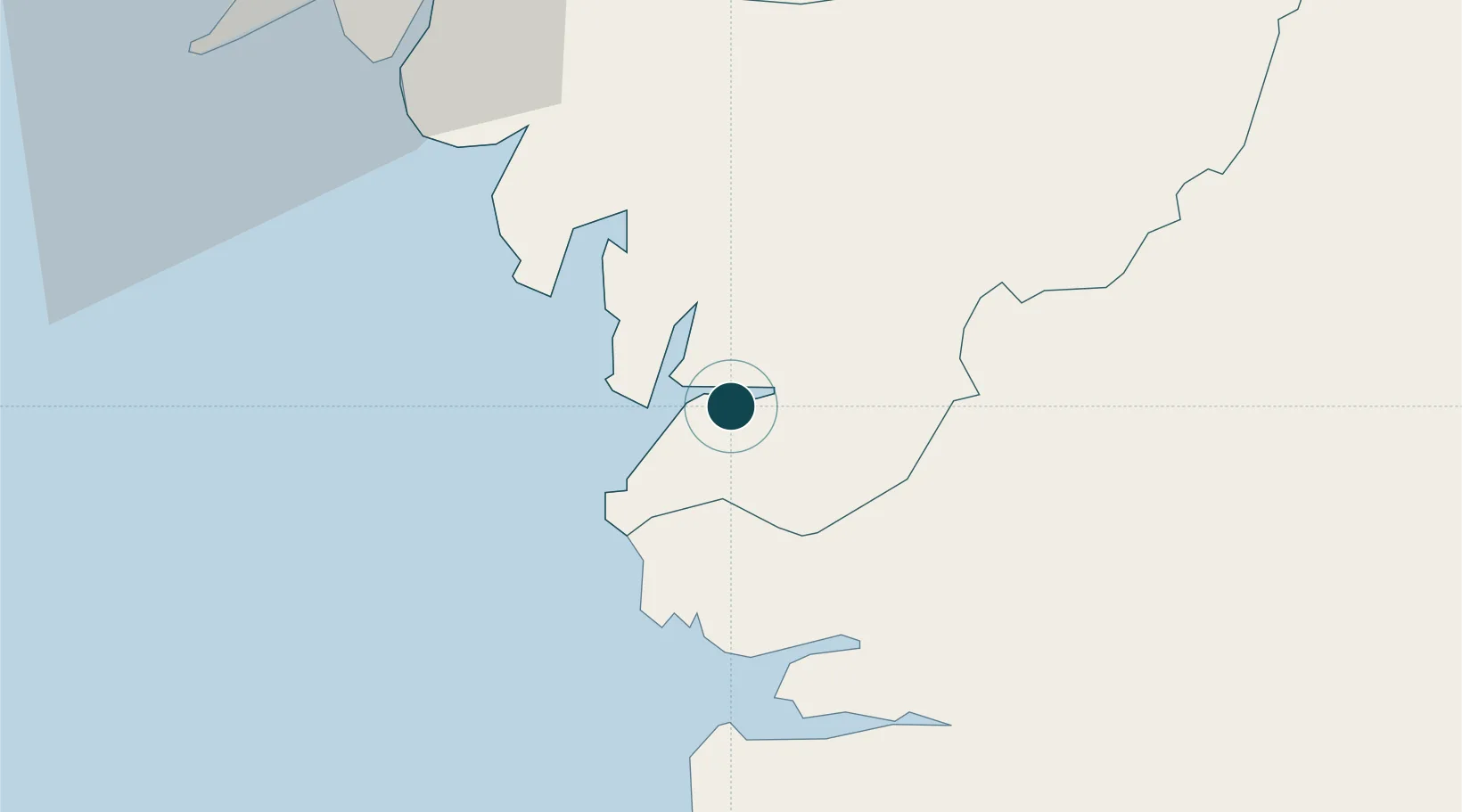
Harbour size
Very Small
NGA World Port Index
Harbour type
River (Natural)
NGA World Port Index
Shelter
Good
NGA World Port Index
Water body
North Atlantic Ocean
NGA World Port Index
Tidal range
3 m
NGA World Port Index
Pilotage
Yes
NGA World Port Index

Location

Location of GNBTY
Natural Earth 10m (public domain) · Forécariah · GNBTY · 9.17, -13.20GoogleOSMYandex

Nearby Logistics Neighbours

Ports
  1. 1Pepel67 km
  2. 2Conakry69 km
  3. 3Freetown74 km
  4. 4Bonthe197 km
  5. 5Kamsar225 km
Nearest neighbours — logibook spatial index (haversine) over the source coordinates
Cities
  1. 1Conakry Eco66 km
  2. 2Conakry67 km
  3. 3Dubreka76 km
  4. 4Freetown76 km
  5. 5Kissy78 km
Nearest neighbours — logibook spatial index (haversine) over the source coordinates
Airports
  1. 1Lungi International Airport61 km
  2. 2Ahmed Sékou Touré International Airport64 km
  3. 3Bo Airport209 km
  4. 4Yengema Airport245 km
  5. 5Kenema Airport264 km
Nearest neighbours — logibook spatial index (haversine) over the source coordinates
DatabookThe Record of Consolidated Knowledge
Guinea beyond logistics?
Browse databook

All Sources

Portsthe NGA World Port Index
Public domain (US gov)
AirportsOurAirports
Public domain
LocationsUN/LOCODE
UN/LOCODE — free
Trade Zonesthe World Bank SEZ database
CC BY 4.0
Trade ZonesOpen Zone Map
CC BY
← Guinea ports