Transport Functions
Port
Rail
Road
Airport
Multimodal
Hub Profile
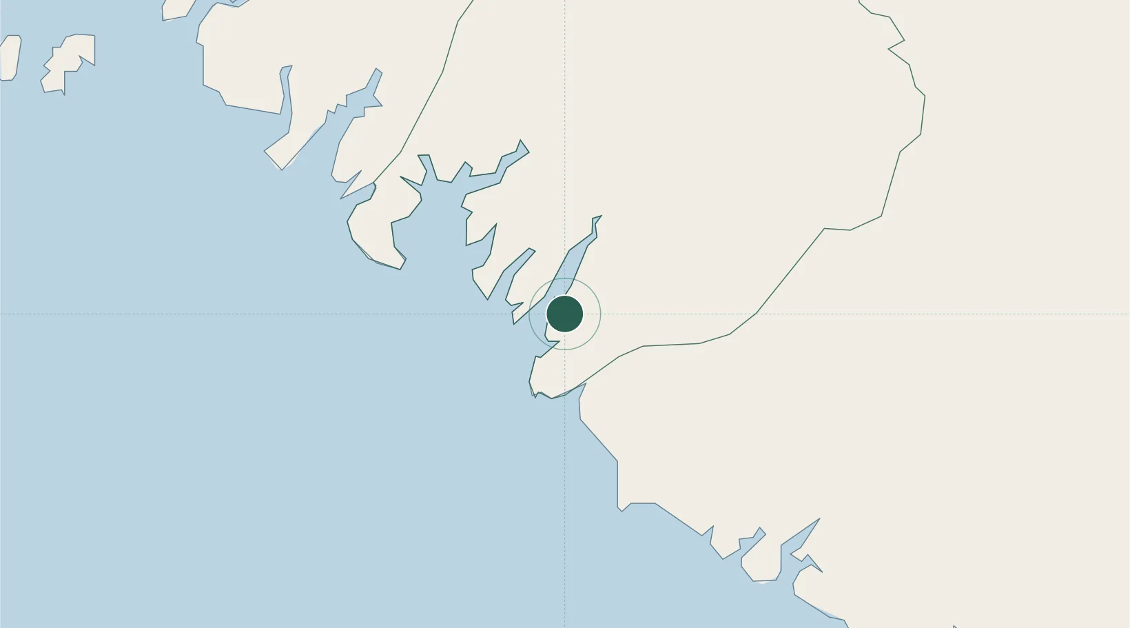
Place type
Populated place
Region
Boké Region
Population
113,350
Time zone
Africa/Conakry
Elevation
3 m
Location
Nearby Logistics Neighbours
Cities
- 1Port-Kamsar4 km
- 2Dougoula10 km
- 3Port de Boké22 km
- 4Dapilon22 km
- 5Bel-Air50 km
Ports
- 1Conakry159 km
- 2Bissau176 km
- 3Benti225 km
- 4Rio Cacheu254 km
- 5Freetown283 km
Airports
- 1Ahmed Sékou Touré International Airport161 km
- 2Osvaldo Vieira International Airport180 km
- 3Lungi International Airport274 km
- 4Ziguinchor Airport280 km
- 5Cap Skirring Airport304 km
Trade Zones
DatabookThe Record of Consolidated Knowledge
Guinea beyond logistics?