Channel & Berth Profile
Pilotage, Tugs & Services
Pilotage compulsoryNO
Pilotage availableYES
Tug assistanceNO
Salvage tugsNO
Potable waterYES
Diesel bunkersYES
Garbage disposalYES
Facilities & Capabilities
Container—
Ro-Ro—
Liquid bulk—
Dry bulk—
Oil terminal—
Break bulk—
Dry dock—
RepairsNO
Bunkering—
Rail linkYES
Dangerous cargo—
ISPS security—
Harbour Specifications
Harbour size
Very Small
Harbour type
Open Roadstead
Shelter
Poor
Water body
North Atlantic Ocean
Tidal range
4 m
Pilotage
No
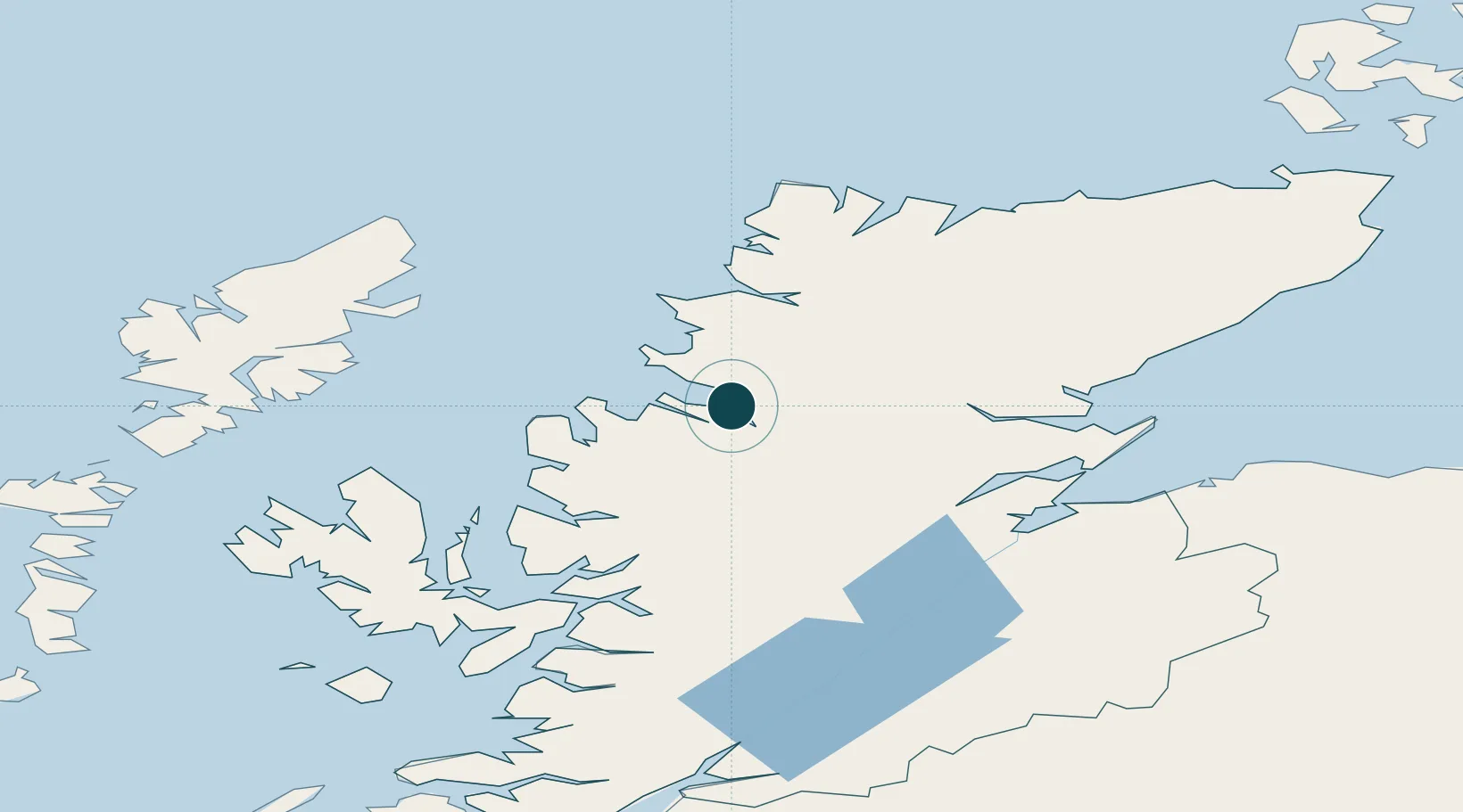
Location
Nearby Logistics Neighbours
Ports
- 1Aultbea27 km
- 2Gairloch38 km
- 3Invergordon63 km
- 4Plockton70 km
- 5Cromarty70 km
Cities
- 1Rhu Coigach - Badluachrach14 km
- 2Achiltibuie20 km
- 3Old Dornie22 km
- 4Aultbea26 km
- 5Lochinver28 km
Airports
- 1Inverness Airport77 km
- 2Stornoway Airport78 km
- 3RAF Lossiemouth110 km
- 4Wick John O'Groats Airport136 km
- 5Benbecula Airport140 km
Trade Zones
DatabookThe Record of Consolidated Knowledge
United Kingdom beyond logistics?