Transport Functions
Port
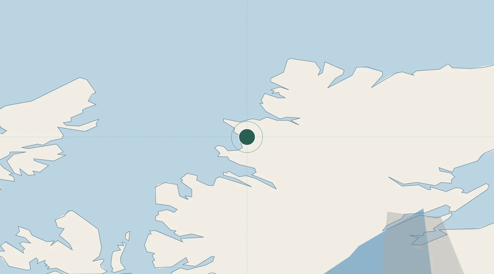
Hub Profile
Place type
Populated place
Region
Scotland
Time zone
Europe/London
Elevation
5 m
Location
Nearby Logistics Neighbours
Cities
- 1Culkein/Drumbeg11 km
- 2Culkein13 km
- 3Achiltibuie15 km
- 4Old Dornie16 km
- 5Kylesku18 km
Ports
- 1Ullapool28 km
- 2Aultbea40 km
- 3Gairloch55 km
- 4Stornoway Harbor66 km
- 5Invergordon82 km
Airports
- 1Stornoway Airport64 km
- 2Inverness Airport98 km
- 3RAF Lossiemouth123 km
- 4Wick John O'Groats Airport131 km
- 5Benbecula Airport146 km
Trade Zones
DatabookThe Record of Consolidated Knowledge
United Kingdom beyond logistics?