Medium airport · United Kingdom

Inverness AirportEGPE
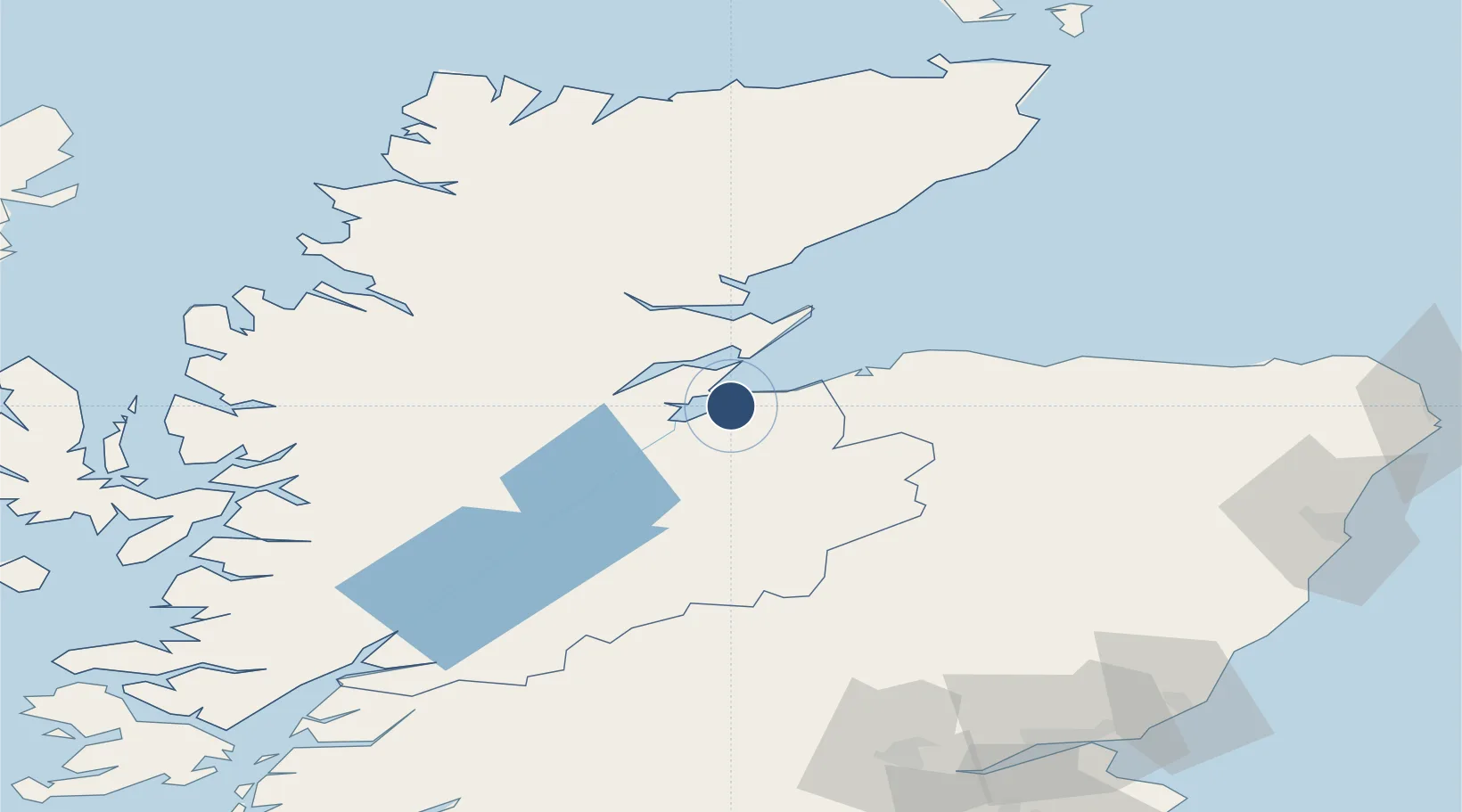
57.5425°, -4.0475°
6,194 ft
Longest runway
2
Runways
31 ft
Elevation

Runway & Layout

Inverness Airport runway & taxiway layout
Runway & taxiway layout — OpenStreetMap (ODbL) / OurAirports

Radio Frequencies

ATIS
109.2 MHz
TWR
118.405 MHz
Inverness Tower
TWR
122.605 MHz
TWR (when TWR/APP combined)
APP
122.605 MHz
RDR
122.605 MHz
OurAirports

Navaids

INS VOR-DME Inverness 109.20 MHz
IVR NDB Inverness 328 kHz
OurAirports

Runways · 2

RunwayDimensions SurfaceTrue headingLit
05/23 6,194 × 148ft Asphalt 049°
11/29 2,300 × 59ft Asphalt 110°
OurAirports

Airport Specifications

IATA code
INV
OurAirports
ICAO code
EGPE
OurAirports
Airport class
Medium airport
OurAirports
Scheduled service
Yes
OurAirports
Runway surface
Asphalt
OurAirports
Served city
Inverness
OurAirports

Location

Location of EGPE
Natural Earth 10m (public domain) · Highland · EGPE · 57.54, -4.05GoogleOSMYandex

Nearby Logistics Neighbours

Airports
  1. 1RAF Lossiemouth46 km
  2. 2Wick John O'Groats Airport116 km
  3. 3Aberdeen International Airport117 km
  4. 4Dundee Airport136 km
  5. 5Oban Airport145 km
Nearest neighbours — logibook spatial index (haversine) over the source coordinates
Cities
  1. 1Croy3 km
  2. 2Fortrose7 km
  3. 3Avoch7 km
  4. 4Rosemarkie8 km
  5. 5Nairn11 km
Nearest neighbours — logibook spatial index (haversine) over the source coordinates
Ports
  1. 1Inverness13 km
  2. 2Cromarty16 km
  3. 3Invergordon17 km
  4. 4Portmahomack Harbor35 km
  5. 5Burghead37 km
Nearest neighbours — logibook spatial index (haversine) over the source coordinates
Trade Zones
  1. 1Prestwick Airport Free Zone229 km
  2. 2Carlisle Kingmoor Park Enterprise Zone298 km
  3. 3North Eastern Enterprise Zone323 km
  4. 4Tees Valley Enterprise Zone372 km
  5. 5Isle of Man Free Zone and Business Park385 km
Nearest neighbours — logibook spatial index (haversine) over the source coordinates
DatabookThe Record of Consolidated Knowledge
United Kingdom beyond logistics?
Browse databook

All Sources

AirportsOurAirports
Public domain
Portsthe NGA World Port Index
Public domain (US gov)
LocationsUN/LOCODE
UN/LOCODE — free
Trade Zonesthe World Bank SEZ database
CC BY 4.0
Trade ZonesOpen Zone Map
CC BY
InfrastructureOpenStreetMap
ODbL 1.0
← United Kingdom airports