Seaport · United Kingdom

PlocktonGBPLO

57.3333°, -5.6500°
4.9 m
Channel depth
Plockton is also a UN/LOCODE logistics hub →

Channel & Berth Profile

SEA LEVEL (CD)CHANNEL BEDAnchorage · 3.4 mChannel · 4.9 m
NGA World Port Index

Pilotage, Tugs & Services

Pilotage availableYES
Local assistanceYES
Potable waterYES
NGA World Port Index

Facilities & Capabilities

Container
Ro-Ro
Liquid bulk
Dry bulk
Oil terminal
Break bulk
Dry dock
RepairsNO
Bunkering
Rail linkYES
Dangerous cargo
ISPS security
NGA World Port Index

Harbour Specifications

Harbour size
Very Small
NGA World Port Index
Harbour type
Coastal (Natural)
NGA World Port Index
Shelter
Fair
NGA World Port Index
Water body
North Atlantic Ocean
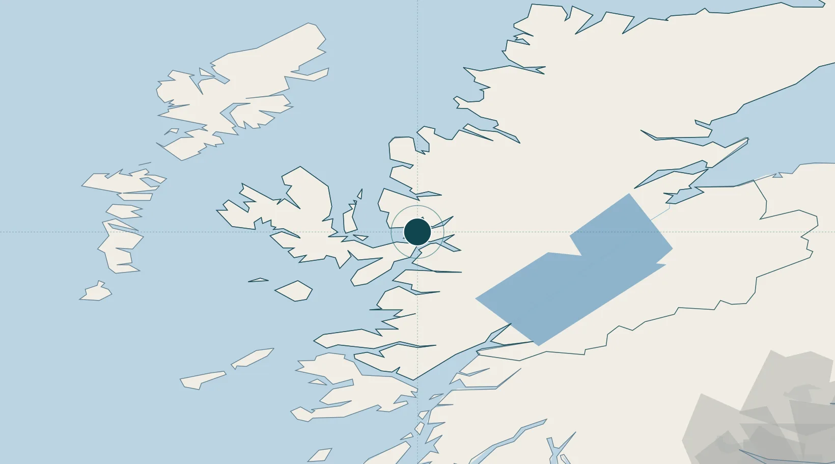
NGA World Port Index

Location

Location of GBPLO
Natural Earth 10m (public domain) · Highland · GBPLO · 57.33, -5.65GoogleOSMYandex

Nearby Logistics Neighbours

Ports
  1. 1Kyle Of Lochalsh7 km
  2. 2Kyleakin9 km
  3. 3Broadford Bay17 km
  4. 4Portree Harbor34 km
  5. 5Mallaig38 km
Nearest neighbours — logibook spatial index (haversine) over the source coordinates
Cities
  1. 1Balmacara6 km
  2. 2Stromeferry7 km
  3. 3Carron8 km
  4. 4Kishorn8 km
  5. 5Kyle of Lochalsh8 km
Nearest neighbours — logibook spatial index (haversine) over the source coordinates
Airports
  1. 1Oban Airport98 km
  2. 2Inverness Airport99 km
  3. 3Coll Airport100 km
  4. 4Benbecula Airport104 km
  5. 5Stornoway Airport106 km
Nearest neighbours — logibook spatial index (haversine) over the source coordinates
Trade Zones
  1. 1Prestwick Airport Free Zone213 km
  2. 2Carlisle Kingmoor Park Enterprise Zone314 km
  3. 3North Eastern Enterprise Zone363 km
  4. 4Isle of Man Free Zone and Business Park366 km
  5. 5Tees Valley Enterprise Zone412 km
Nearest neighbours — logibook spatial index (haversine) over the source coordinates
DatabookThe Record of Consolidated Knowledge
United Kingdom beyond logistics?
Browse databook

All Sources

Portsthe NGA World Port Index
Public domain (US gov)
AirportsOurAirports
Public domain
LocationsUN/LOCODE
UN/LOCODE — free
Trade Zonesthe World Bank SEZ database
CC BY 4.0
Trade ZonesOpen Zone Map
CC BY
← United Kingdom ports