Economic Revitalization Project · United Kingdom

Tees Valley Enterprise Zone Active
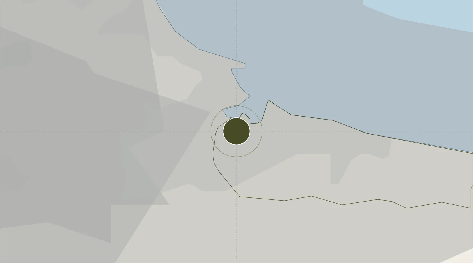
54.6008°, -1.1850°
460 ha
Zone area
6.4 km
Nearest port
18.8 km
Nearest airport

Gateway access

Nearest neighbours — logibook spatial index (haversine) over the source coordinates

Zone profile

Zone type
Economic Revitalization Project
Open Zone Map
Region
Redcar and Cleveland
Open Zone Map
Status
Active
Open Zone Map
Management
Public-Private Partnership
Open Zone Map
Operator
Tees Valley Unlimited LEP
Open Zone Map
Legal framework
Local Government, Planning and Land Act 1980
Open Zone Map

Location

Location of ozm-4709
Natural Earth 10m (public domain) · Redcar and Cleveland · ozm-4709 · 54.60, -1.19GoogleOSMYandex

Nearby Logistics Neighbours

Ports
  1. 1Teesport6 km
  2. 2Hartlepool11 km
  3. 3Seaham27 km
  4. 4Sunderland37 km
  5. 5Whitby39 km
Nearest neighbours — logibook spatial index (haversine) over the source coordinates
Airports
  1. 1Teesside International Airport19 km
  2. 2RAF Leeming41 km
  3. 3RAF Topcliffe46 km
  4. 4Newcastle International Airport58 km
  5. 5Leeds East Airport85 km
Nearest neighbours — logibook spatial index (haversine) over the source coordinates
Cities
  1. 1Teesport2 km
  2. 2Middlesbrough2 km
  3. 3Port Clarence4 km
  4. 4Greatham5 km
  5. 5Seal Sands5 km
Nearest neighbours — logibook spatial index (haversine) over the source coordinates
Trade Zones
  1. 1North Eastern Enterprise Zone49 km
  2. 2York Central Enterprise Zone72 km
  3. 3Aire Valley Leeds Enterprise Zone94 km
  4. 4Humberside Free Zone108 km
  5. 5Humber Enterprise Zone111 km
Nearest neighbours — logibook spatial index (haversine) over the source coordinates
DatabookThe Record of Consolidated Knowledge
United Kingdom beyond logistics?
Browse databook

All Sources

Trade ZonesOpen Zone Map
CC BY
Portsthe NGA World Port Index
Public domain (US gov)
AirportsOurAirports
Public domain
LocationsUN/LOCODE
UN/LOCODE — free
← United Kingdom trade zones