Medium airport · United Kingdom

Stornoway AirportEGPO
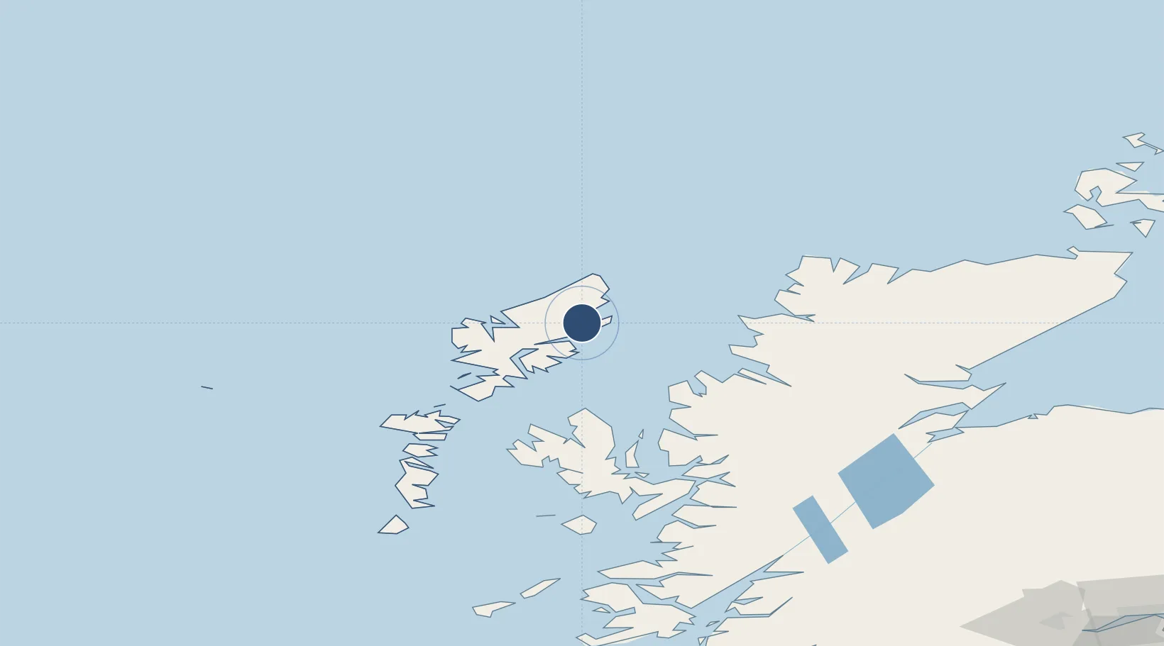
58.2156°, -6.3311°
7,218 ft
Longest runway
2
Runways
26 ft
Elevation

Runway & Layout

Stornoway Airport runway & taxiway layout
Runway & taxiway layout — OpenStreetMap (ODbL) / OurAirports

Radio Frequencies

ATIS
115.1 MHz
TWR
119.48 MHz
APP
119.48 MHz
AFIS
119.48 MHz
OurAirports

Navaids

SAY NDB-DME Stornoway 0.43 MHz
STN VOR-DME Stornoway 115.10 MHz
OurAirports

Runways · 2

RunwayDimensions SurfaceTrue headingLit
18/36 7,218 × 151ft Asphalt 174°
06/24 3,281 × 75ft Asphalt 060°
OurAirports

Airport Specifications

IATA code
SYY
OurAirports
ICAO code
EGPO
OurAirports
Airport class
Medium airport
OurAirports
Scheduled service
Yes
OurAirports
Runway surface
Asphalt
OurAirports
Served city
Stornoway, Western Isles
OurAirports

Location

Location of EGPO
Natural Earth 10m (public domain) · Eilean Siar · EGPO · 58.22, -6.33GoogleOSMYandex

Nearby Logistics Neighbours

Airports
  1. 1Benbecula Airport102 km
  2. 2Barra Airport148 km
  3. 3Inverness Airport154 km
  4. 4Coll Airport180 km
  5. 5RAF Lossiemouth185 km
Nearest neighbours — logibook spatial index (haversine) over the source coordinates
Cities
  1. 1Stornoway2 km
  2. 2Garrabost6 km
  3. 3Back6 km
  4. 4North Lochs16 km
  5. 5Lochs16 km
Nearest neighbours — logibook spatial index (haversine) over the source coordinates
Ports
  1. 1Stornoway Harbor4 km
  2. 2Tarbert45 km
  3. 3Aultbea61 km
  4. 4Gairloch67 km
  5. 5Uig70 km
Nearest neighbours — logibook spatial index (haversine) over the source coordinates
Trade Zones
  1. 1Prestwick Airport Free Zone319 km
  2. 2Carlisle Kingmoor Park Enterprise Zone419 km
  3. 3North Eastern Enterprise Zone462 km
  4. 4Isle of Man Free Zone and Business Park471 km
  5. 5Tees Valley Enterprise Zone511 km
Nearest neighbours — logibook spatial index (haversine) over the source coordinates
DatabookThe Record of Consolidated Knowledge
United Kingdom beyond logistics?
Browse databook

All Sources

AirportsOurAirports
Public domain
Portsthe NGA World Port Index
Public domain (US gov)
LocationsUN/LOCODE
UN/LOCODE — free
Trade Zonesthe World Bank SEZ database
CC BY 4.0
Trade ZonesOpen Zone Map
CC BY
InfrastructureOpenStreetMap
ODbL 1.0
← United Kingdom airports