Transport Functions
Port
Road
Hub Profile
Place type
Populated place
Region
Scotland
Time zone
Europe/London
Elevation
6 m
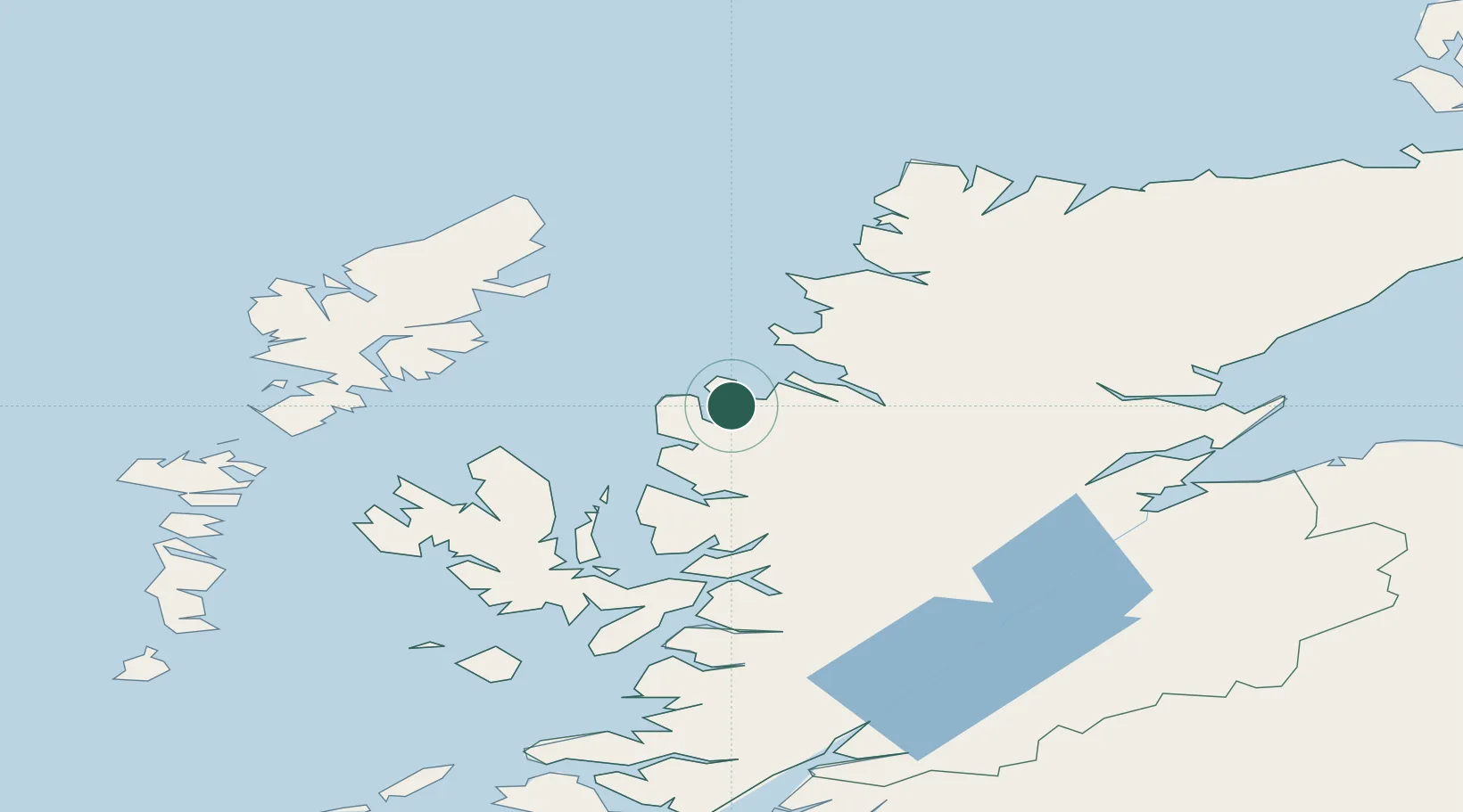
Location
Nearby Logistics Neighbours
Cities
- 1Poolewe10 km
- 2Rhu Coigach - Badluachrach12 km
- 3Gairloch16 km
- 4Old Dornie24 km
- 5Ullapool25 km
Ports
- 1Gairloch15 km
- 2Ullapool26 km
- 3Uig54 km
- 4Plockton56 km
- 5Portree Harbor60 km
Airports
- 1Stornoway Airport62 km
- 2Inverness Airport96 km
- 3Benbecula Airport114 km
- 4RAF Lossiemouth133 km
- 5Barra Airport144 km
Trade Zones
DatabookThe Record of Consolidated Knowledge
United Kingdom beyond logistics?