UN/LOCODE hub · United Kingdom
GBULL
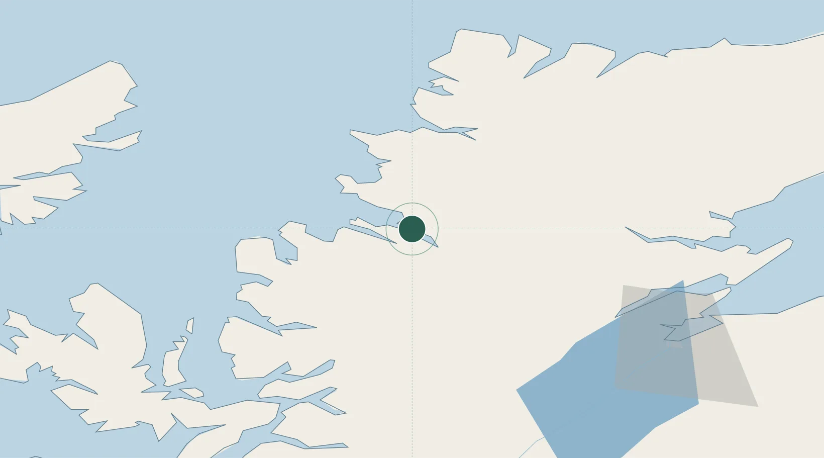
Ullapool
57.9000°, -5.1667°
1,510
Population
1
Transport functions
Transport Functions
Port
Hub Profile
Place type
Populated place
Region
Scotland
Population
1,510
Time zone
Europe/London
Elevation
16 m
Location
Nearby Logistics Neighbours
Cities
- 1Rhu Coigach - Badluachrach13 km
- 2Achiltibuie19 km
- 3Old Dornie21 km
- 4Aultbea25 km
- 5Lochinver28 km
Ports
- 1Aultbea26 km
- 2Gairloch37 km
- 3Invergordon64 km
- 4Plockton69 km
- 5Cromarty71 km
Airports
- 1Stornoway Airport77 km
- 2Inverness Airport77 km
- 3RAF Lossiemouth110 km
- 4Wick John O'Groats Airport137 km
- 5Benbecula Airport139 km
Trade Zones
DatabookThe Record of Consolidated Knowledge
United Kingdom beyond logistics?