Channel & Berth Profile
Pilotage, Tugs & Services
Pilotage compulsoryYES
Pilotage availableYES
Pilotage advisableYES
Tug assistanceYES
Salvage tugsYES
Potable waterYES
Diesel bunkersYES
MedicalYES
Garbage disposalYES
Facilities & Capabilities
Container—
Ro-Ro—
Liquid bulk—
Dry bulk—
Oil terminal—
Break bulk—
Dry dock—
RepairsNO
BunkeringYES
Rail linkYES
Dangerous cargo—
ISPS security—
Harbour Specifications
Harbour size
Small
Harbour type
Open Roadstead
Shelter
Fair
Water body
North Sea; North Atlantic Ocean
Tidal range
4 m
Pilotage
Yes
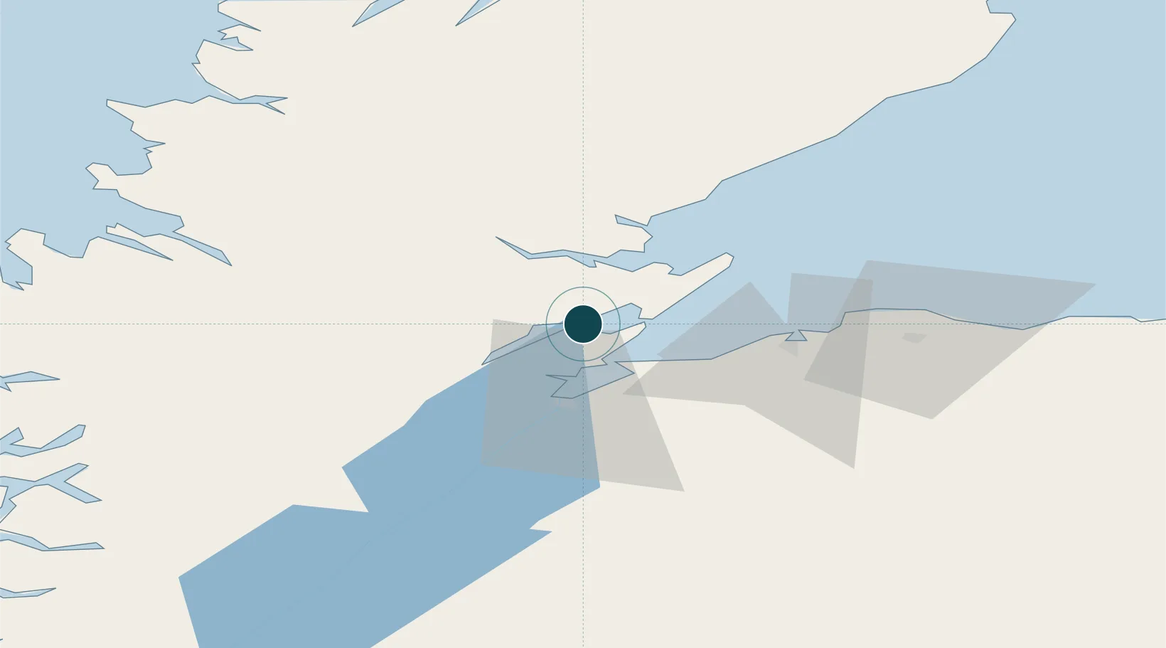
Location
Nearby Logistics Neighbours
Ports
- 1Cromarty8 km
- 2Inverness23 km
- 3Portmahomack Harbor26 km
- 4Burghead40 km
- 5Lossiemouth53 km
Cities
- 1Alness5 km
- 2Evanton8 km
- 3Cromarty8 km
- 4Rosemarkie10 km
- 5Nigg11 km
Airports
- 1Inverness Airport17 km
- 2RAF Lossiemouth49 km
- 3Wick John O'Groats Airport107 km
- 4Aberdeen International Airport129 km
- 5Stornoway Airport141 km
Trade Zones
DatabookThe Record of Consolidated Knowledge
United Kingdom beyond logistics?