UN/LOCODE hub · United Kingdom
GBODO

Old Dornie

58.0333°, -5.4167°
2
Transport functions

Transport Functions

Port
Road
UN/LOCODE

Hub Profile

Region
HLD
GeoNames

Location

Location of GBODO
Natural Earth 10m (public domain) · HLD · GBODO · 58.03, -5.42GoogleOSMYandex

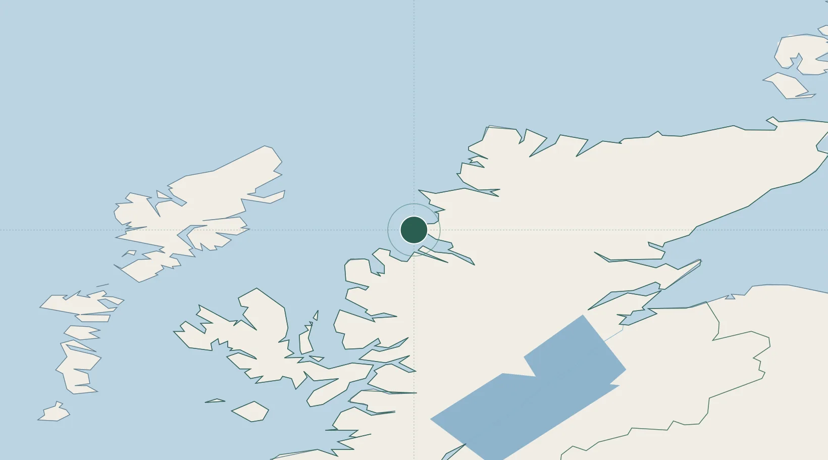
Nearby Logistics Neighbours

Cities
  1. 1Achiltibuie3 km
  2. 2Lochinver16 km
  3. 3Rhu Coigach - Badluachrach17 km
  4. 4Ullapool21 km
  5. 5Culkein/Drumbeg23 km
Nearest neighbours — logibook spatial index (haversine) over the source coordinates
Ports
  1. 1Ullapool22 km
  2. 2Aultbea24 km
  3. 3Gairloch39 km
  4. 4Stornoway Harbor58 km
  5. 5Uig75 km
Nearest neighbours — logibook spatial index (haversine) over the source coordinates
Airports
  1. 1Stornoway Airport57 km
  2. 2Inverness Airport98 km
  3. 3RAF Lossiemouth128 km
  4. 4Benbecula Airport131 km
  5. 5Wick John O'Groats Airport144 km
Nearest neighbours — logibook spatial index (haversine) over the source coordinates
Trade Zones
  1. 1Prestwick Airport Free Zone285 km
  2. 2Carlisle Kingmoor Park Enterprise Zone376 km
  3. 3North Eastern Enterprise Zone413 km
  4. 4Isle of Man Free Zone and Business Park441 km
  5. 5Tees Valley Enterprise Zone462 km
Nearest neighbours — logibook spatial index (haversine) over the source coordinates
DatabookThe Record of Consolidated Knowledge
United Kingdom beyond logistics?
Browse databook

All Sources

LocationsUN/LOCODE
UN/LOCODE — free
Portsthe NGA World Port Index
Public domain (US gov)
AirportsOurAirports
Public domain
Trade Zonesthe World Bank SEZ database
CC BY 4.0
Trade ZonesOpen Zone Map
CC BY
← United Kingdom locations