Channel & Berth Profile
Pilotage, Tugs & Services
Pilotage compulsoryYES
Pilotage availableYES
Pilotage advisableYES
Tug assistanceYES
Salvage tugsYES
Potable waterYES
MedicalYES
Garbage disposalYES
Facilities & Capabilities
Container—
Ro-RoYES
Liquid bulkYES
Dry bulkYES
Oil terminalYES
Break bulkYES
Dry dockNO
RepairsNO
BunkeringYES
Rail link—
Dangerous cargo—
ISPS securityYES
Harbour Specifications
Harbour size
Small
Harbour type
Coastal (Breakwater)
Shelter
Good
Water body
North Sea; North Atlantic Ocean
Tidal range
4 m
Overhead limit
Yes
Pilotage
Yes
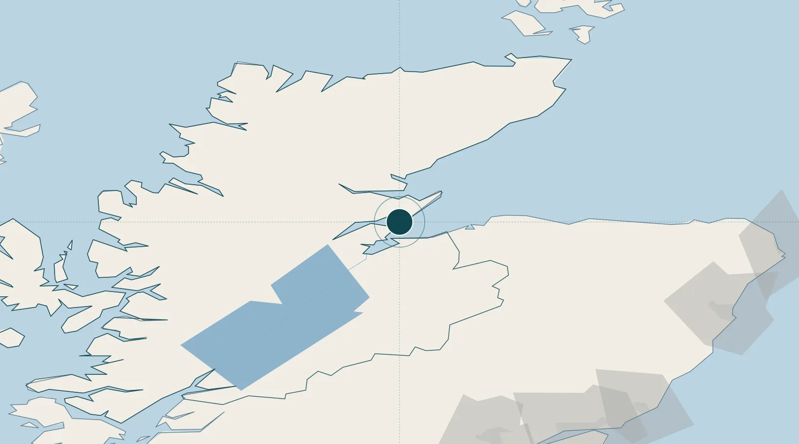
Location
Nearby Logistics Neighbours
Ports
- 1Invergordon8 km
- 2Portmahomack Harbor21 km
- 3Inverness25 km
- 4Burghead32 km
- 5Lossiemouth45 km
Cities
- 1Nigg4 km
- 2Invergordon8 km
- 3Rosemarkie11 km
- 4Balintore11 km
- 5Fortrose13 km
Airports
- 1Inverness Airport16 km
- 2RAF Lossiemouth41 km
- 3Wick John O'Groats Airport102 km
- 4Aberdeen International Airport122 km
- 5Stornoway Airport148 km
Trade Zones
DatabookThe Record of Consolidated Knowledge
United Kingdom beyond logistics?