Economic Revitalization Project · United Kingdom

Carlisle Kingmoor Park Enterprise Zone Active
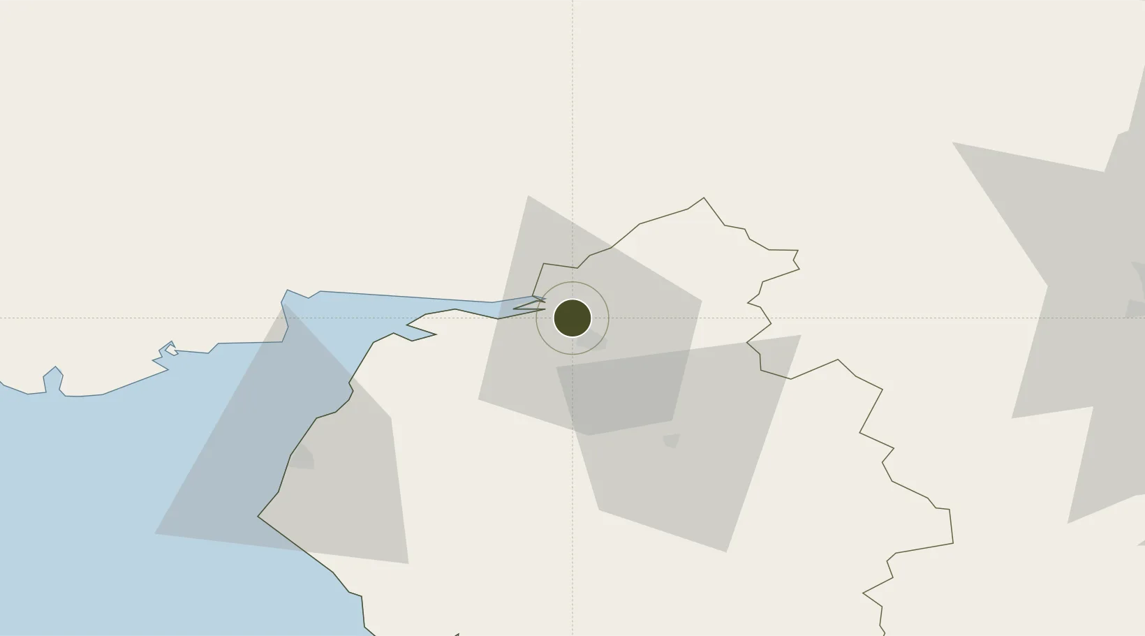
54.9348°, -2.9645°
36 ha
Zone area
28.9 km
Nearest port
9.9 km
Nearest airport

Gateway access

Nearest neighbours — logibook spatial index (haversine) over the source coordinates

Zone profile

Zone type
Economic Revitalization Project
Open Zone Map
Region
Cumbria
Open Zone Map
Status
Active
Open Zone Map
Management
Public-Private Partnership
Open Zone Map
Operator
Cumbria Local Enterprise Partnership
Open Zone Map
Legal framework
Local Government, Planning and Land Act 1980
Open Zone Map

Location

Location of ozm-4676
Natural Earth 10m (public domain) · Cumbria · ozm-4676 · 54.93, -2.96GoogleOSMYandex

Nearby Logistics Neighbours

Ports
  1. 1Silloth29 km
  2. 2Workington59 km
  3. 3Barrow In Furness93 km
  4. 4Blyth96 km
  5. 5Warkworth Harbour98 km
Nearest neighbours — logibook spatial index (haversine) over the source coordinates
Airports
  1. 1Carlisle Lake District Airport10 km
  2. 2RAF Spadeadam29 km
  3. 3Newcastle International Airport82 km
  4. 4Barrow Walney Island Airport92 km
  5. 5Teesside International Airport109 km
Nearest neighbours — logibook spatial index (haversine) over the source coordinates
Cities
  1. 1Carlisle3 km
  2. 2Harraby7 km
  3. 3Gretna10 km
  4. 4Gretna Green13 km
  5. 5Canonbie15 km
Nearest neighbours — logibook spatial index (haversine) over the source coordinates
Trade Zones
  1. 1North Eastern Enterprise Zone86 km
  2. 2Tees Valley Enterprise Zone120 km
  3. 3Prestwick Airport Free Zone122 km
  4. 4Hillhouse Enterprise Zone128 km
  5. 5Blackpool Enterprise Zone129 km
Nearest neighbours — logibook spatial index (haversine) over the source coordinates
DatabookThe Record of Consolidated Knowledge
United Kingdom beyond logistics?
Browse databook

All Sources

Trade ZonesOpen Zone Map
CC BY
Portsthe NGA World Port Index
Public domain (US gov)
AirportsOurAirports
Public domain
LocationsUN/LOCODE
UN/LOCODE — free
← United Kingdom trade zones