UN/LOCODE hub · United Kingdom
GBRCB

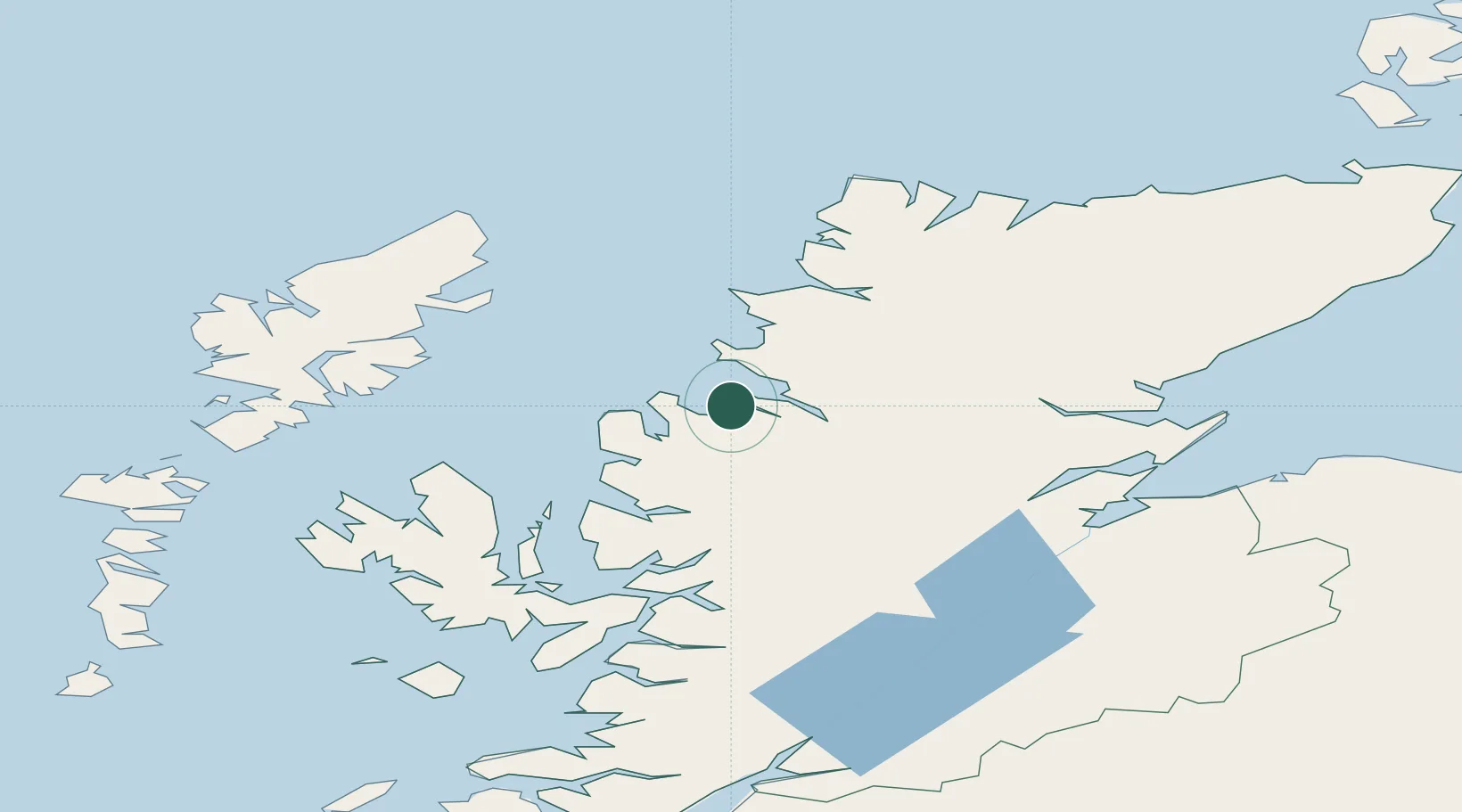
Rhu Coigach - Badluachrach

57.8833°, -5.3833°
1
Transport functions

Transport Functions

Port
UN/LOCODE

Hub Profile

Region
HLD
GeoNames

Location

Location of GBRCB
Natural Earth 10m (public domain) · HLD · GBRCB · 57.88, -5.38GoogleOSMYandex

Nearby Logistics Neighbours

Cities
  1. 1Aultbea12 km
  2. 2Ullapool13 km
  3. 3Achiltibuie17 km
  4. 4Old Dornie17 km
  5. 5Poolewe20 km
Nearest neighbours — logibook spatial index (haversine) over the source coordinates
Ports
  1. 1Aultbea13 km
  2. 2Ullapool14 km
  3. 3Gairloch26 km
  4. 4Plockton63 km
  5. 5Uig66 km
Nearest neighbours — logibook spatial index (haversine) over the source coordinates
Airports
  1. 1Stornoway Airport67 km
  2. 2Inverness Airport88 km
  3. 3RAF Lossiemouth123 km
  4. 4Benbecula Airport126 km
  5. 5Wick John O'Groats Airport149 km
Nearest neighbours — logibook spatial index (haversine) over the source coordinates
Trade Zones
  1. 1Prestwick Airport Free Zone268 km
  2. 2Carlisle Kingmoor Park Enterprise Zone360 km
  3. 3North Eastern Enterprise Zone398 km
  4. 4Isle of Man Free Zone and Business Park424 km
  5. 5Tees Valley Enterprise Zone448 km
Nearest neighbours — logibook spatial index (haversine) over the source coordinates
DatabookThe Record of Consolidated Knowledge
United Kingdom beyond logistics?
Browse databook

All Sources

LocationsUN/LOCODE
UN/LOCODE — free
Portsthe NGA World Port Index
Public domain (US gov)
AirportsOurAirports
Public domain
Trade Zonesthe World Bank SEZ database
CC BY 4.0
Trade ZonesOpen Zone Map
CC BY
← United Kingdom locations