Free Trade Zone · United Kingdom

Prestwick Airport Free Zone Inactive
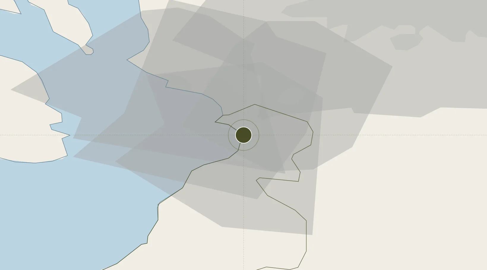
55.5093°, -4.6113°
3 ha
Zone area
4.9 km
Nearest port
2.3 km
Nearest airport

Gateway access

Nearest neighbours — logibook spatial index (haversine) over the source coordinates

Zone profile

Zone type
Free Trade Zone
Open Zone Map
Region
South Ayrshire
Open Zone Map
Status
Inactive
Open Zone Map
Management
Public-Private Partnership
Open Zone Map
Operator
Freeport Scotland Limited
Open Zone Map
Legal framework
Control Type II Free Zone - The Free Zone (Prestwick Airport) Designation (Variation) Order 1994
Open Zone Map

Location

Location of ozm-4710
Natural Earth 10m (public domain) · South Ayrshire · ozm-4710 · 55.51, -4.61GoogleOSMYandex

Nearby Logistics Neighbours

Ports
  1. 1Ayr5 km
  2. 2Troon6 km
  3. 3Ardrossan20 km
  4. 4Hunterston32 km
  5. 5Lamlash Harbor32 km
Nearest neighbours — logibook spatial index (haversine) over the source coordinates
Airports
  1. 1Glasgow Prestwick Airport2 km
  2. 2Glasgow Airport42 km
  3. 3Campbeltown Airport68 km
  4. 4Edinburgh Airport92 km
  5. 5Islay Airport105 km
Nearest neighbours — logibook spatial index (haversine) over the source coordinates
Cities
  1. 1Monkton1 km
  2. 2Prestwick3 km
  3. 3Symington4 km
  4. 4Saint Quivox4 km
  5. 5Troon5 km
Nearest neighbours — logibook spatial index (haversine) over the source coordinates
Trade Zones
  1. 1Carlisle Kingmoor Park Enterprise Zone122 km
  2. 2Isle of Man Free Zone and Business Park158 km
  3. 3North Eastern Enterprise Zone199 km
  4. 4Blackpool Enterprise Zone218 km
  5. 5Hillhouse Enterprise Zone220 km
Nearest neighbours — logibook spatial index (haversine) over the source coordinates
DatabookThe Record of Consolidated Knowledge
United Kingdom beyond logistics?
Browse databook

All Sources

Trade ZonesOpen Zone Map
CC BY
Portsthe NGA World Port Index
Public domain (US gov)
AirportsOurAirports
Public domain
LocationsUN/LOCODE
UN/LOCODE — free
← United Kingdom trade zones