Channel & Berth Profile
Pilotage, Tugs & Services
Pilotage availableYES
Potable waterYES
Facilities & Capabilities
Container—
Ro-Ro—
Liquid bulk—
Dry bulk—
Oil terminal—
Break bulk—
Dry dock—
RepairsNO
Bunkering—
Rail link—
Dangerous cargo—
ISPS security—
Harbour Specifications
Harbour size
Very Small
Harbour type
Open Roadstead
Shelter
Poor
Water body
North Atlantic Ocean
Tidal range
11 m
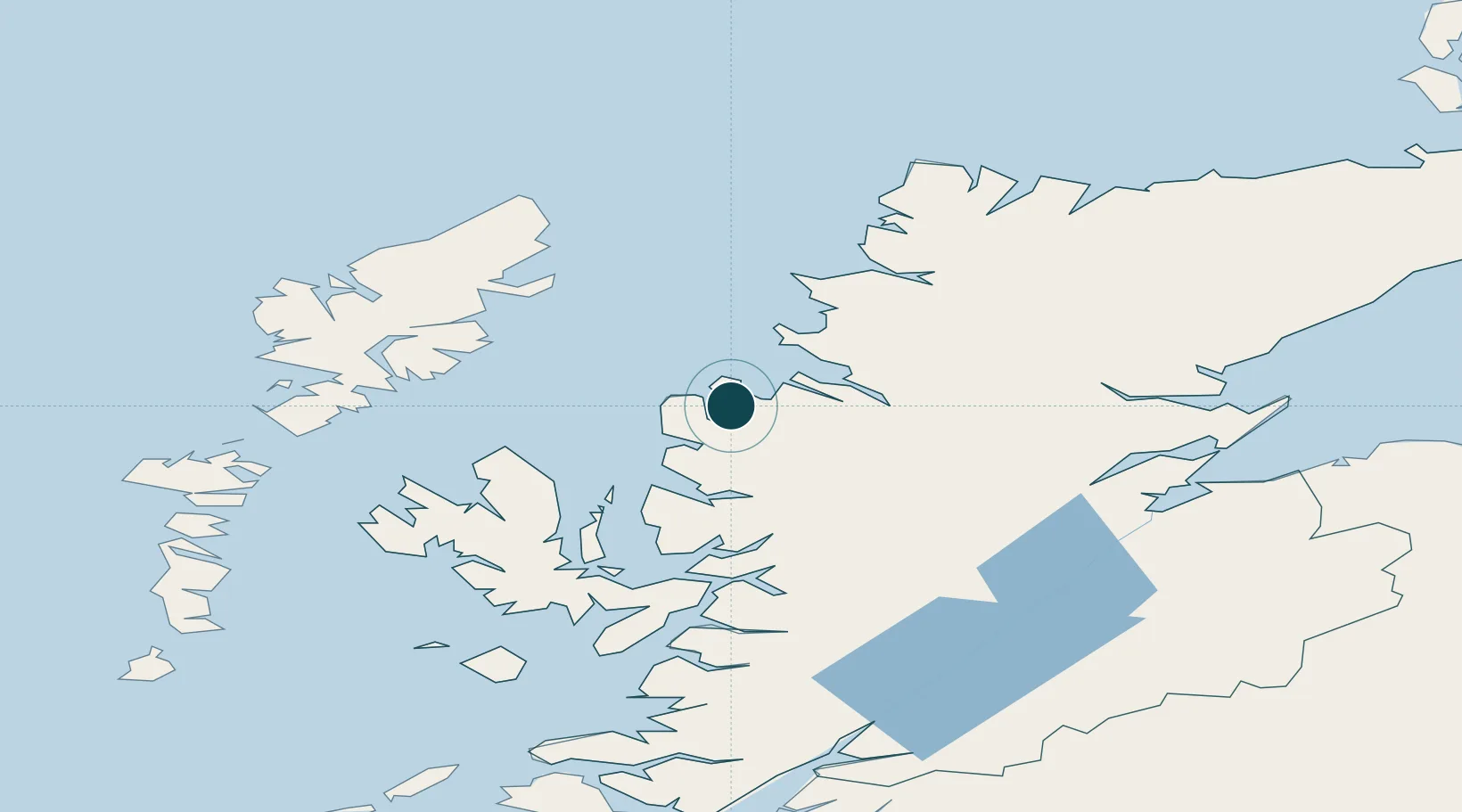
Location
Nearby Logistics Neighbours
Ports
- 1Gairloch14 km
- 2Ullapool27 km
- 3Uig53 km
- 4Plockton56 km
- 5Portree Harbor59 km
Cities
- 1Poolewe9 km
- 2Rhu Coigach - Badluachrach13 km
- 3Gairloch16 km
- 4Old Dornie24 km
- 5Achiltibuie26 km
Airports
- 1Stornoway Airport61 km
- 2Inverness Airport97 km
- 3Benbecula Airport113 km
- 4RAF Lossiemouth134 km
- 5Barra Airport143 km
Trade Zones
DatabookThe Record of Consolidated Knowledge
United Kingdom beyond logistics?