Medium airport · United Kingdom
RAF LossiemouthEGQS
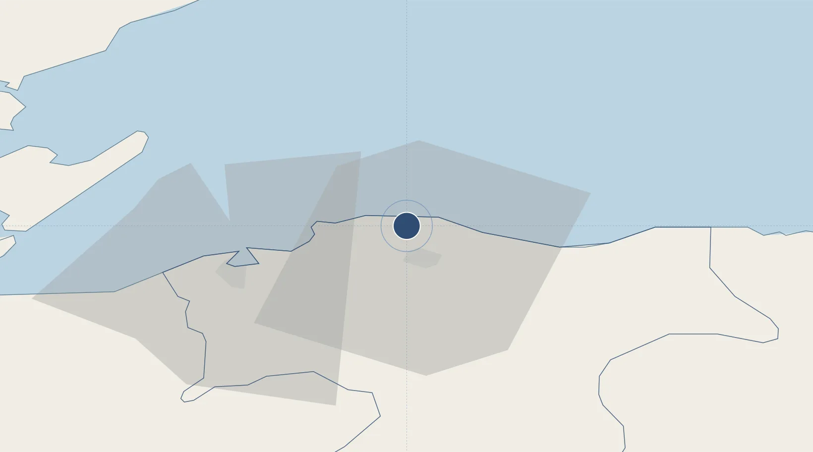
57.7052°, -3.3392°
9,091 ft
Longest runway
2
Runways
42 ft
Elevation
Runway & Layout

Radio Frequencies
ATIS
26.477 MHz
TWR
118.2 MHz
GND
118.2 MHz
APP
123.3 MHz
DEP
119.35 MHz
DIR
123.3 MHz
DIRECTOR
OPS
36.93 MHz
OPERATIONS
RDR
118.9 MHz
Navaids
KSS TACAN Kinloss 109.80 MHz
Runways · 2
| Runway | Dimensions | Surface | True heading | Lit |
|---|---|---|---|---|
| 05/23 | 9,091 × 150ft | Asphalt | 044° | ✓ |
| 10/28 | 6,066 × 150ft | Asphalt | 096° | ✓ |
Airport Specifications
IATA code
LMO
ICAO code
EGQS
Airport class
Medium airport
Scheduled service
No
Runway surface
Asphalt
Served city
Lossiemouth, Moray
Location
Nearby Logistics Neighbours
Airports
- 1Inverness Airport46 km
- 2Wick John O'Groats Airport85 km
- 3Aberdeen International Airport88 km
- 4Dundee Airport141 km
- 5Kirkwall Airport142 km
Cities
- 1Lossiemouth3 km
- 2Hopeman6 km
- 3Elgin6 km
- 4Burghead9 km
- 5Charlestown of Aberlour9 km
Ports
- 1Lossiemouth4 km
- 2Burghead10 km
- 3Buckie Harbor22 km
- 4Portmahomack Harbor33 km
- 5Cromarty41 km
Trade Zones
DatabookThe Record of Consolidated Knowledge
United Kingdom beyond logistics?