Medium airport · United Kingdom

Wick John O'Groats AirportEGPC
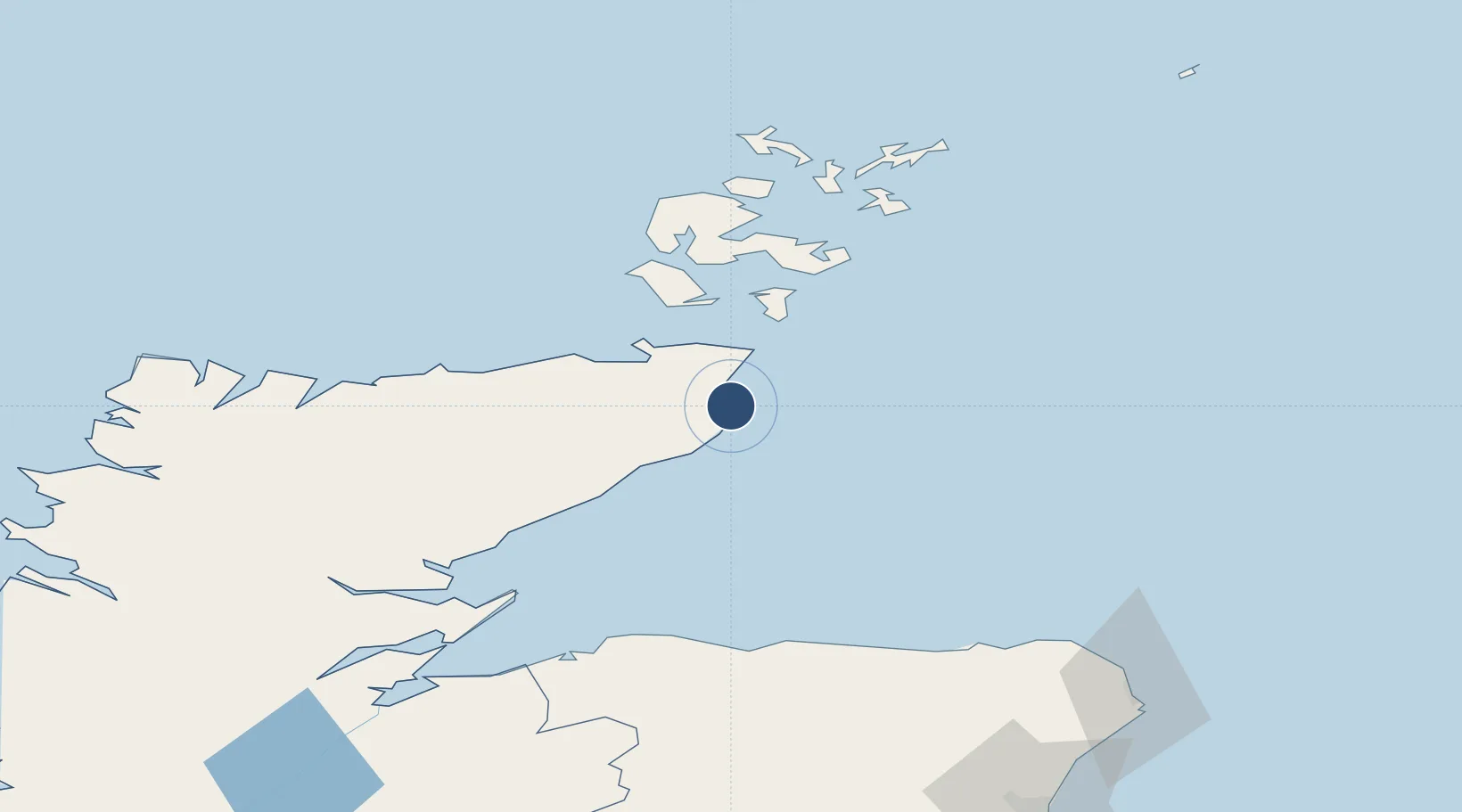
58.4589°, -3.0931°
6,007 ft
Longest runway
1
Runways
126 ft
Elevation

Runway & Layout

Wick John O'Groats Airport runway & taxiway layout
Runway & taxiway layout — OpenStreetMap (ODbL) / OurAirports

Radio Frequencies

ATIS
113.6 MHz
TWR
119.705 MHz
APP
119.705 MHz
AFIS
119.705 MHz
INFO
OurAirports

Navaids

WCK NDB Wick 344 kHz
WIK VOR-DME Wick 113.60 MHz
OurAirports

Runways · 1

RunwayDimensions SurfaceTrue headingLit
13/31 6,007 × 148ft Asphalt 127°
OurAirports

Airport Specifications

IATA code
WIC
OurAirports
ICAO code
EGPC
OurAirports
Airport class
Medium airport
OurAirports
Scheduled service
Yes
OurAirports
Runway surface
Asphalt
OurAirports
Served city
Wick
OurAirports

Location

Location of EGPC
Natural Earth 10m (public domain) · Highland · EGPC · 58.46, -3.09GoogleOSMYandex

Nearby Logistics Neighbours

Airports
  1. 1Kirkwall Airport57 km
  2. 2Stronsay Airport82 km
  3. 3Eday Airport83 km
  4. 4RAF Lossiemouth85 km
  5. 5Sanday Airport93 km
Nearest neighbours — logibook spatial index (haversine) over the source coordinates
Cities
  1. 1Wick Caithness3 km
  2. 2Staxigoe5 km
  3. 3Keiss8 km
  4. 4Auckengill12 km
  5. 5Whaligoe15 km
Nearest neighbours — logibook spatial index (haversine) over the source coordinates
Ports
  1. 1Wick3 km
  2. 2Scrabster Harbor32 km
  3. 3Lyness42 km
  4. 4St Margarets Hope42 km
  5. 5Helmsdale Harbor50 km
Nearest neighbours — logibook spatial index (haversine) over the source coordinates
Trade Zones
  1. 1Prestwick Airport Free Zone341 km
  2. 2Carlisle Kingmoor Park Enterprise Zone392 km
  3. 3North Eastern Enterprise Zone399 km
  4. 4Tees Valley Enterprise Zone445 km
  5. 5Isle of Man Free Zone and Business Park495 km
Nearest neighbours — logibook spatial index (haversine) over the source coordinates
DatabookThe Record of Consolidated Knowledge
United Kingdom beyond logistics?
Browse databook

All Sources

AirportsOurAirports
Public domain
Portsthe NGA World Port Index
Public domain (US gov)
LocationsUN/LOCODE
UN/LOCODE — free
Trade Zonesthe World Bank SEZ database
CC BY 4.0
Trade ZonesOpen Zone Map
CC BY
InfrastructureOpenStreetMap
ODbL 1.0
← United Kingdom airports