Medium airport · United Kingdom

Benbecula AirportEGPL
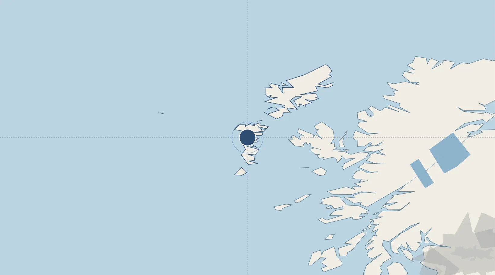
57.4811°, -7.3628°
6,027 ft
Longest runway
2
Runways
19 ft
Elevation

Runway & Layout

Benbecula Airport runway & taxiway layout
Runway & taxiway layout — OpenStreetMap (ODbL) / OurAirports

Radio Frequencies

ATIS
113.95 MHz
TWR
119.205 MHz
APP
119.205 MHz
OurAirports

Navaids

BCL DME Benbecula 108.10 MHz
BEN VOR-DME Benbecula 113.95 MHz
OurAirports

Runways · 2

RunwayDimensions SurfaceTrue headingLit
06/24 6,027 × 151ft Asphalt 055°
17/35 3,963 × 151ft Asphalt 167°
OurAirports

Airport Specifications

IATA code
BEB
OurAirports
ICAO code
EGPL
OurAirports
Airport class
Medium airport
OurAirports
Scheduled service
Yes
OurAirports
Runway surface
Asphalt
OurAirports
Served city
Balivanich
OurAirports

Location

Location of EGPL
Natural Earth 10m (public domain) · Eilean Siar · EGPL · 57.48, -7.36GoogleOSMYandex

Nearby Logistics Neighbours

Airports
  1. 1Barra Airport51 km
  2. 2Stornoway Airport102 km
  3. 3Coll Airport108 km
  4. 4Tiree Airport113 km
  5. 5Oban Airport164 km
Nearest neighbours — logibook spatial index (haversine) over the source coordinates
Cities
  1. 1Kallin (Ceallan), Isle of Grimsay10 km
  2. 2Grimsay10 km
  3. 3Gowran15 km
  4. 4Lochmaddy17 km
  5. 5Hougharry and Loch Eport17 km
Nearest neighbours — logibook spatial index (haversine) over the source coordinates
Ports
  1. 1Lochmaddy18 km
  2. 2Lochboisdale37 km
  3. 3Tarbert57 km
  4. 4Castle Bay60 km
  5. 5Uig62 km
Nearest neighbours — logibook spatial index (haversine) over the source coordinates
Trade Zones
  1. 1Prestwick Airport Free Zone277 km
  2. 2Carlisle Kingmoor Park Enterprise Zone393 km
  3. 3Isle of Man Free Zone and Business Park414 km
  4. 4Dublin International Financial Services Centre465 km
  5. 5Blackpool Enterprise Zone494 km
Nearest neighbours — logibook spatial index (haversine) over the source coordinates
DatabookThe Record of Consolidated Knowledge
United Kingdom beyond logistics?
Browse databook

All Sources

AirportsOurAirports
Public domain
Portsthe NGA World Port Index
Public domain (US gov)
LocationsUN/LOCODE
UN/LOCODE — free
Trade Zonesthe World Bank SEZ database
CC BY 4.0
Trade ZonesOpen Zone Map
CC BY
InfrastructureOpenStreetMap
ODbL 1.0
← United Kingdom airports