Medium airport · United Kingdom
Barra AirportEGPR
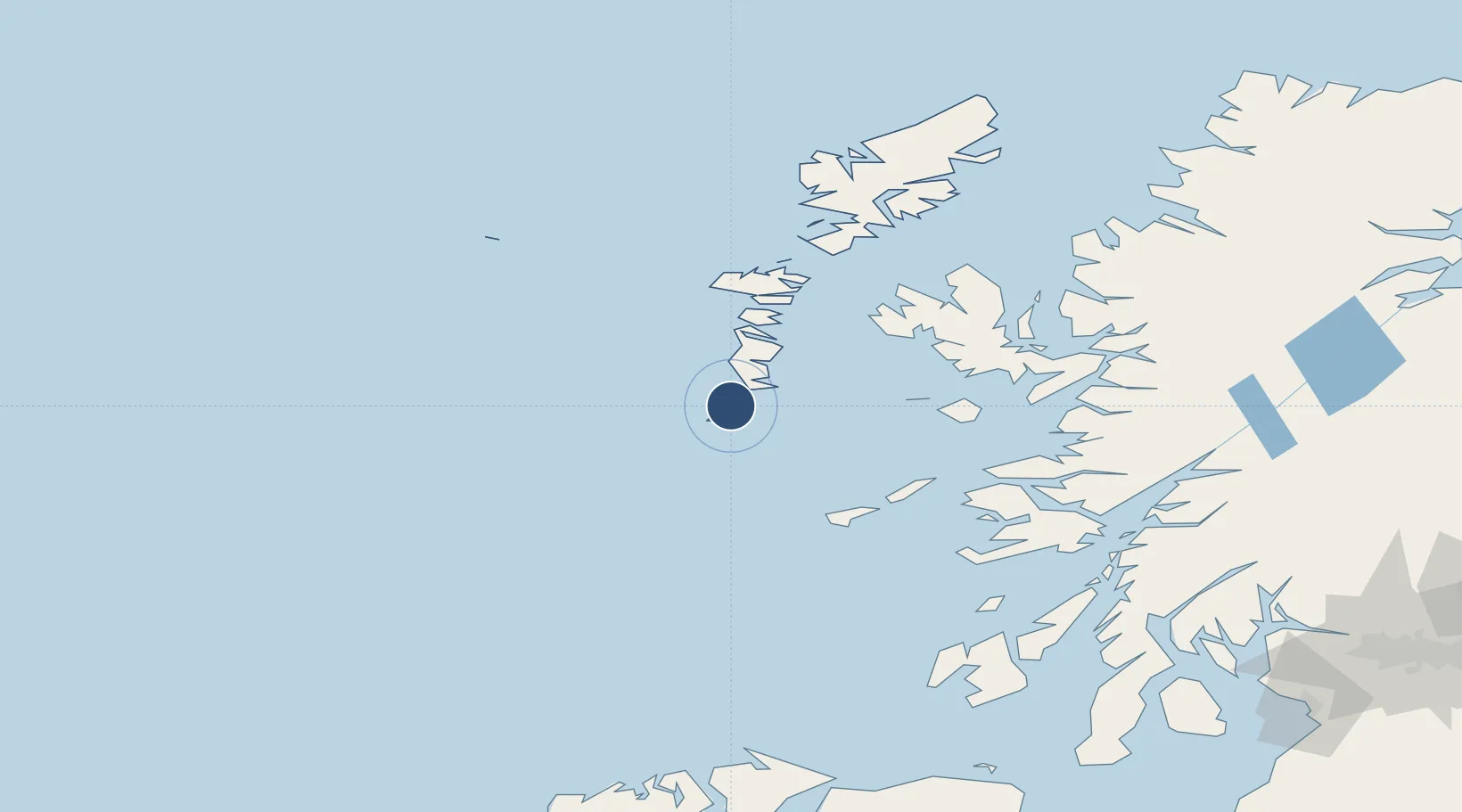
57.0228°, -7.4431°
2,776 ft
Longest runway
3
Runways
5 ft
Elevation
Runway & Layout

Radio Frequencies
AFIS
118.075 MHz
Barra AFIS
Navaids
BRR NDB Barra 316 kHz
Runways · 3
| Runway | Dimensions | Surface | True heading | Lit |
|---|---|---|---|---|
| 15/33 | 2,776 × 151ft | Sand | — | — |
| 07/25 | 2,621 × 197ft | Sand | — | — |
| 11/29 | 2,231 × 151ft | Sand | — | — |
Airport Specifications
IATA code
BRR
ICAO code
EGPR
Airport class
Medium airport
Scheduled service
Yes
Runway surface
Sand
Served city
Eoligarry
Location
Nearby Logistics Neighbours
Airports
- 1Benbecula Airport51 km
- 2Tiree Airport68 km
- 3Coll Airport69 km
- 4Colonsay Airstrip130 km
- 5Oban Airport139 km
Cities
- 1Aird Mhor (Ardmhor)2 km
- 2Ardveenish4 km
- 3Northbay4 km
- 4Brevig, Barra8 km
- 5Castlebay8 km
Ports
- 1Castle Bay9 km
- 2Lochboisdale17 km
- 3Lochmaddy66 km
- 4Portree Harbor87 km
- 5Uig91 km
Trade Zones
DatabookThe Record of Consolidated Knowledge
United Kingdom beyond logistics?