Seaport · United Kingdom

UigGBUIG

57.5833°, -6.3500°
12.5 m
Channel depth
Uig is also a UN/LOCODE logistics hub →

Channel & Berth Profile

SEA LEVEL (CD)CHANNEL BEDCargo pier · 4.9 mAnchorage · 7.9 mChannel · 12.5 m
NGA World Port Index

Pilotage, Tugs & Services

Potable waterYES
MedicalYES
NGA World Port Index

Facilities & Capabilities

Container
Ro-Ro
Liquid bulk
Dry bulk
Oil terminal
Break bulk
Dry dock
RepairsNO
BunkeringYES
Rail link
Dangerous cargo
ISPS security
NGA World Port Index

Harbour Specifications
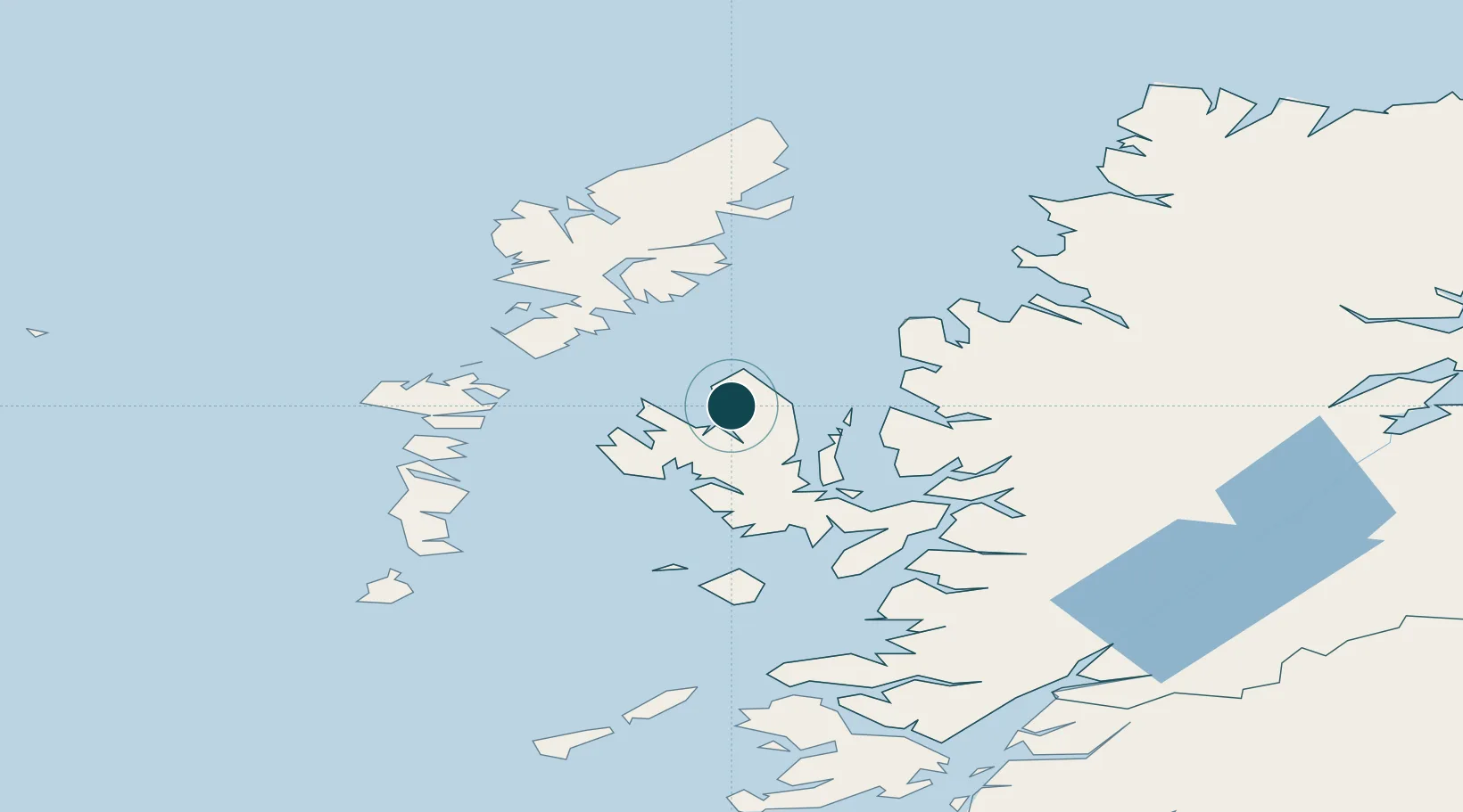
Harbour size
Very Small
NGA World Port Index
Harbour type
Coastal (Natural)
NGA World Port Index
Shelter
Good
NGA World Port Index
Water body
North Atlantic Ocean
NGA World Port Index
Tidal range
12 m
NGA World Port Index

Location

Location of GBUIG
Natural Earth 10m (public domain) · Highland · GBUIG · 57.58, -6.35GoogleOSMYandex

Nearby Logistics Neighbours

Ports
  1. 1Portree Harbor21 km
  2. 2Gairloch42 km
  3. 3Tarbert45 km
  4. 4Broadford Bay46 km
  5. 5Lochmaddy49 km
Nearest neighbours — logibook spatial index (haversine) over the source coordinates
Cities
  1. 1Snizort11 km
  2. 2Palnackie21 km
  3. 3Portree21 km
  4. 4Dunvegan22 km
  5. 5Dunstaffnage24 km
Nearest neighbours — logibook spatial index (haversine) over the source coordinates
Airports
  1. 1Benbecula Airport62 km
  2. 2Stornoway Airport70 km
  3. 3Barra Airport91 km
  4. 4Coll Airport110 km
  5. 5Tiree Airport125 km
Nearest neighbours — logibook spatial index (haversine) over the source coordinates
Trade Zones
  1. 1Prestwick Airport Free Zone254 km
  2. 2Carlisle Kingmoor Park Enterprise Zone361 km
  3. 3Isle of Man Free Zone and Business Park403 km
  4. 4Dublin International Financial Services Centre471 km
  5. 5Blackpool Enterprise Zone472 km
Nearest neighbours — logibook spatial index (haversine) over the source coordinates
DatabookThe Record of Consolidated Knowledge
United Kingdom beyond logistics?
Browse databook

All Sources

Portsthe NGA World Port Index
Public domain (US gov)
AirportsOurAirports
Public domain
LocationsUN/LOCODE
UN/LOCODE — free
Trade Zonesthe World Bank SEZ database
CC BY 4.0
Trade ZonesOpen Zone Map
CC BY
← United Kingdom ports