Channel & Berth Profile
Pilotage, Tugs & Services
Pilotage availableYES
Tug assistanceNO
Salvage tugsNO
Potable waterYES
Diesel bunkersYES
MedicalYES
Facilities & Capabilities
Container—
Ro-Ro—
Liquid bulk—
Dry bulk—
Oil terminal—
Break bulk—
Dry dock—
RepairsNO
BunkeringYES
Rail linkYES
Dangerous cargo—
ISPS security—
Harbour Specifications
Harbour size
Very Small
Harbour type
Coastal (Natural)
Shelter
Fair
Water body
North Atlantic Ocean
Tidal range
4 m
Overhead limit
Yes
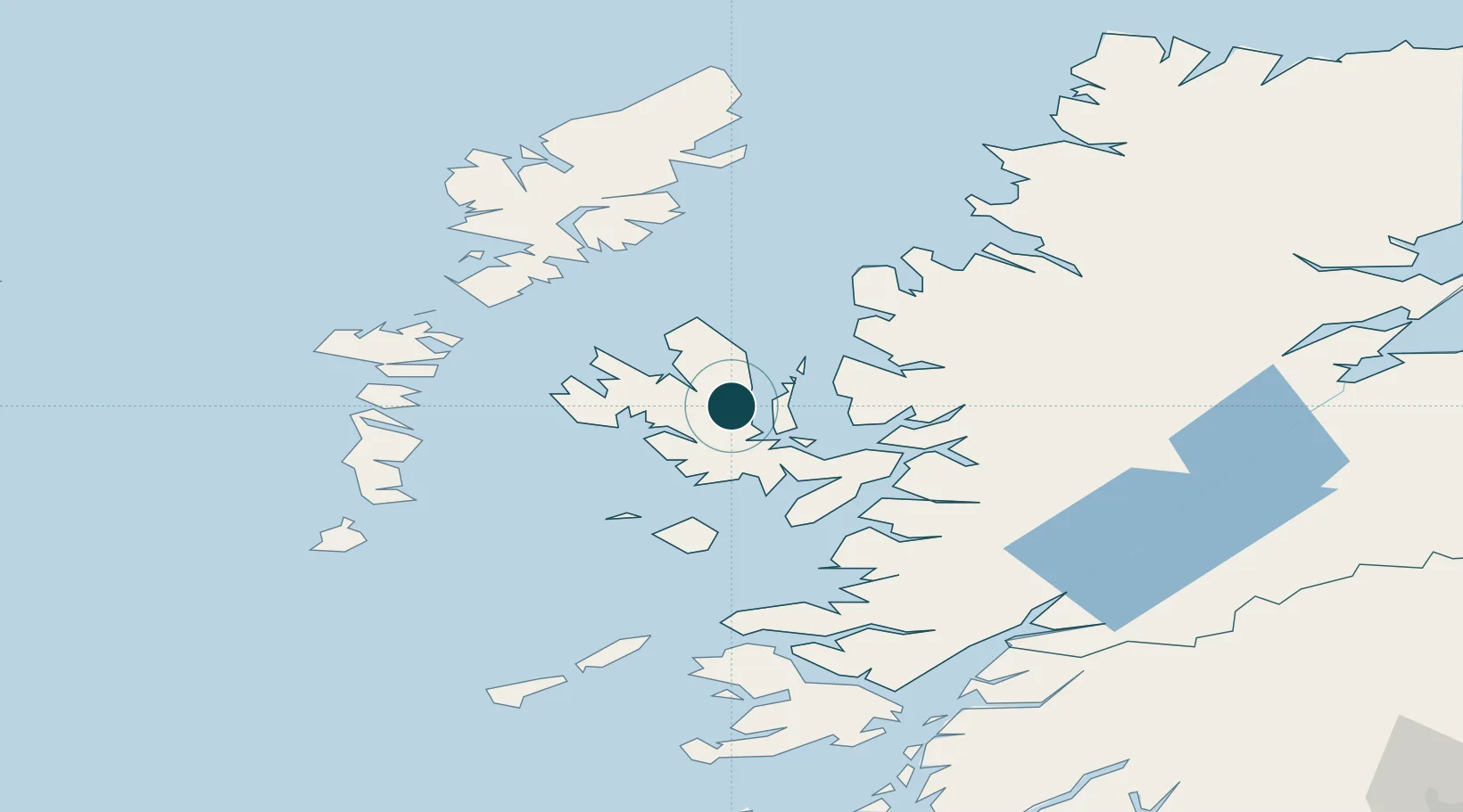
Location
Nearby Logistics Neighbours
Ports
- 1Uig21 km
- 2Broadford Bay27 km
- 3Kyle Of Lochalsh33 km
- 4Kyleakin33 km
- 5Plockton34 km
Cities
- 1Palnackie1 km
- 2Snizort10 km
- 3Clachan, Raasay12 km
- 4Sconser, Isle of Skye14 km
- 5Bracadale14 km
Airports
- 1Benbecula Airport70 km
- 2Barra Airport87 km
- 3Stornoway Airport89 km
- 4Coll Airport94 km
- 5Tiree Airport110 km
Trade Zones
DatabookThe Record of Consolidated Knowledge
United Kingdom beyond logistics?