Transport Functions
Port
Hub Profile
Place type
Populated place
Region
Scotland
Time zone
Europe/London
Elevation
13 m
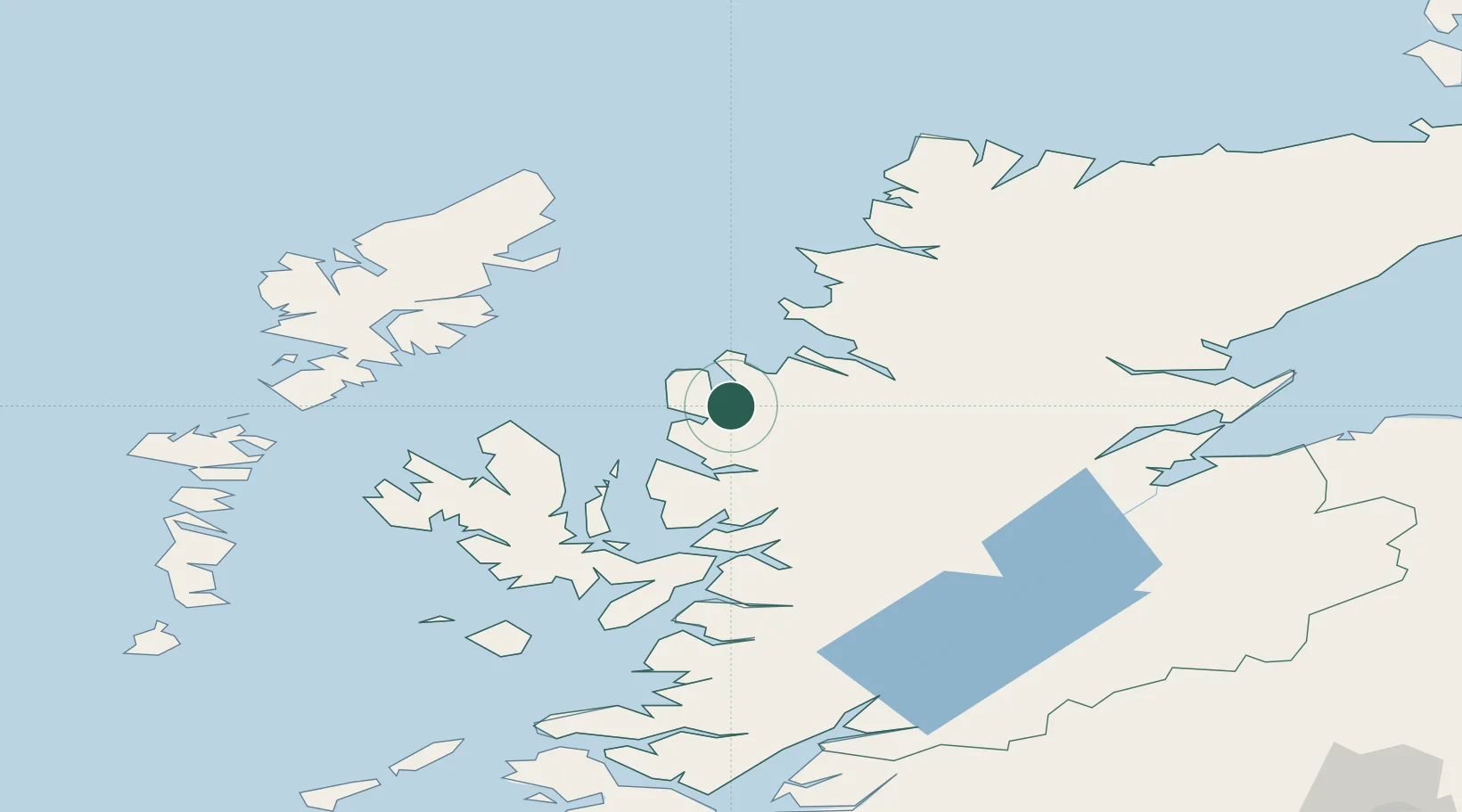
Location
Nearby Logistics Neighbours
Cities
- 1Gairloch7 km
- 2Aultbea10 km
- 3Rudh Re - Red Point18 km
- 4Rhu Coigach - Badluachrach20 km
- 5Torridon25 km
Airports
- 1Stornoway Airport67 km
- 2Inverness Airport95 km
- 3Benbecula Airport109 km
- 4RAF Lossiemouth134 km
- 5Barra Airport137 km
Trade Zones
DatabookThe Record of Consolidated Knowledge
United Kingdom beyond logistics?