Transport Functions
Port
Road
Hub Profile
Place type
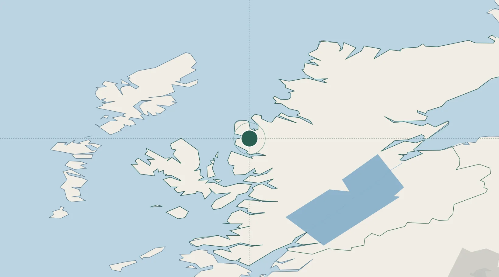
Populated place
Region
Scotland
Time zone
Europe/London
Elevation
5 m
Location
Nearby Logistics Neighbours
Cities
- 1Poolewe7 km
- 2Rudh Re - Red Point12 km
- 3Aultbea16 km
- 4Shieldaig21 km
- 5Torridon21 km
Ports
- 1Aultbea16 km
- 2Ullapool38 km
- 3Plockton41 km
- 4Uig43 km
- 5Portree Harbor45 km
Airports
- 1Stornoway Airport70 km
- 2Inverness Airport98 km
- 3Benbecula Airport104 km
- 4Barra Airport131 km
- 5Coll Airport135 km
Trade Zones
DatabookThe Record of Consolidated Knowledge
United Kingdom beyond logistics?