Seaport · Belgium
ZeebruggeBEZEE
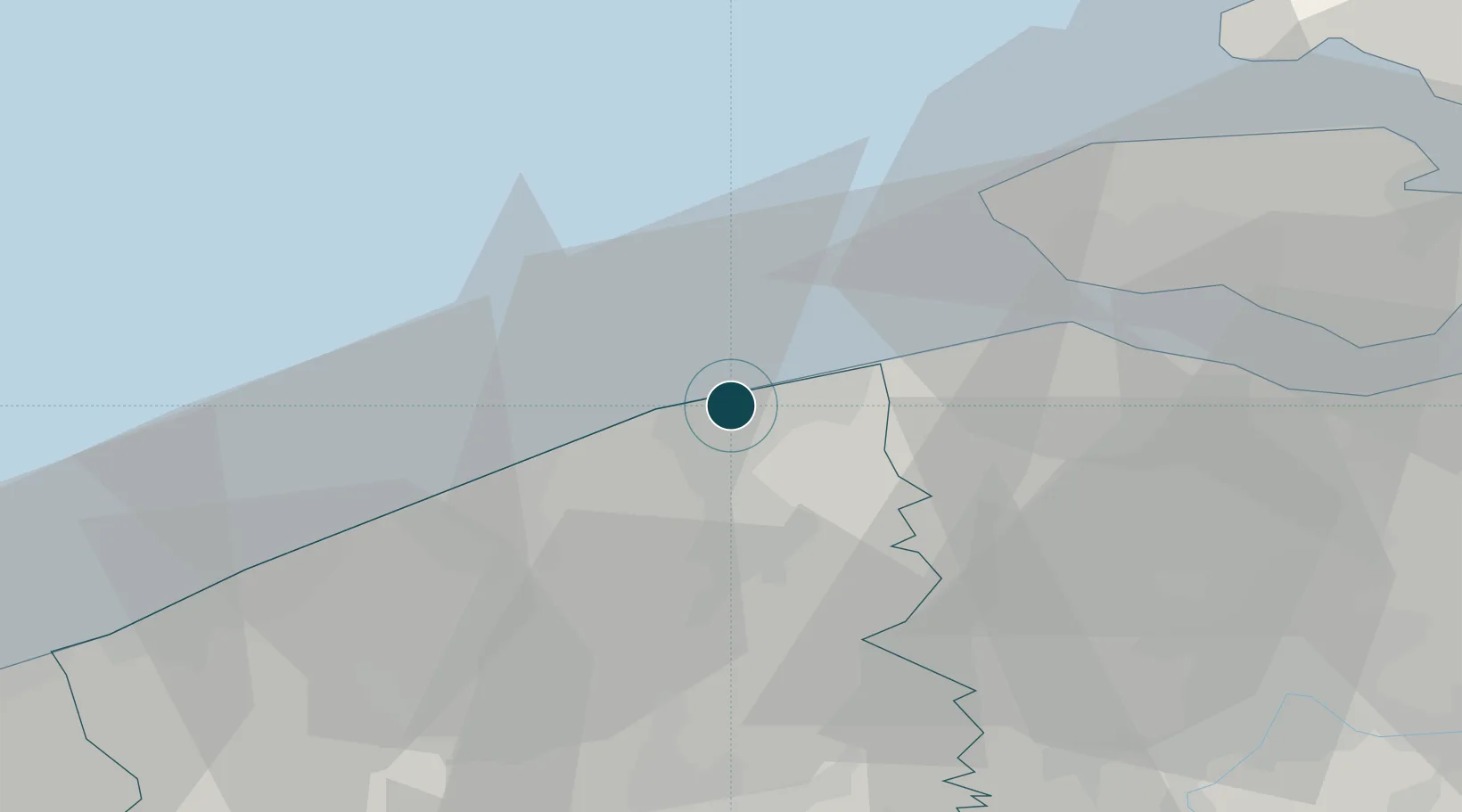
51.3333°, 3.2000°
9.4 m
Channel depth
2
Container terminals
216.1
Port liner connectivity
Channel & Berth Profile
Pilotage, Tugs & Services
Pilotage compulsoryYES
Pilotage availableYES
Pilotage advisableYES
Tug assistanceYES
Shore powerYES
Potable waterYES
Diesel bunkersYES
MedicalYES
Garbage disposalYES
Facilities & Capabilities
Container—
Ro-Ro—
Liquid bulk—
Dry bulk—
Oil terminal—
Break bulk—
Dry dockNO
RepairsNO
BunkeringYES
Rail linkYES
Dangerous cargo—
ISPS security—
Harbour Specifications
Harbour size
Medium
Harbour type
Coastal (Breakwater)
Shelter
Good
Water body
North Sea; North Atlantic Ocean
Tidal range
4 m
Overhead limit
No
Pilotage
Yes
Liner Connectivity
216.1
PLSCI
Port Liner Shipping Connectivity Index for Zeebrugge, as published by UNCTAD for the latest available quarter. Higher values indicate stronger scheduled liner-shipping integration.
Shown relative to the highest per-port PLSCI in the dataset (1,657.9).
Location
Container Terminals · 2
CSP ZEEBRUGGE TERMINAL
CSPZ CSP ZEEBRUGGE TERMINAL NV
PSA ZEEBRUGGE TERMINAL
PSAZ PSA ZEEBRUGGE NV
Nearby Logistics Neighbours
Ports
- 1Bruges11 km
- 2Oostende23 km
- 3Vlissingen31 km
- 4Nieuwpoort38 km
- 5Terneuzen43 km
Cities
- 1Lissewege4 km
- 2Blankenberge5 km
- 3Oostkerke8 km
- 4Scheepsdale13 km
- 5Brugge (Bruges)13 km
Airports
Trade Zones
- 1ZFU Tourcoing68 km
- 2ZFU Saint Pol sur Mer69 km
- 3ZFU Hem et Roubaix72 km
- 4ZFU de Lille et de Loos79 km
- 5ZFU Condé sur lEscaut100 km
DatabookThe Record of Consolidated Knowledge
Belgium beyond logistics?