Seaport · Belgium

OostendeBEOST

51.2333°, 2.9167°
4.9 m
Channel depth
35.0
Port liner connectivity
Oostende is also a UN/LOCODE logistics hub →

Channel & Berth Profile

SEA LEVEL (CD)CHANNEL BEDOil terminal · 3.4 mChannel · 4.9 mCargo pier · 4.9 mAnchorage · 6.4 m
NGA World Port Index

Pilotage, Tugs & Services

Pilotage compulsoryYES
Pilotage availableYES
Pilotage advisableYES
Tug assistanceYES
Potable waterYES
Diesel bunkersYES
MedicalYES
Garbage disposalYES
NGA World Port Index

Facilities & Capabilities

Container
Ro-Ro
Liquid bulk
Dry bulk
Oil terminal
Break bulk
Dry dockNO
RepairsNO
BunkeringYES
Rail linkYES
Dangerous cargo
ISPS security
NGA World Port Index

Harbour Specifications

Harbour size
Small
NGA World Port Index
Harbour type
River (Tide Gates)
NGA World Port Index
Shelter
Fair
NGA World Port Index
Water body
North Sea; North Atlantic Ocean
NGA World Port Index
Tidal range
5 m
NGA World Port Index
Overhead limit
Yes
NGA World Port Index
Pilotage
Yes
NGA World Port Index

Liner Connectivity

35
PLSCI

Port Liner Shipping Connectivity Index for Oostende, as published by UNCTAD for the latest available quarter. Higher values indicate stronger scheduled liner-shipping integration.

Shown relative to the highest per-port PLSCI in the dataset (1,657.9).
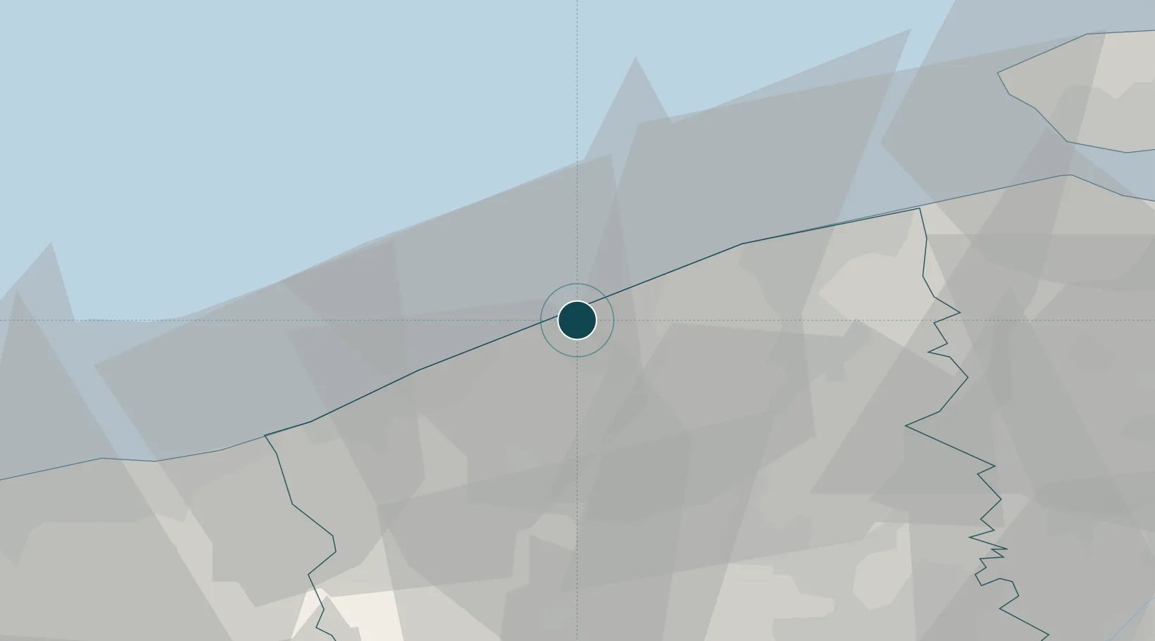
UNCTAD · Port Liner Shipping Connectivity Index

Location

Location of BEOST
Natural Earth 10m (public domain) · West Flanders · BEOST · 51.23, 2.92GoogleOSMYandex

Nearby Logistics Neighbours

Ports
  1. 1Nieuwpoort16 km
  2. 2Bruges21 km
  3. 3Zeebrugge23 km
  4. 4Dunkerque Port Est44 km
  5. 5Vlissingen53 km
Nearest neighbours — logibook spatial index (haversine) over the source coordinates
Cities
  1. 1Sas-Slijkens3 km
  2. 2Zandvoorde5 km
  3. 3Snaaskerke6 km
  4. 4Leffinge8 km
  5. 5Oudenburg8 km
Nearest neighbours — logibook spatial index (haversine) over the source coordinates
Airports
  1. 1Ostend-Bruges International Airport5 km
  2. 2Koksijde Air Base24 km
  3. 3Flanders International Airport Kortrijk-Wevelgem50 km
  4. 4Merville-Calonne Airport71 km
  5. 5Calais Marck Airport74 km
Nearest neighbours — logibook spatial index (haversine) over the source coordinates
Trade Zones
  1. 1ZFU Saint Pol sur Mer47 km
  2. 2ZFU Tourcoing59 km
  3. 3ZFU Hem et Roubaix63 km
  4. 4ZFU de Lille et de Loos67 km
  5. 5ZFU Calais82 km
Nearest neighbours — logibook spatial index (haversine) over the source coordinates
DatabookThe Record of Consolidated Knowledge
Belgium beyond logistics?
Browse databook

All Sources

Portsthe NGA World Port Index
Public domain (US gov)
Logistics performanceUNCTAD
CC BY 3.0 IGO
AirportsOurAirports
Public domain
LocationsUN/LOCODE
UN/LOCODE — free
Trade Zonesthe World Bank SEZ database
CC BY 4.0
Trade ZonesOpen Zone Map
CC BY
← Belgium ports