Natural Earth · boundaries do not imply endorsement
Databook
The Record of Consolidated Knowledge Belgium beyond logistics?
PopulationEconomyGovernanceParliamentHealthEducationLabourInfrastructureEnvironment & EnergyDefenseGeographyIdentityComplianceSpaceTimeline
Browse databook → 
Logistics profile
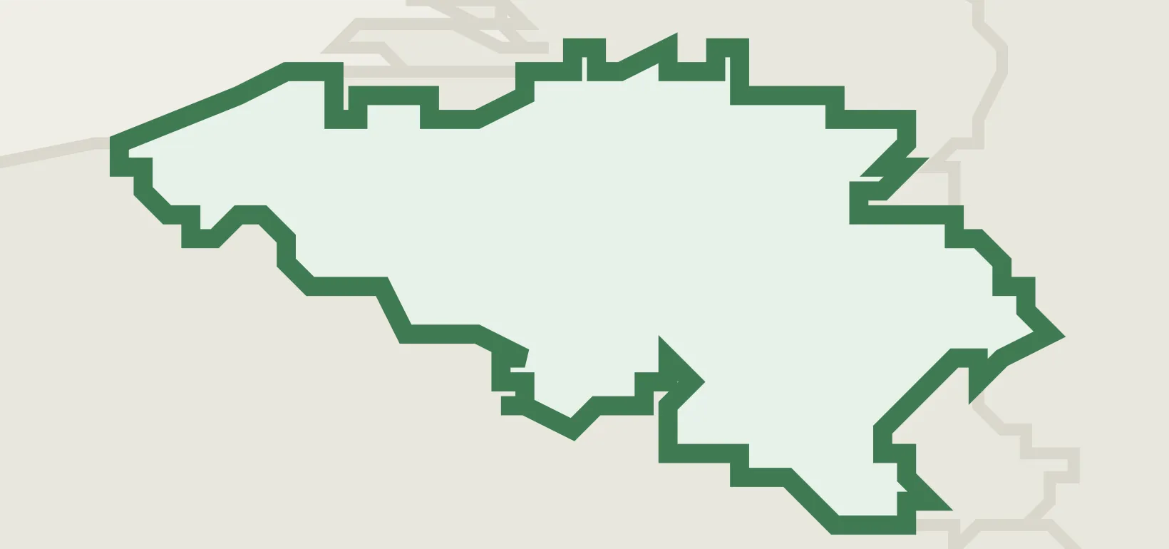
Belgium
CoEEMEAEUEUROZONEIMFNATOOECDUNWCOWTO
Belgium (BEL) maps 7 seaports from the NGA World Port Index, 11 airports, and 570 UN/LOCODE transport hubs — each figure traced to a named public registry (NGA, OurAirports, UNECE).
Explore the country's ports, airports, hubs and trade zones below, each cross-linked to its sourced entity record, or open the same nation on databook for its wider reference profile.
7
Ports
11
Airports
570
Locations
0
Trade Zones
9
Airlines
Logistics Performance
World Bank LPI · 6 components (0–5)
- Global LPI rank#7/139
- Overall LPI score4.00/5.00
- UNCTAD liner connectivity (LSCI)338.9 · 2024-Q1
- Port connectivity (PLSCI)896.9 · Antwerp
- Infrastructure quality4.1
- Customs efficiency3.9
Transport Network & Freight
Rail network
3,612route-km
Container throughput
12,303,822TEU
Air freight
1,831.5M ton-km
Maritime territory (EEZ)
3,531km²
Logistics sites
459
TEN-T network
23core
Trade & Compliance
International Cargo Treaties
Total: 20
✓
Convention on the International Maritime Organization Party · 1951
✓
Agreement relating to the implementation of Part XI of… Party · 1994
✓
Agreement under the United Nations Convention on the Law… Party · 2025
✓
Agreement for the Implementation of the Provisions of the… Party · 2003
Trade Flow
Top export market Netherlands 15.4%
Top import source Netherlands 20.7%
Lead export good Pharmaceuticals 13.2%
Lead import good Mineral fuels & oils 14.9%
Preferential Trade
Total: 57 · via the European Union
- FTA & EIA EU - United Kingdom
- FTA EU - Pacific States - Accession of Solomon Islands
- FTA & EIA EU - Viet Nam
- FTA EU - Eastern and Southern Africa States - Accession of Comoros
Logistics Infrastructure
Ports
7 seaports in Belgium — channel and anchorage depths, berths and cargo facilities from the NGA World Port Index.
Ghent BEGNE 11.0 m Antwerpen BEANR 11.0 m Zeebrugge BEZEE 9.4 m Bruges BEBGS 7.9 m Oostende BEOST 4.9 m
Browse Ports → Airports
11 airports in Belgium, identified by IATA and ICAO codes and located by city.
Liège Airport LGG 12106 ft Brussels Airport BRU 11936 ft Florennes Air Base EBFS 11105 ft Ostend-Bruges International Airport OST 10499 ft Kleine Brogel Air Base EBBL 10158 ft
Source OurAirports
Browse Airports → Locations
570 UN/LOCODE transport hubs in Belgium — port, rail, road, air and border-crossing function points.
Antwerpen BEANR Port, Rail, Road, Airport, Postal Antwerp Churchill Terminal BEANT Multimodal Zeebrugge BEZEE Port, Road Gent (Ghent) BEGNE Port, Rail, Road, Airport Kallo BEKOU Port, Road
Browse Locations → Trade Zones
the World Bank SEZ database and Open Zone Map records no special economic zones for Belgium.
All Sources
Referencelogibook trade-bloc referencelogibook trade-bloc reference
Compiled (public facts)
commoditythe U.S. Energy Information Administrationthe U.S. Energy Information Administration
Public domain (US gov)↗
Referenceinternational organisation membership recordsinternational organisation membership records
Public (official lists)↗
Sanctions & compliancethe UN Security Council Consolidated Listthe UN Security Council Consolidated List
UN — open↗
Sanctions & compliancethe EU Consolidated Sanctions Listthe EU Consolidated Sanctions List
© EU — free reuse↗
Tradethe World Bank's Deep Trade Agreements databasethe World Bank's Deep Trade Agreements database
CC BY 4.0↗
Logistics performancethe World Bank Logistics Performance Indexthe World Bank Logistics Performance Index
CC BY 4.0↗
Infrastructurethe World Bank's World Development Indicatorsthe World Bank's World Development Indicators
CC BY 4.0↗