Economic Revitalization Project · France

ZFU Hem et Roubaix Active
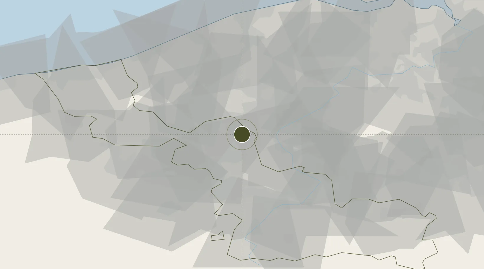
50.6887°, 3.1667°
157 ha
Zone area
57.4 km
Nearest port
14.3 km
Nearest airport

Gateway access

Nearest neighbours — logibook spatial index (haversine) over the source coordinates

Zone profile

Zone type
Economic Revitalization Project
Open Zone Map
Region
Nord
Open Zone Map
Status
Active
Open Zone Map
Management
Public
Open Zone Map
Operator
Ville de Roubaix
Open Zone Map
Legal framework
Décret no 65-939 du 8 novembre 1965, Décret du 9 Octobre 2008
Open Zone Map

Location

Location of ozm-1976
Natural Earth 10m (public domain) · Nord · ozm-1976 · 50.69, 3.17GoogleOSMYandex

Nearby Logistics Neighbours

Ports
  1. 1Nieuwpoort57 km
  2. 2Ghent58 km
  3. 3Bruges61 km
  4. 4Oostende63 km
  5. 5Dunkerque Port Est71 km
Nearest neighbours — logibook spatial index (haversine) over the source coordinates
Airports
  1. 1Lille Airport14 km
  2. 2Flanders International Airport Kortrijk-Wevelgem15 km
  3. 3Merville-Calonne Airport38 km
  4. 4Valenciennes-Denain Airfield45 km
  5. 5Chièvres Air Base49 km
Nearest neighbours — logibook spatial index (haversine) over the source coordinates
Cities
  1. 1Roubaix1 km
  2. 2Tourcoing3 km
  3. 3Lannoy5 km
  4. 4Toufflers5 km
  5. 5Estaimpuis6 km
Nearest neighbours — logibook spatial index (haversine) over the source coordinates
DatabookThe Record of Consolidated Knowledge
France beyond logistics?
Browse databook

All Sources

Trade ZonesOpen Zone Map
CC BY
Portsthe NGA World Port Index
Public domain (US gov)
AirportsOurAirports
Public domain
LocationsUN/LOCODE
UN/LOCODE — free
← France trade zones