Economic Revitalization Project · France

ZFU Condé sur lEscaut Active
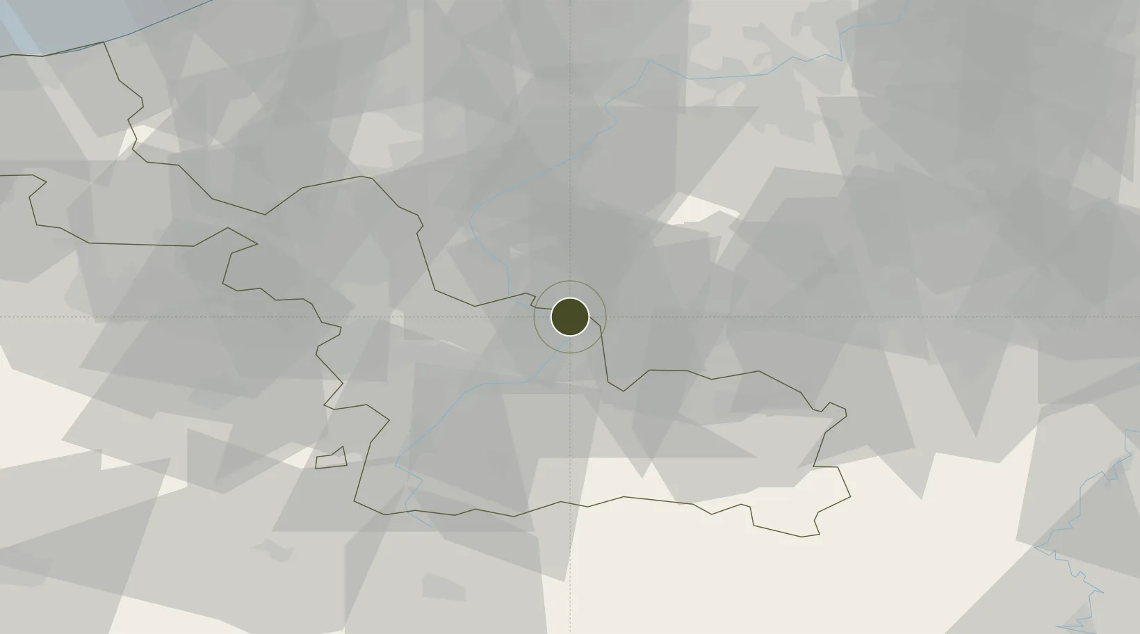
50.4661°, 3.5761°
57 ha
Zone area
67.7 km
Nearest port
17.4 km
Nearest airport

Gateway access

Nearest neighbours — logibook spatial index (haversine) over the source coordinates

Zone profile

Zone type
Economic Revitalization Project
Open Zone Map
Region
Nord
Open Zone Map
Status
Active
Open Zone Map
Management
Public
Open Zone Map
Operator
Condé sur l'Escaut
Open Zone Map
Legal framework
Décret no 65-939 du 8 novembre 1965, Décret du 9 Octobre 2008
Open Zone Map

Location

Location of ozm-1935
Natural Earth 10m (public domain) · Nord · ozm-1935 · 50.47, 3.58GoogleOSMYandex

Nearby Logistics Neighbours

Ports
  1. 1Ghent68 km
  2. 2Bruxelles70 km
  3. 3Bruges89 km
  4. 4Nieuwpoort94 km
  5. 5Oostende97 km
Nearest neighbours — logibook spatial index (haversine) over the source coordinates
Airports
  1. 1Valenciennes-Denain Airfield17 km
  2. 2Chièvres Air Base22 km
  3. 3Lille Airport35 km
  4. 4Flanders International Airport Kortrijk-Wevelgem47 km
  5. 5Brussels South Charleroi Airport63 km
Nearest neighbours — logibook spatial index (haversine) over the source coordinates
Cities
  1. 1Condé-sur-l'Escaut2 km
  2. 2Fresnes-sur-Escaut4 km
  3. 3Wiers5 km
  4. 4Escautpont6 km
  5. 5Blaton6 km
Nearest neighbours — logibook spatial index (haversine) over the source coordinates
Trade Zones
  1. 1ZFU Denain, Douchy-les-Mines, Escaudain et Lourches22 km
  2. 2ZFU Maubeuge, Louvroil34 km
  3. 3ZFU Auby, Flers-en-Escrebieux, Roost-Warendin, Douai, et Waziers36 km
  4. 4ZFU Hem et Roubaix38 km
  5. 5ZFU Tourcoing41 km
Nearest neighbours — logibook spatial index (haversine) over the source coordinates
DatabookThe Record of Consolidated Knowledge
France beyond logistics?
Browse databook

All Sources

Trade ZonesOpen Zone Map
CC BY
Portsthe NGA World Port Index
Public domain (US gov)
AirportsOurAirports
Public domain
LocationsUN/LOCODE
UN/LOCODE — free
← France trade zones