Transport Functions
Port
Road
Hub Profile
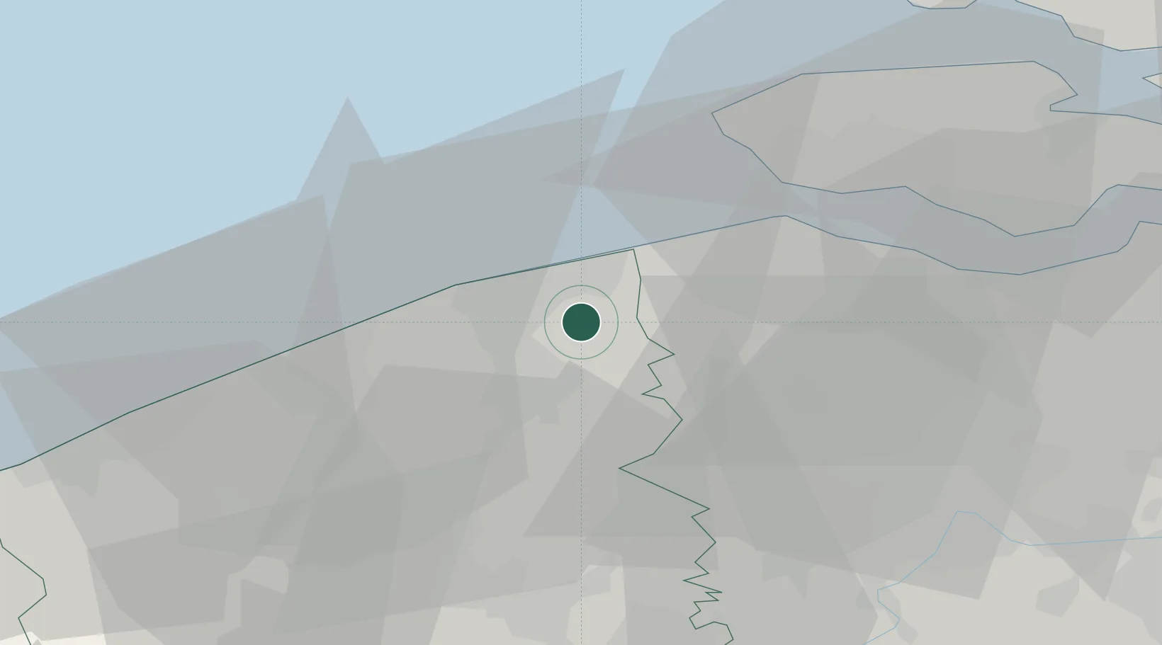
Place type
Populated place
Region
Flanders
Population
627
Time zone
Europe/Brussels
Elevation
4 m
Location
Nearby Logistics Neighbours
Cities
- 1Lissewege7 km
- 2Brugge (Bruges)8 km
- 3Zeebrugge9 km
- 4Scheepsdale9 km
- 5Sijsele10 km
Ports
- 1Bruges7 km
- 2Zeebrugge8 km
- 3Oostende26 km
- 4Vlissingen29 km
- 5Terneuzen38 km
Airports
Trade Zones
- 1ZFU Tourcoing63 km
- 2ZFU Hem et Roubaix67 km
- 3ZFU Saint Pol sur Mer72 km
- 4ZFU de Lille et de Loos75 km
- 5ZFU Condé sur lEscaut93 km
DatabookThe Record of Consolidated Knowledge
Belgium beyond logistics?