Economic Revitalization Project · France

ZFU Tourcoing Active
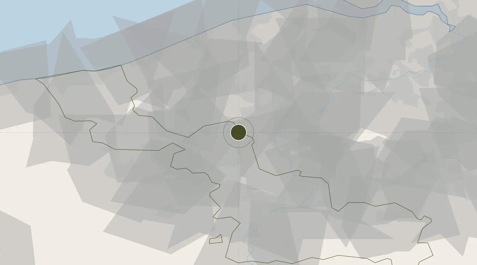
50.7237°, 3.1585°
536 ha
Zone area
53.8 km
Nearest port
11.2 km
Nearest airport

Gateway access

Nearest neighbours — logibook spatial index (haversine) over the source coordinates

Zone profile

Zone type
Economic Revitalization Project
Open Zone Map
Region
Nord
Open Zone Map
Status
Active
Open Zone Map
Management
Public
Open Zone Map
Operator
Mairie de Tourcoing
Open Zone Map
Legal framework
Décret no 65-939 du 8 novembre 1965, Décret du 9 Octobre 2008
Open Zone Map

Location

Location of ozm-2020
Natural Earth 10m (public domain) · Nord · ozm-2020 · 50.72, 3.16GoogleOSMYandex

Nearby Logistics Neighbours

Ports
  1. 1Nieuwpoort54 km
  2. 2Ghent56 km
  3. 3Bruges57 km
  4. 4Oostende59 km
  5. 5Zeebrugge68 km
Nearest neighbours — logibook spatial index (haversine) over the source coordinates
Airports
  1. 1Flanders International Airport Kortrijk-Wevelgem11 km
  2. 2Lille Airport18 km
  3. 3Merville-Calonne Airport38 km
  4. 4Valenciennes-Denain Airfield49 km
  5. 5Chièvres Air Base50 km
Nearest neighbours — logibook spatial index (haversine) over the source coordinates
Cities
  1. 1Tourcoing1 km
  2. 2Roncq4 km
  3. 3Roubaix5 km
  4. 4Aalbeke6 km
  5. 5Halluin7 km
Nearest neighbours — logibook spatial index (haversine) over the source coordinates
DatabookThe Record of Consolidated Knowledge
France beyond logistics?
Browse databook

All Sources

Trade ZonesOpen Zone Map
CC BY
Portsthe NGA World Port Index
Public domain (US gov)
AirportsOurAirports
Public domain
LocationsUN/LOCODE
UN/LOCODE — free
← France trade zones