UN/LOCODE hub · Belgium
BEZEE
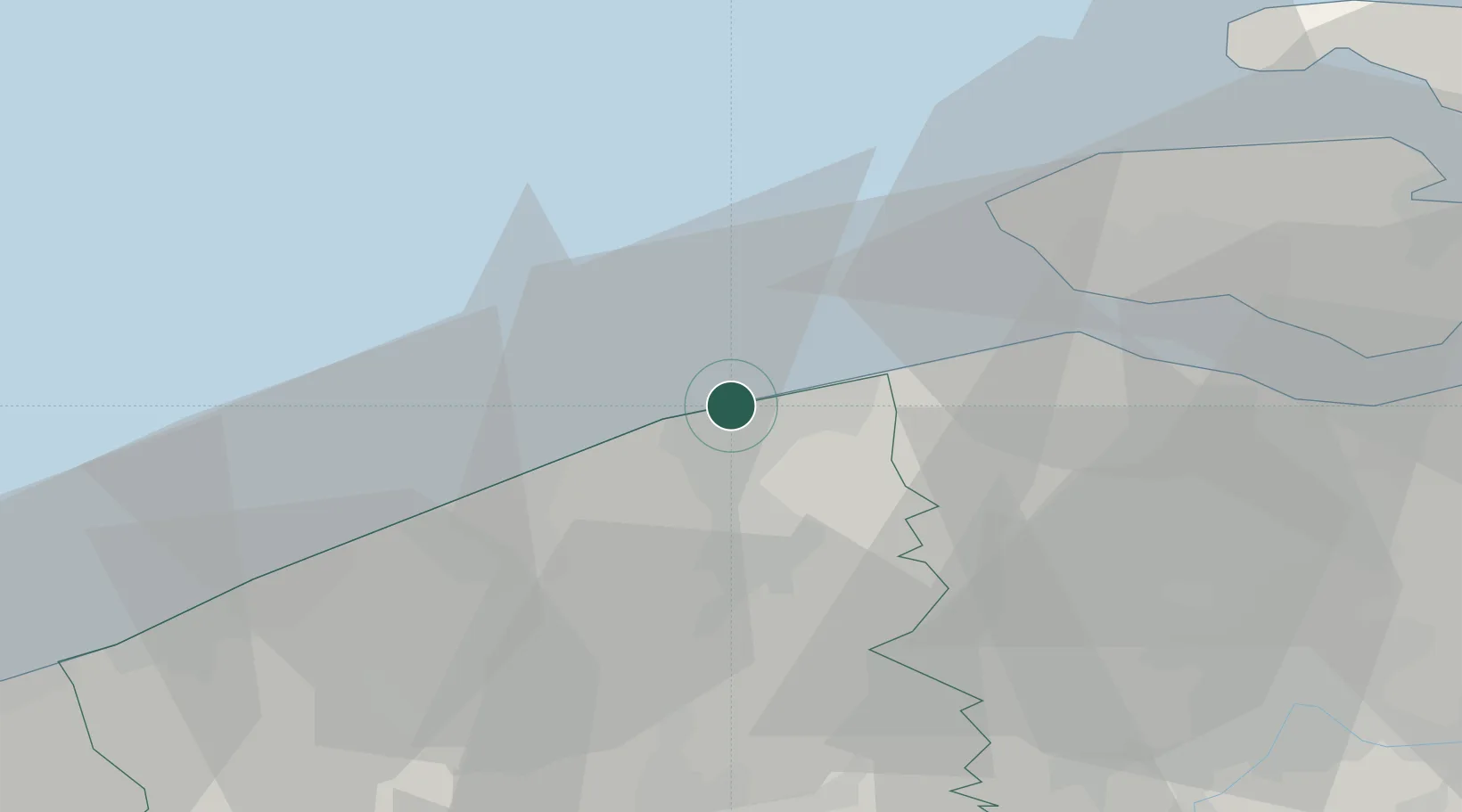
Zeebrugge
51.3432°, 3.1931°
3,865
Population
2
Transport functions
2
Container terminals
Transport Functions
Port
Road
Hub Profile
Place type
Populated place
Region
Flanders
Population
3,865
Time zone
Europe/Brussels
Elevation
10 m
Logistics facilities
8
Container terminals
2
Location
Nearby Logistics Neighbours
Cities
- 1Lissewege5 km
- 2Blankenberge5 km
- 3Oostkerke9 km
- 4Scheepsdale14 km
- 5Brugge (Bruges)14 km
Ports
- 1Bruges12 km
- 2Oostende23 km
- 3Vlissingen31 km
- 4Nieuwpoort39 km
- 5Terneuzen43 km
Airports
Trade Zones
- 1ZFU Tourcoing69 km
- 2ZFU Saint Pol sur Mer69 km
- 3ZFU Hem et Roubaix73 km
- 4ZFU de Lille et de Loos80 km
- 5ZFU Condé sur lEscaut101 km
DatabookThe Record of Consolidated Knowledge
Belgium beyond logistics?