Medium airport · Belgium

Flanders International Airport Kortrijk-WevelgemEBKT
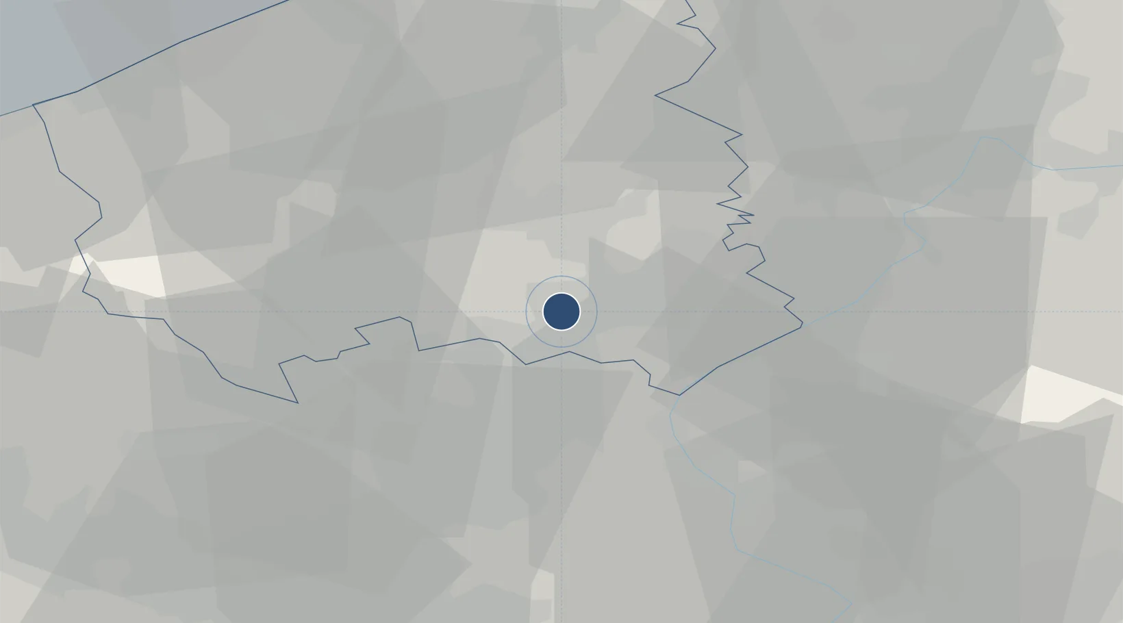
50.8189°, 3.2096°
6,234 ft
Longest runway
1
Runways
55 ft
Elevation

Runway & Layout

Flanders International Airport Kortrijk-Wevelgem runway & taxiway layout
Runway & taxiway layout — OpenStreetMap (ODbL) / OurAirports

Radio Frequencies

UNIC
120.25 MHz
AFIS
OurAirports

Navaids

OKT NDB Kortrijk 371 kHz
OurAirports

Runways · 1

RunwayDimensions SurfaceTrue headingLit
06/24 6,234 × 148ft Asphalt 062°
OurAirports

Airport Specifications

IATA code
KJK
OurAirports
ICAO code
EBKT
OurAirports
Airport class
Medium airport
OurAirports
Scheduled service
No
OurAirports
Runway surface
Asphalt
OurAirports
Served city
Wevelgem
OurAirports

Location

Location of EBKT
Natural Earth 10m (public domain) · West Flanders · EBKT · 50.82, 3.21GoogleOSMYandex

Nearby Logistics Neighbours

Airports
  1. 1Lille Airport29 km
  2. 2Merville-Calonne Airport46 km
  3. 3Ostend-Bruges International Airport48 km
  4. 4Koksijde Air Base49 km
  5. 5Chièvres Air Base51 km
Nearest neighbours — logibook spatial index (haversine) over the source coordinates
Cities
  1. 1Bissegem1 km
  2. 2Lauwe3 km
  3. 3Wevelgem4 km
  4. 4Kortrijk4 km
  5. 5Aalbeke6 km
Nearest neighbours — logibook spatial index (haversine) over the source coordinates
Ports
  1. 1Ghent46 km
  2. 2Bruges46 km
  3. 3Nieuwpoort48 km
  4. 4Oostende50 km
  5. 5Zeebrugge57 km
Nearest neighbours — logibook spatial index (haversine) over the source coordinates
Trade Zones
  1. 1ZFU Tourcoing11 km
  2. 2ZFU Hem et Roubaix15 km
  3. 3ZFU de Lille et de Loos25 km
  4. 4ZFU Auby, Flers-en-Escrebieux, Roost-Warendin, Douai, et Waziers46 km
  5. 5ZFU Condé sur lEscaut47 km
Nearest neighbours — logibook spatial index (haversine) over the source coordinates
DatabookThe Record of Consolidated Knowledge
Belgium beyond logistics?
Browse databook

All Sources

AirportsOurAirports
Public domain
Portsthe NGA World Port Index
Public domain (US gov)
LocationsUN/LOCODE
UN/LOCODE — free
Trade Zonesthe World Bank SEZ database
CC BY 4.0
Trade ZonesOpen Zone Map
CC BY
InfrastructureOpenStreetMap
ODbL 1.0
← Belgium airports