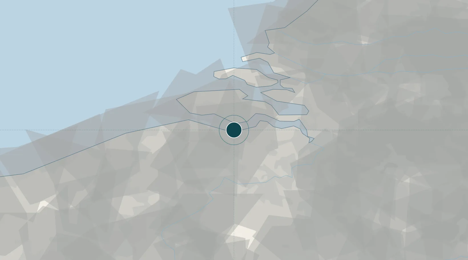
Seaport · Netherlands
TerneuzenNLTNZ
51.3500°, 3.8167°
9.4 m
Channel depth
11.9
Port liner connectivity
Channel & Berth Profile
Pilotage, Tugs & Services
Pilotage compulsoryYES
Pilotage availableYES
Pilotage advisableYES
Tug assistanceYES
Potable waterYES
Diesel bunkersYES
MedicalYES
Garbage disposalYES
Facilities & Capabilities
Container—
Ro-Ro—
Liquid bulk—
Dry bulk—
Oil terminal—
Break bulk—
Dry dockNO
RepairsNO
BunkeringYES
Rail linkYES
Dangerous cargo—
ISPS security—
Harbour Specifications
Harbour size
Medium
Harbour type
River (Tide Gates)
Shelter
Good
Water body
North Sea; North Atlantic Ocean
Tidal range
4 m
Overhead limit
Yes
Pilotage
Yes
Liner Connectivity
11.9
PLSCI
Port Liner Shipping Connectivity Index for Terneuzen, as published by UNCTAD for the latest available quarter. Higher values indicate stronger scheduled liner-shipping integration.
Shown relative to the highest per-port PLSCI in the dataset (1,657.9).
Location
Nearby Logistics Neighbours
Ports
- 1Hansweert17 km
- 2Vlissingen19 km
- 3Ghent32 km
- 4Zeebrugge43 km
- 5Antwerpen43 km
Airports
Trade Zones
- 1ZFU Tourcoing84 km
- 2ZFU Hem et Roubaix87 km
- 3ZFU de Lille et de Loos98 km
- 4ZFU Condé sur lEscaut100 km
- 5ZFU Saint Pol sur Mer109 km
DatabookThe Record of Consolidated Knowledge
Netherlands beyond logistics?