Transport Functions
Port
Road
Hub Profile
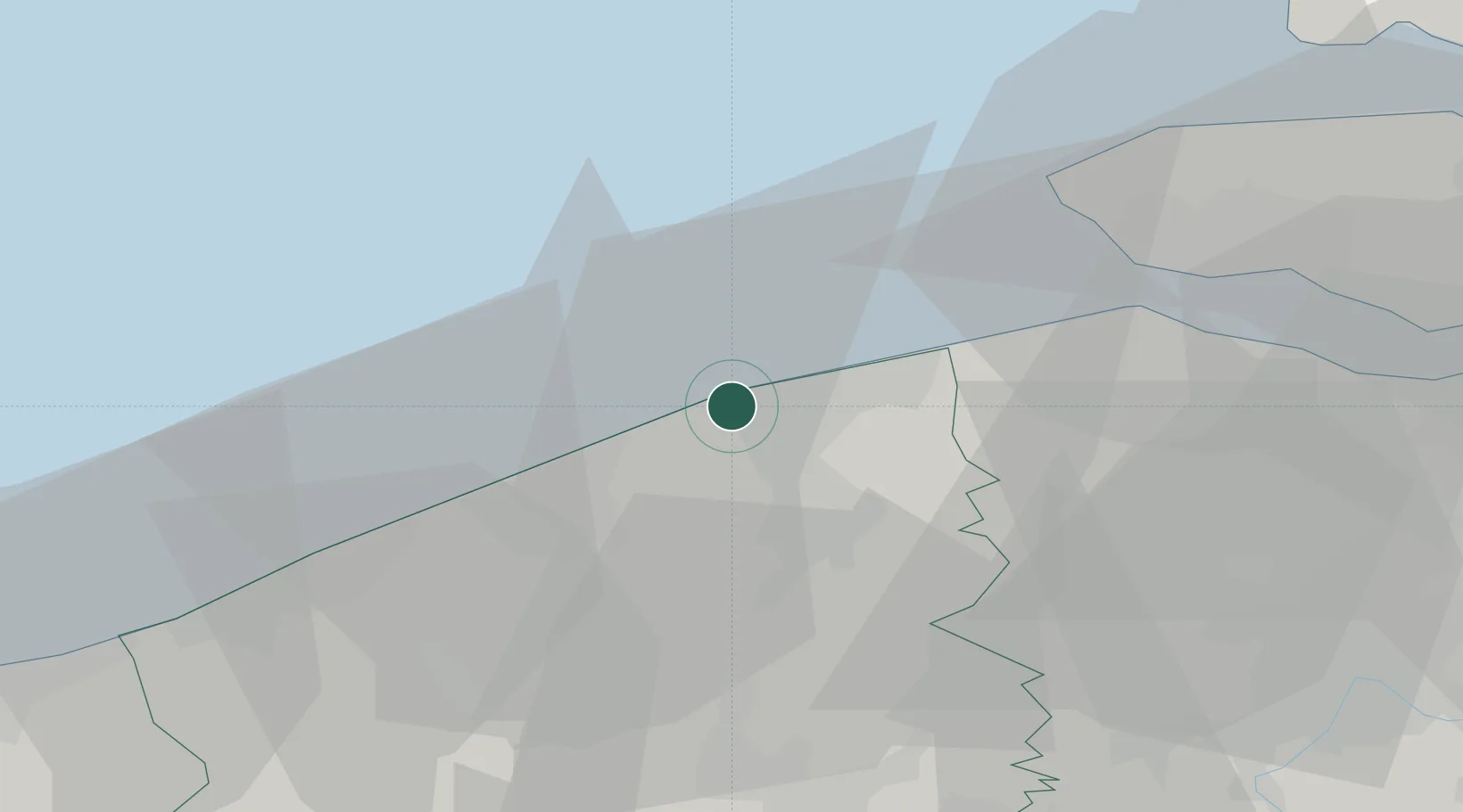
Place type
Populated place
Region
Flanders
Population
18,000
Time zone
Europe/Brussels
Elevation
6 m
Location
Nearby Logistics Neighbours
Cities
- 1Lissewege4 km
- 2Zeebrugge5 km
- 3Oostkerke11 km
- 4Scheepsdale12 km
- 5Brugge (Bruges)13 km
Ports
- 1Zeebrugge5 km
- 2Bruges11 km
- 3Oostende18 km
- 4Nieuwpoort34 km
- 5Vlissingen36 km
Airports
Trade Zones
- 1ZFU Saint Pol sur Mer64 km
- 2ZFU Tourcoing66 km
- 3ZFU Hem et Roubaix70 km
- 4ZFU de Lille et de Loos77 km
- 5ZFU Calais99 km
DatabookThe Record of Consolidated Knowledge
Belgium beyond logistics?