Medium airport · Belgium

Koksijde Air BaseEBFN
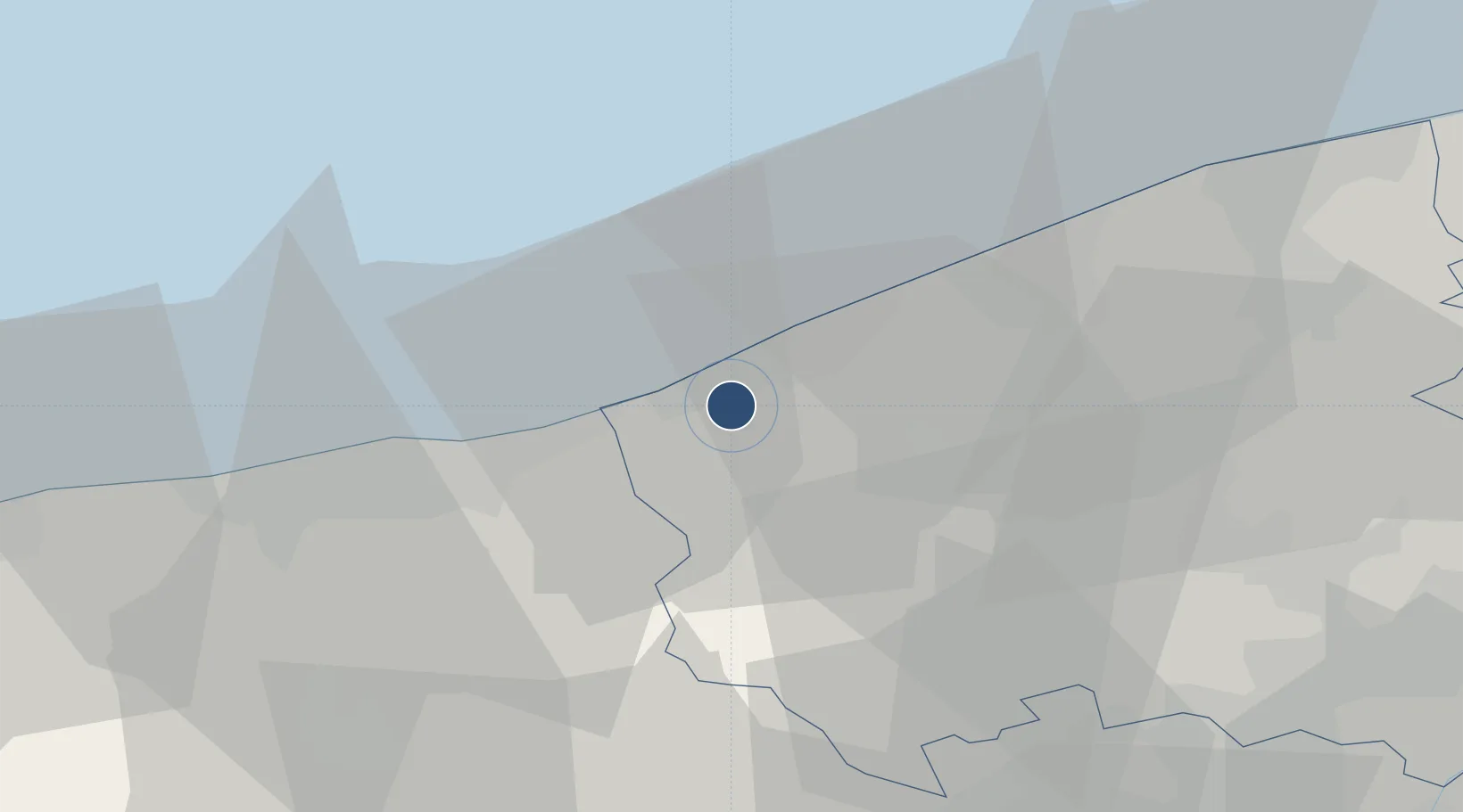
51.0903°, 2.6528°
8,786 ft
Longest runway
2
Runways
20 ft
Elevation

Runway & Layout

Koksijde Air Base runway & taxiway layout
Runway & taxiway layout — OpenStreetMap (ODbL) / OurAirports

Radio Frequencies

TWR
122.1 MHz
GND
122.1 MHz
TAXI
APP
122.5 MHz
EMR
123.1 MHz
SAR
EMR
568 MHz
SAR
INFO
129.325 MHz
BELGA INFO
OurAirports

Navaids

KOK VORTAC Koksy 114.50 MHz
OurAirports

Runways · 2

RunwayDimensions SurfaceTrue headingLit
11/29 8,786 × 164ft Asphalt / concrete 108°
02/20 2,621 × 98ft CONC
OurAirports

Airport Specifications

ICAO code
EBFN
OurAirports
Airport class
Medium airport
OurAirports
Scheduled service
No
OurAirports
Runway surface
Asphalt / concrete
OurAirports
Served city
Koksijde
OurAirports

Location

Location of EBFN
Natural Earth 10m (public domain) · West Flanders · EBFN · 51.09, 2.65GoogleOSMYandex

Nearby Logistics Neighbours

Airports
  1. 1Ostend-Bruges International Airport20 km
  2. 2Flanders International Airport Kortrijk-Wevelgem49 km
  3. 3Calais Marck Airport51 km
  4. 4Merville-Calonne Airport53 km
  5. 5Lille Airport66 km
Nearest neighbours — logibook spatial index (haversine) over the source coordinates
Cities
  1. 1Veurne3 km
  2. 2Wulpen4 km
  3. 3Adinkerke5 km
  4. 4Nieuwpoort8 km
  5. 5Sint-Joris9 km
Nearest neighbours — logibook spatial index (haversine) over the source coordinates
Ports
  1. 1Nieuwpoort8 km
  2. 2Dunkerque Port Est21 km
  3. 3Oostende24 km
  4. 4Gravelines39 km
  5. 5Bruges42 km
Nearest neighbours — logibook spatial index (haversine) over the source coordinates
Trade Zones
  1. 1ZFU Saint Pol sur Mer23 km
  2. 2ZFU Tourcoing54 km
  3. 3ZFU de Lille et de Loos57 km
  4. 4ZFU Hem et Roubaix57 km
  5. 5ZFU Calais59 km
Nearest neighbours — logibook spatial index (haversine) over the source coordinates
DatabookThe Record of Consolidated Knowledge
Belgium beyond logistics?
Browse databook

All Sources

AirportsOurAirports
Public domain
Portsthe NGA World Port Index
Public domain (US gov)
LocationsUN/LOCODE
UN/LOCODE — free
Trade Zonesthe World Bank SEZ database
CC BY 4.0
Trade ZonesOpen Zone Map
CC BY
InfrastructureOpenStreetMap
ODbL 1.0
← Belgium airports