Large airport · Belgium

Ostend-Bruges International AirportEBOS
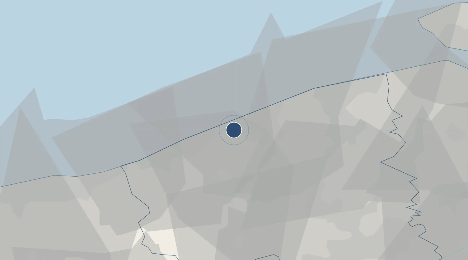
51.1998°, 2.8747°
10,499 ft
Longest runway
1
Runways
13 ft
Elevation

Runway & Layout

Ostend-Bruges International Airport runway & taxiway layout
Runway & taxiway layout — OpenStreetMap (ODbL) / OurAirports

Radio Frequencies

ATIS
126.13 MHz
TWR
118.18 MHz
Oostende Tower
GND
121.98 MHz
Oostende Ground
APP
120.6 MHz
Oostende Approach
OurAirports

Navaids

ONO NDB Oostende 400 kHz
OurAirports

Runways · 1

RunwayDimensions SurfaceTrue headingLit
08/26 10,499 × 148ft Concrete 075°
OurAirports

Airport Specifications

IATA code
OST
OurAirports
ICAO code
EBOS
OurAirports
Airport class
Large airport
OurAirports
Scheduled service
Yes
OurAirports
Runway surface
Concrete
OurAirports
Served city
Oostende
OurAirports

Location

Location of EBOS
Natural Earth 10m (public domain) · West Flanders · EBOS · 51.20, 2.87GoogleOSMYandex

Nearby Logistics Neighbours

Airports
  1. 1Koksijde Air Base20 km
  2. 2Flanders International Airport Kortrijk-Wevelgem48 km
  3. 3Merville-Calonne Airport67 km
  4. 4Calais Marck Airport70 km
  5. 5Lille Airport72 km
Nearest neighbours — logibook spatial index (haversine) over the source coordinates
Cities
  1. 1Leffinge4 km
  2. 2Snaaskerke5 km
  3. 3Oostende (Ostend)5 km
  4. 4Sas-Slijkens6 km
  5. 5Zandvoorde6 km
Nearest neighbours — logibook spatial index (haversine) over the source coordinates
Ports
  1. 1Oostende5 km
  2. 2Nieuwpoort11 km
  3. 3Bruges24 km
  4. 4Zeebrugge27 km
  5. 5Dunkerque Port Est40 km
Nearest neighbours — logibook spatial index (haversine) over the source coordinates
Trade Zones
  1. 1ZFU Saint Pol sur Mer42 km
  2. 2ZFU Tourcoing57 km
  3. 3ZFU Hem et Roubaix60 km
  4. 4ZFU de Lille et de Loos64 km
  5. 5ZFU Calais78 km
Nearest neighbours — logibook spatial index (haversine) over the source coordinates
DatabookThe Record of Consolidated Knowledge
Belgium beyond logistics?
Browse databook

All Sources

AirportsOurAirports
Public domain
Portsthe NGA World Port Index
Public domain (US gov)
LocationsUN/LOCODE
UN/LOCODE — free
Trade Zonesthe World Bank SEZ database
CC BY 4.0
Trade ZonesOpen Zone Map
CC BY
InfrastructureOpenStreetMap
ODbL 1.0
← Belgium airports